
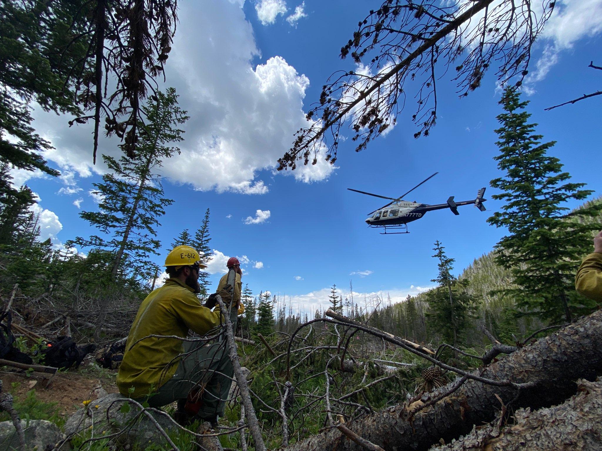
The Arapaho and Roosevelt National Forests, Grand County, and other federal and local resources responded to reports of the Devil's Thumb Fire at approximately 2:30 p.m. on Tuesday, July 4, 2023. The fire was in the Indian Peaks Wilderness near Devil's Thumb Park Trailhead in Grand County, approximately seven miles northeast of Fraser, CO. The Devil's Thumb Fire was located in an area of heavy mountain pine beetle kill lodgepole pine and spruce blowdown.
The fire was called 100% contained on the evening of Wednesday, August 2, 2023.
For more information on the Devil's Thumb Fire, follow us on Facebook and Twitter. To receive email updates on this fire, join our email list and select Forest Health & Fire: Grand County (Winter Park, Fraser, Granby, Grand Lake, Hot Sulphur).
| Current as of | Mon, 09/25/2023 - 10:52 |
|---|---|
| Incident Type | Wildfire |
| Cause | Natural Cause - Lightning |
| Date of Origin | |
| Location | Near Devil's Thumb Park Trailhead, 7 mi Northeast of Fraser, CO |
| Incident Description | Fire in the Indian Peaks Wilderness, in steep rocky terrain and lodgepole pine/spruce blowdown. |
| Coordinates |
39° 58' 56'' Latitude
-105° 42' 31
'' Longitude
|
| Size | 81 Acres |
|---|---|
| Percent of Perimeter Contained | 100% |