Incident Media Photographs
Could not determine your location.
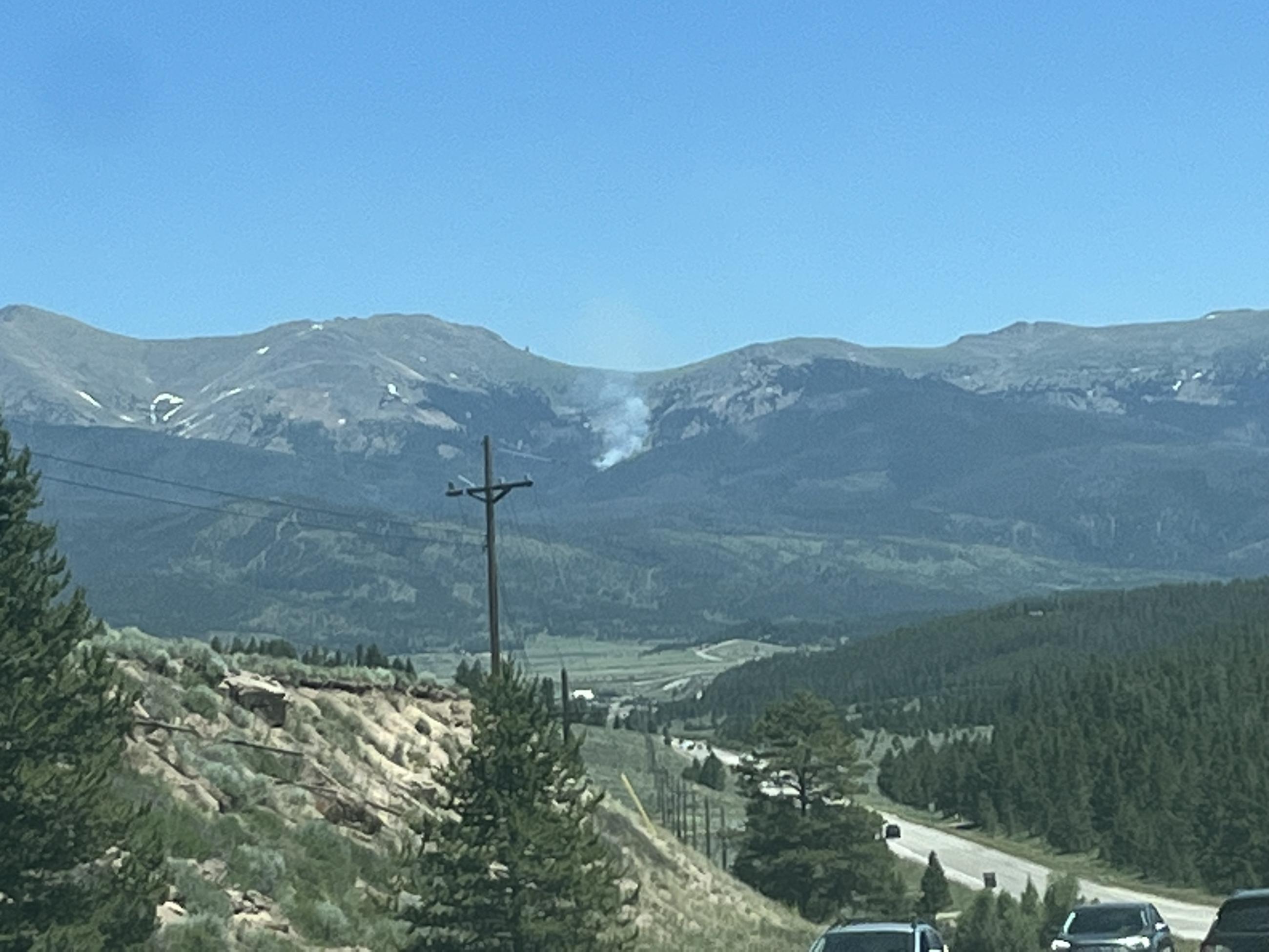
 Wildfire
 Prescribed Fire
 Burned Area
Response
Burned Area
Response Other
Other
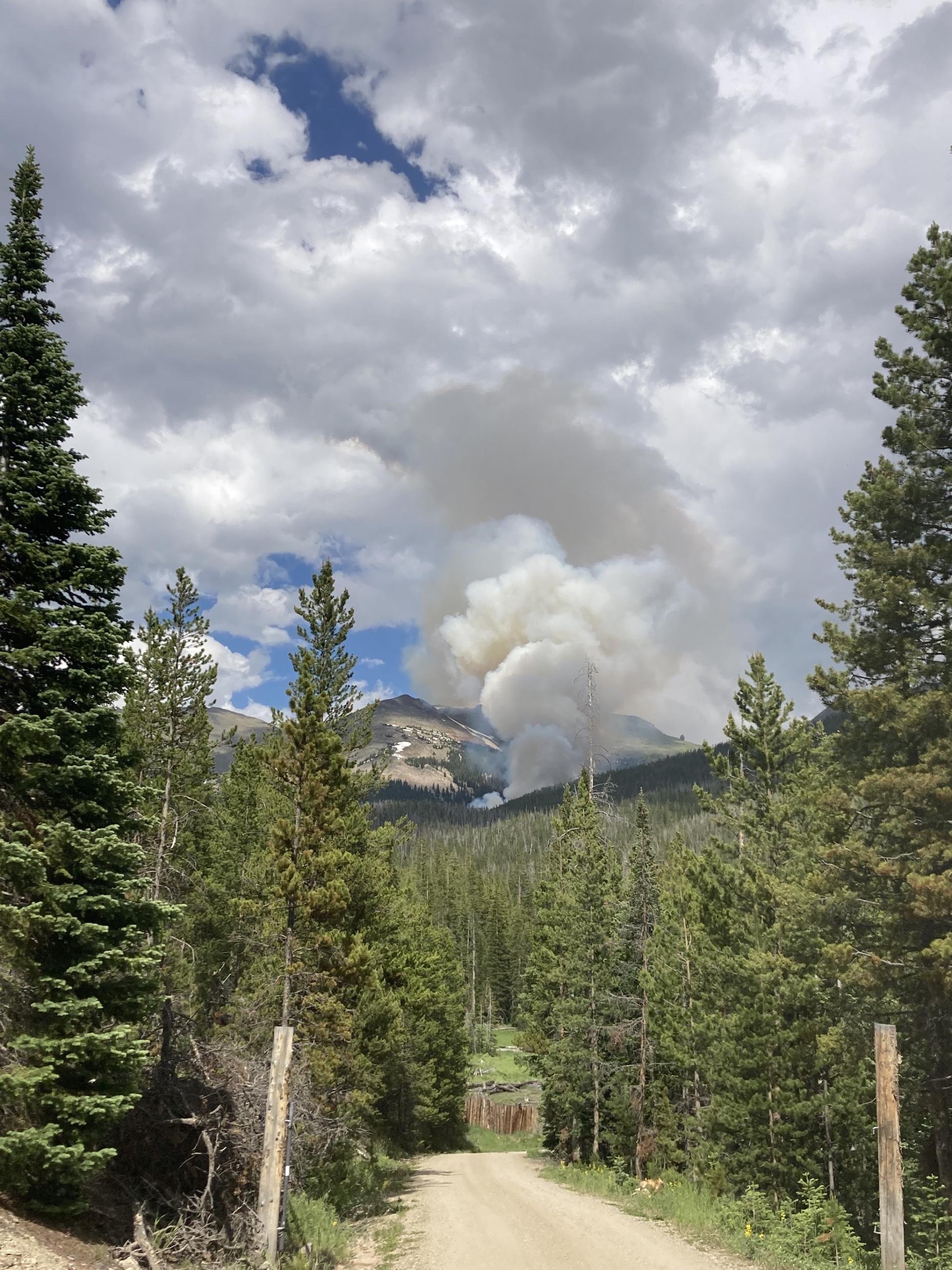
Photographs Gallery
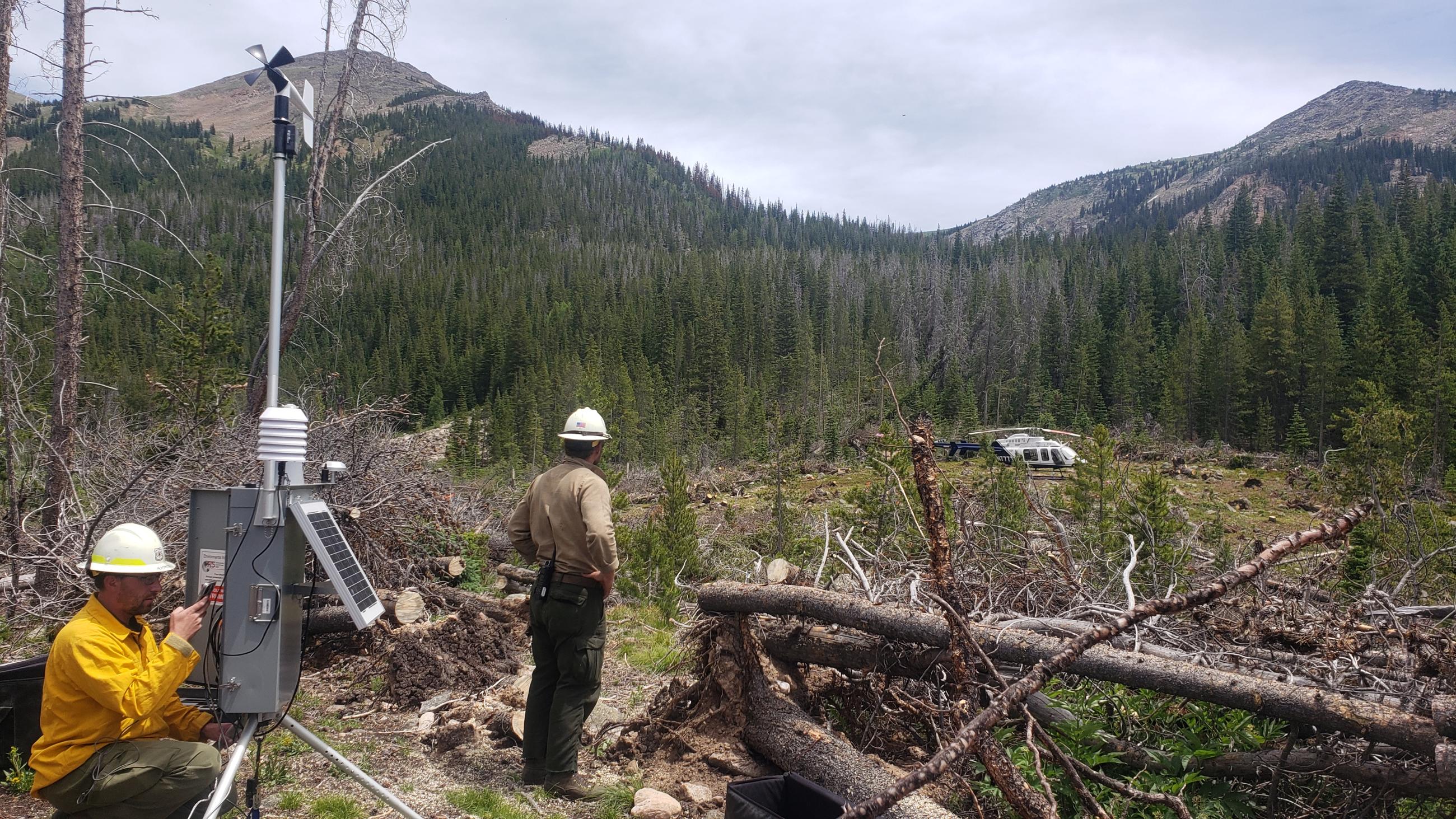
Remote Automated Weather Station (RAWS) being installed near the southside of the Devil's Thumb Fire. Scott Headrick USFS installed a portable remote automated weather station. This improvement will allow incident meteorologists to have increased weather data which can promote better weather forecasting.

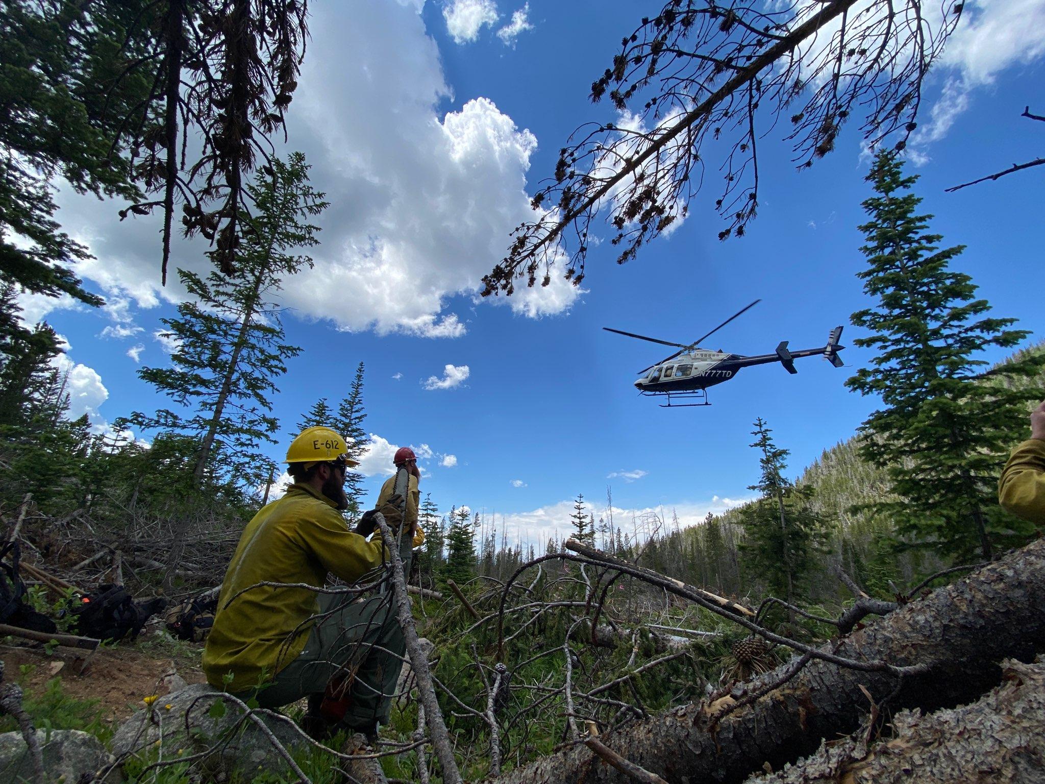
Type 2 helicopter crews work with the long line to conduct hoist operations on the Devil's Thumb Fire.
? Tom Bates Resource Advisor for the incident
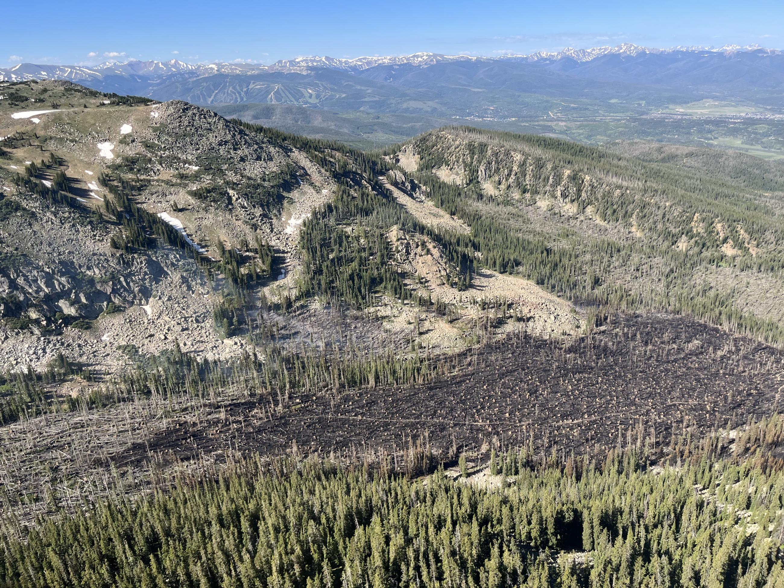
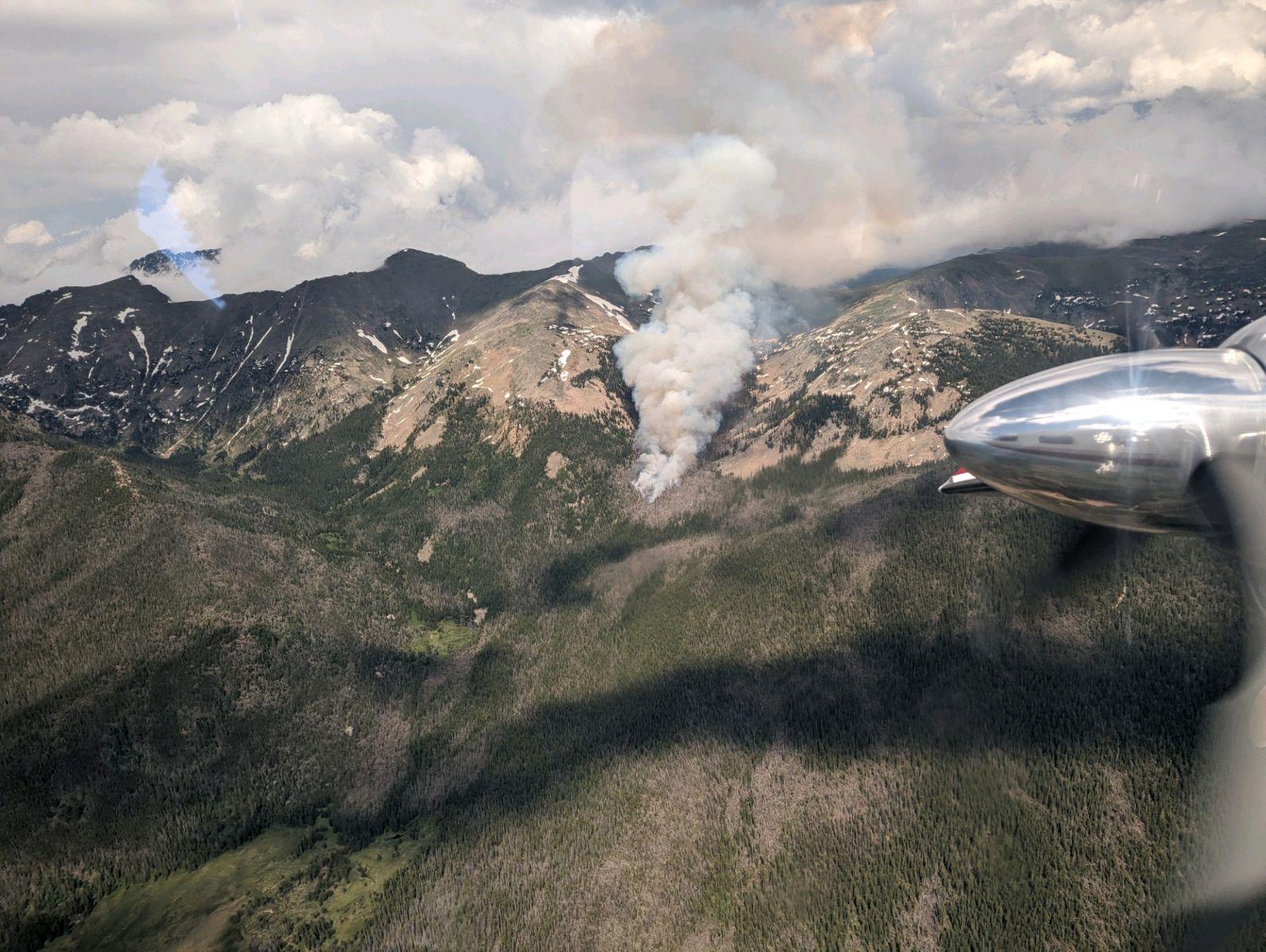
Incident Commander, Mike Smith, on the Devil's Thumb Fire took this photo on Tuesday, July 11, while flying over the fire to gather situational awareness and assess the risks involved.
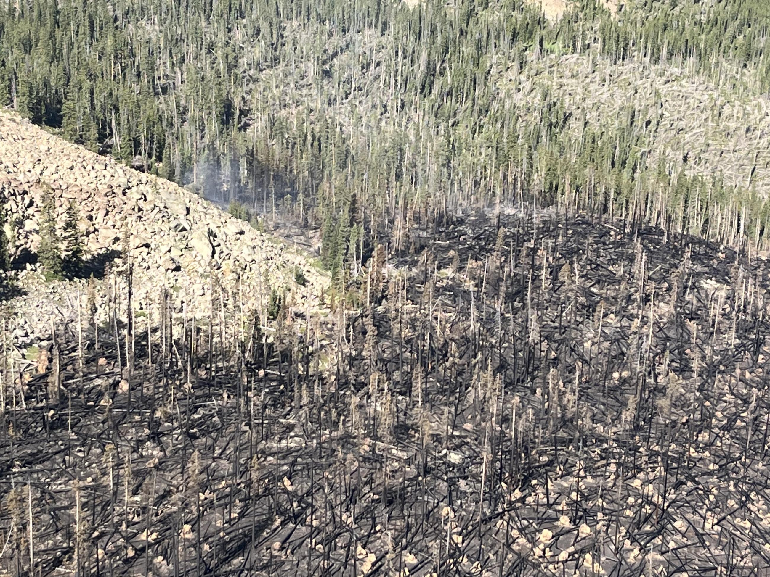
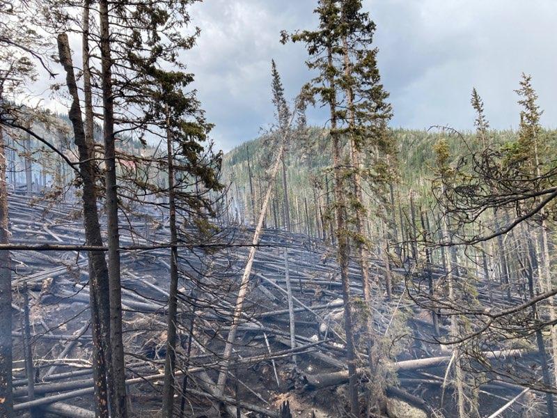
A view of the burned "jackstraw" timber and all of the blow down lodgepole pine in the fire area.
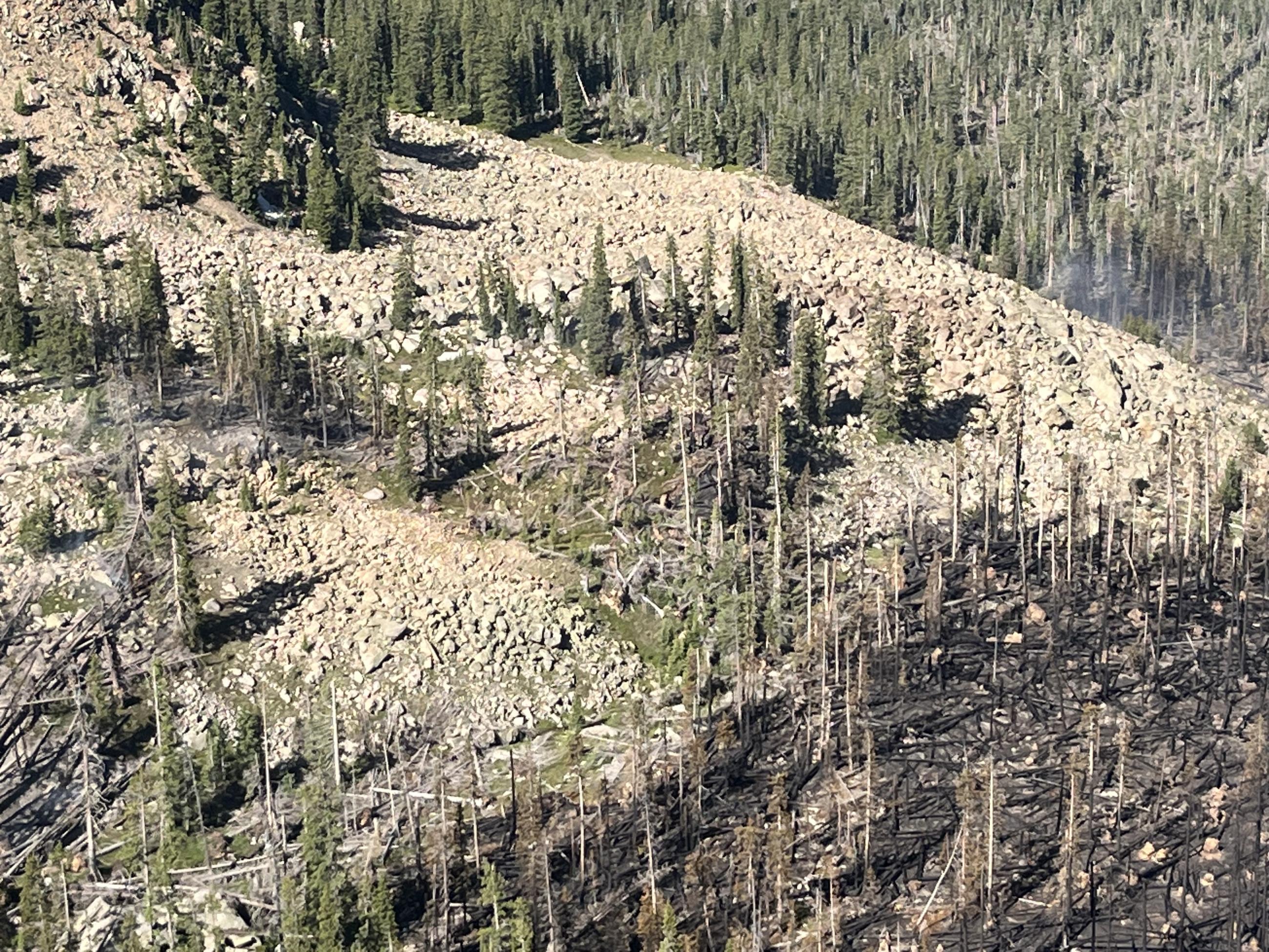
A view of the burned "jackstraw" timber and scree fields from the helicopter flying over the fire. Hazardous trees and difficult terrain make firefighting a challenge here.