
Current Updates | Maps | Photos
The Bedrock Fire started near Bedrock Campground on the Middle Fork Ranger District of the Willamette National Forest on July 22, 2023. Resources from the USDA Forest Service, Oregon Department of Forestry, US Bureau of Land Management and private industry worked hard to fully suppress the fire. Unusually dry fuels, steep slopes, and gusty winds contributed to rapid fire growth at times. The fire has not spread in weeks. Firefighters are engaged in fire suppression repair activities to protect natural and cultural resources by preventing sedimentation in the waterways and covering dozer lines.
| Current as of | Mon, 10/09/2023 - 13:59 |
|---|---|
| Incident Type | Wildfire |
| Cause | Undetermined |
| Date of Origin | |
| Location | 10 miles NE of Lowell, Oregon |
| Incident Commander | Incident Commander - Alan Lawson Deputy Incident Commander - Nathan Rabe |
| Incident Description | Full suppression wildfire. |
| Coordinates |
43° 58' 17'' Latitude
-122° 32' 46
'' Longitude
|
| Total Personnel: | 5 |
|---|---|
| Size | 31,590 Acres |
| Percent of Perimeter Contained | 100% |
| Estimated Containment Date | 10/01/2023 |
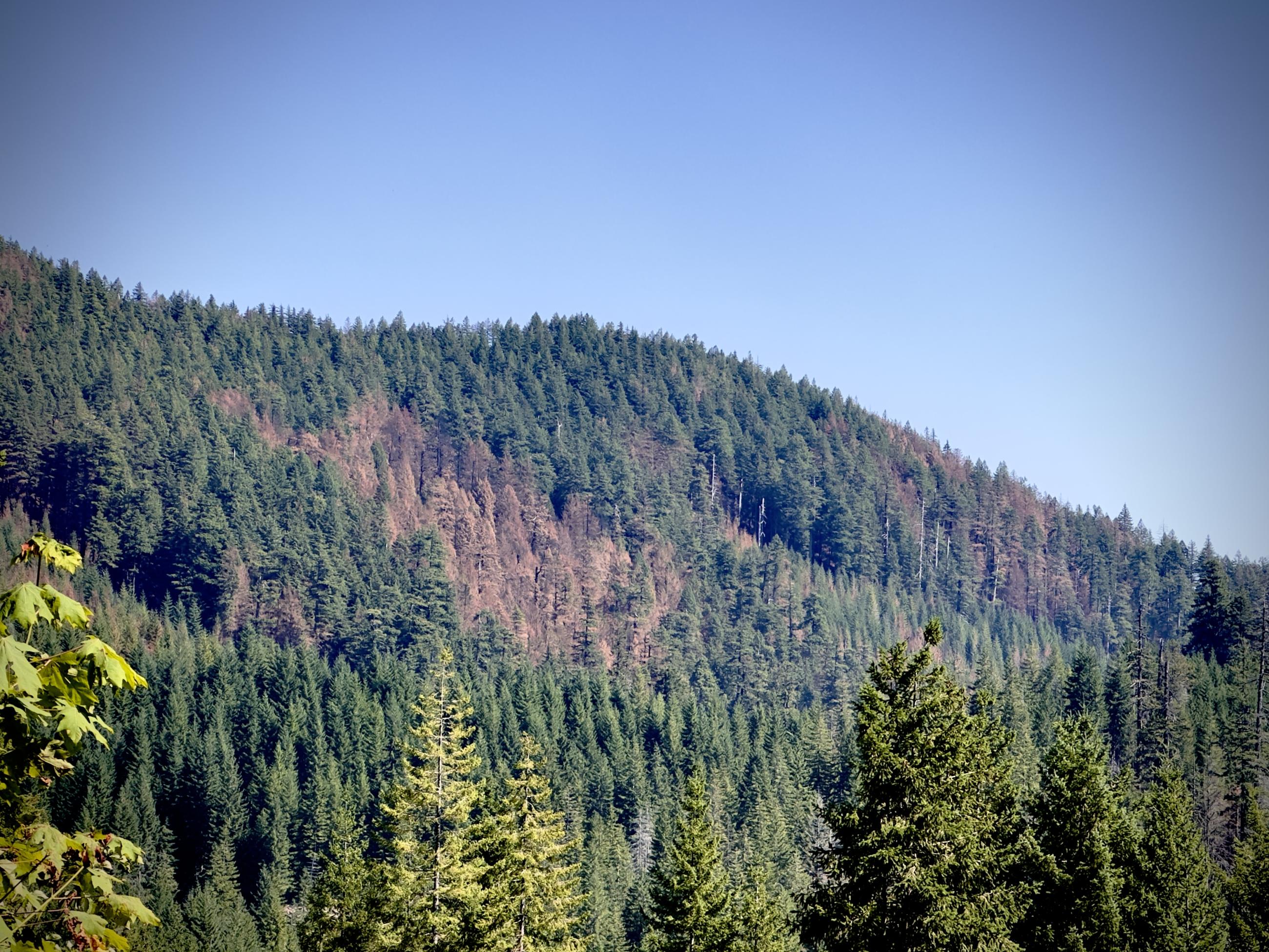
| Fuels Involved | Timber (Litter and Understory) Mixed stands of varying age classes exist throughout the fire area. Old growth stands contain surface fuel loading with an abundance of moss and lichen in the canopy. Younger managed stands have an understory of brush/shrub component. Youngest stands of forest regeneration have a heavy slash component from prior harvest. Primary carrier in old growth stands is 100 and 1000 hour fuels with spread accelerated by short range spotting from lichen. Primary carrier in managed stands is timber and slash. |
| Significant Events | Minimal Smoldering Creeping Last warm and dry day before a frontal passage, fine fuel moistures will drop low enough to support fire spread. Overnight RH recoveries remain good. Expect primarily smoldering fire behavior in dead and down heavy fuels. Potential for some surface fire, creeping through interior islands is possible. |
| Planned Actions |
Repair operations occurring. this includes skidding, processing, and hauling of suppression generated material, hazard tree falling, chipping, dozer/handlines, road repair, culvert clearing, pulling structure wrap and backhaul of pumps, hose, sprinkler kits, etc... |
|---|---|
| Projected Incident Activity |
12 hours: Excellent relative humidity recovery should keep fire behavior to a minimum. Smoldering is expected in heavy dead and down fuel. No growth is expected. 24 hours: As the weather changes so will the fire behavior potential. As cool and moist conditions return expect to see smoldering in heavy dead and down fuel. No growth is expected. 48 hours: Cool and moist conditions, fine fuels will be resistant to burning as they reach moisture of extinction levels. Expect smoldering in protected heavy dead and down fuel. No growth is expected. 72 hours: Cool and moist conditions, fine fuels will be resistant to burning as they reach moisture of extinction levels. Expect smoldering in protected in protected heavy dead and down fuel. No growth is expected. |
| Weather Concerns | Winds from the South Saturday evening attributed to excellent overnight humidity recoveries between 90-100%. However, winds shifted from the East late Saturday night and continued through 0900 before shifting out of the Southwest at noon. Morning humidities dropped quickly under the East winds from 100% to 36% from 0900 to 1200, but Southwest winds slowed the decline to only 30% by 1400. Winds also picked up with the shifting directions out of the Southwest, with gusts up to 12mph observed. Clear skies allowed morning low temperatures to drop into the mid to upper 40s as high temperatures broke into the upper 70s to low 80s. These changing conditions are a result of the upper-level ridge exiting to our East and losing its influence over the fire area, giving way to an approaching system that is poised to bring significant rainfall over the next 3 days. Rain is expected to begin Monday morning, with a reinforcing system moving onshore on Tuesday. |
|---|