
Incident Media Photographs
Could not determine your location.
 Wildfire
 Prescribed Fire
 Burned Area
Response
Burned Area
Response Other
Other
Photographs Gallery
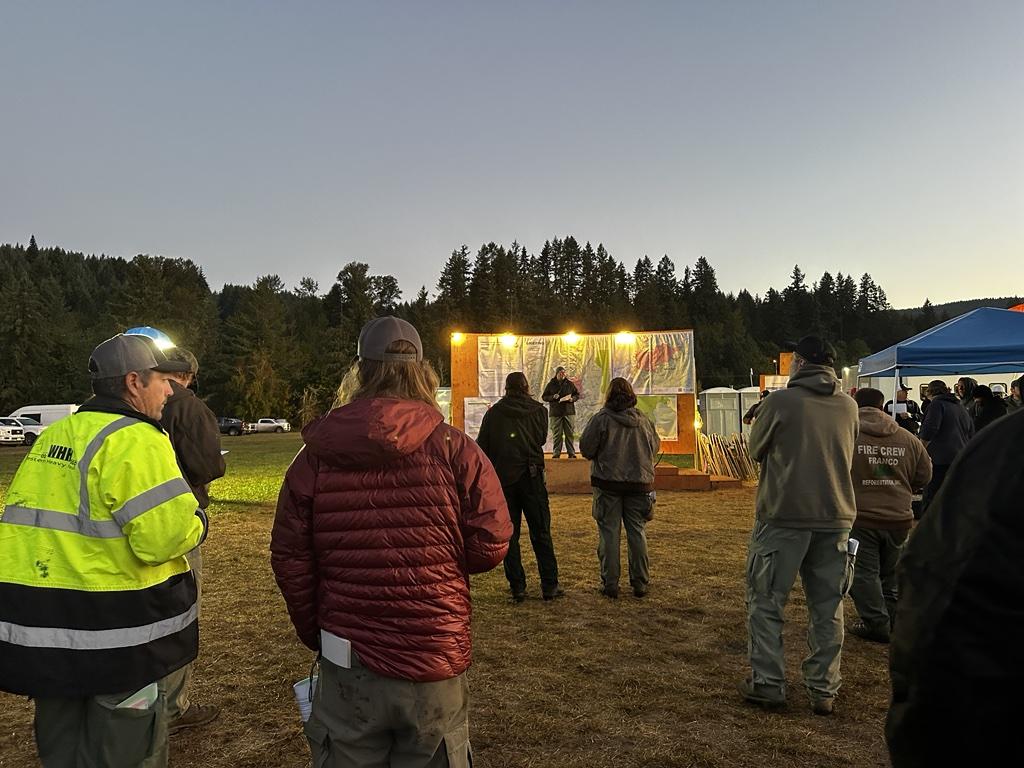
Crews gather for morning briefing as work on the Lookout and Bedrock Fires nears completion.
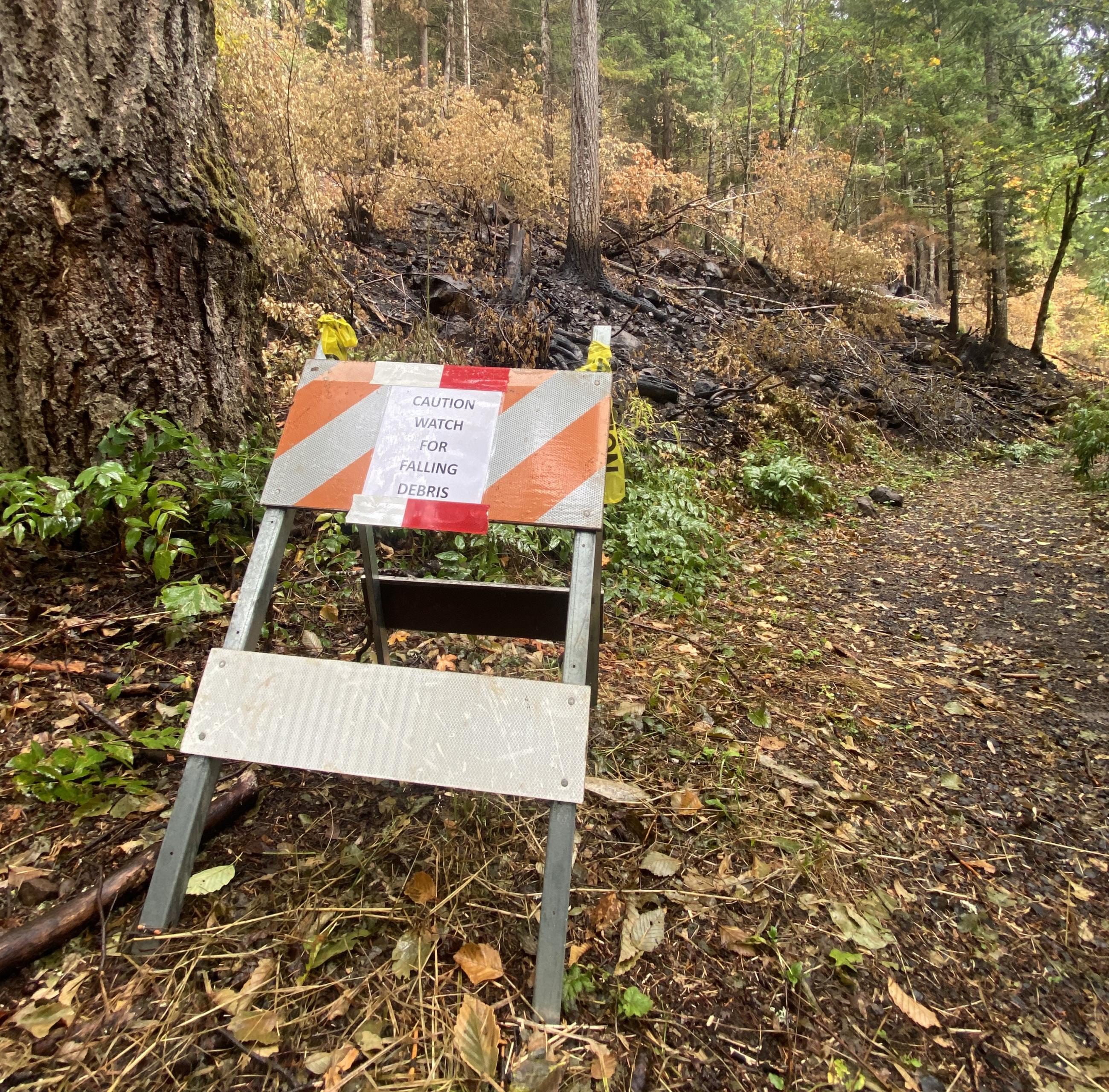
As emergency closures are lifted, it is imperative to remain vigilant and cautious when entering fire-impacted areas. Keep a special watch for hazards such as falling trees and loose debris.
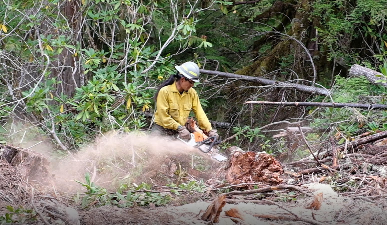
Firefighters are clearing debris in areas affected by suppression efforts.
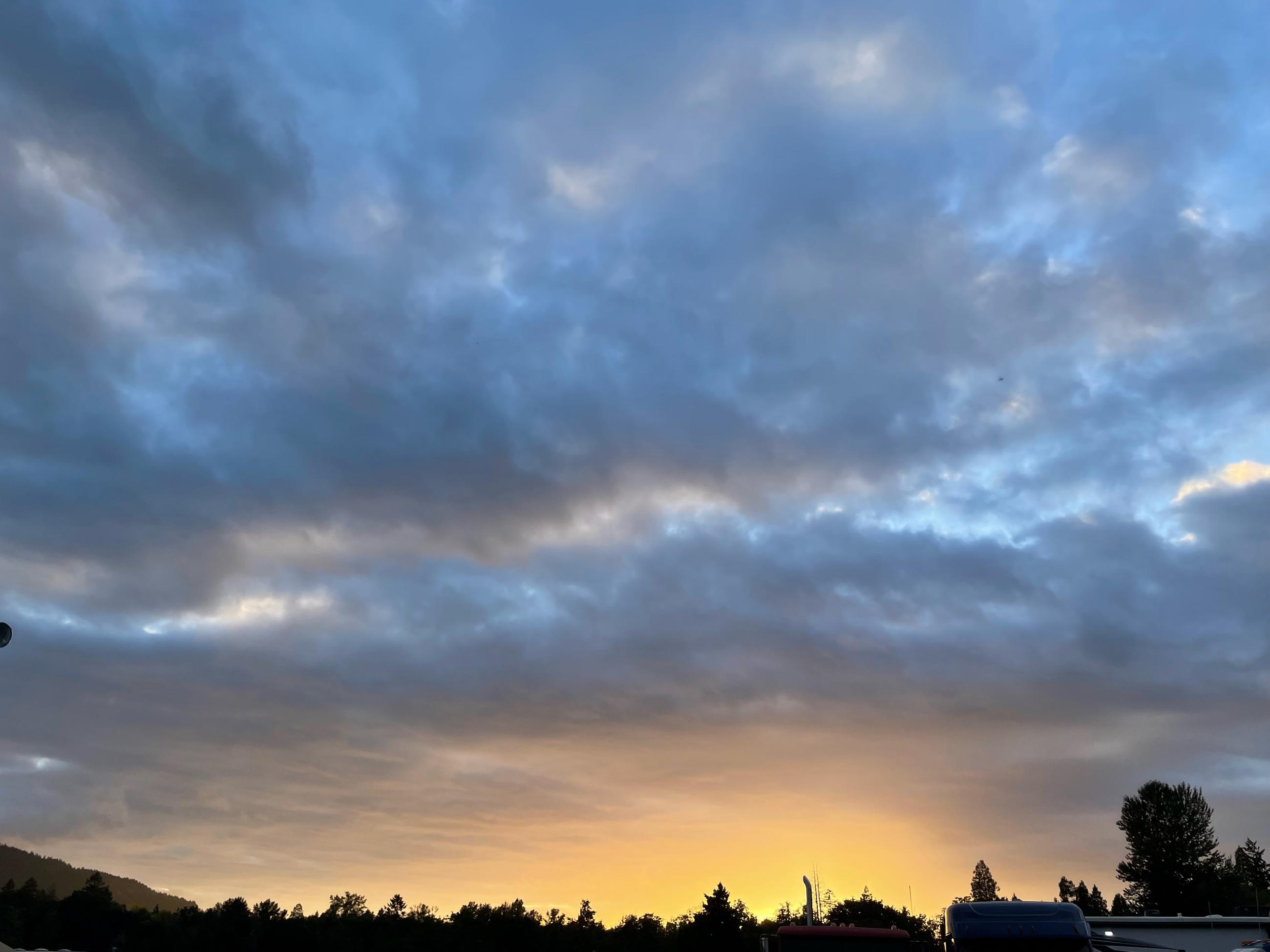
Rain Clouds seen over the Lookout Fire Camp on September 27th, 2023
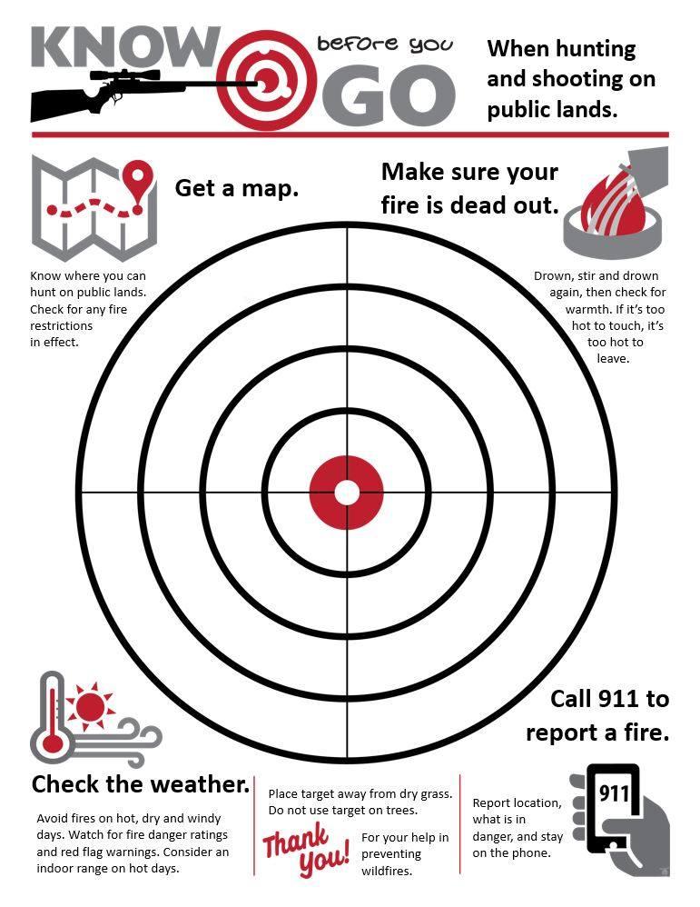
It’s hunting season in Oregon, and it is still fire season as well. Hunters may be traveling in areas with moderate to high fire dangers or fire closures from recent or ongoing wildfires. Before you go hunting this season, be sure to check out our Alerts webpage for current closure information. Keep in mind, closures can change depending on fire activity. Please hunt safely and be sure of your target. Remember, you are sharing the woods with other people working and recreating close by!
More info about hunting on the Siuslaw National Forest: https://www.fs.usda.gov/act.../willamette/recreation/hunting
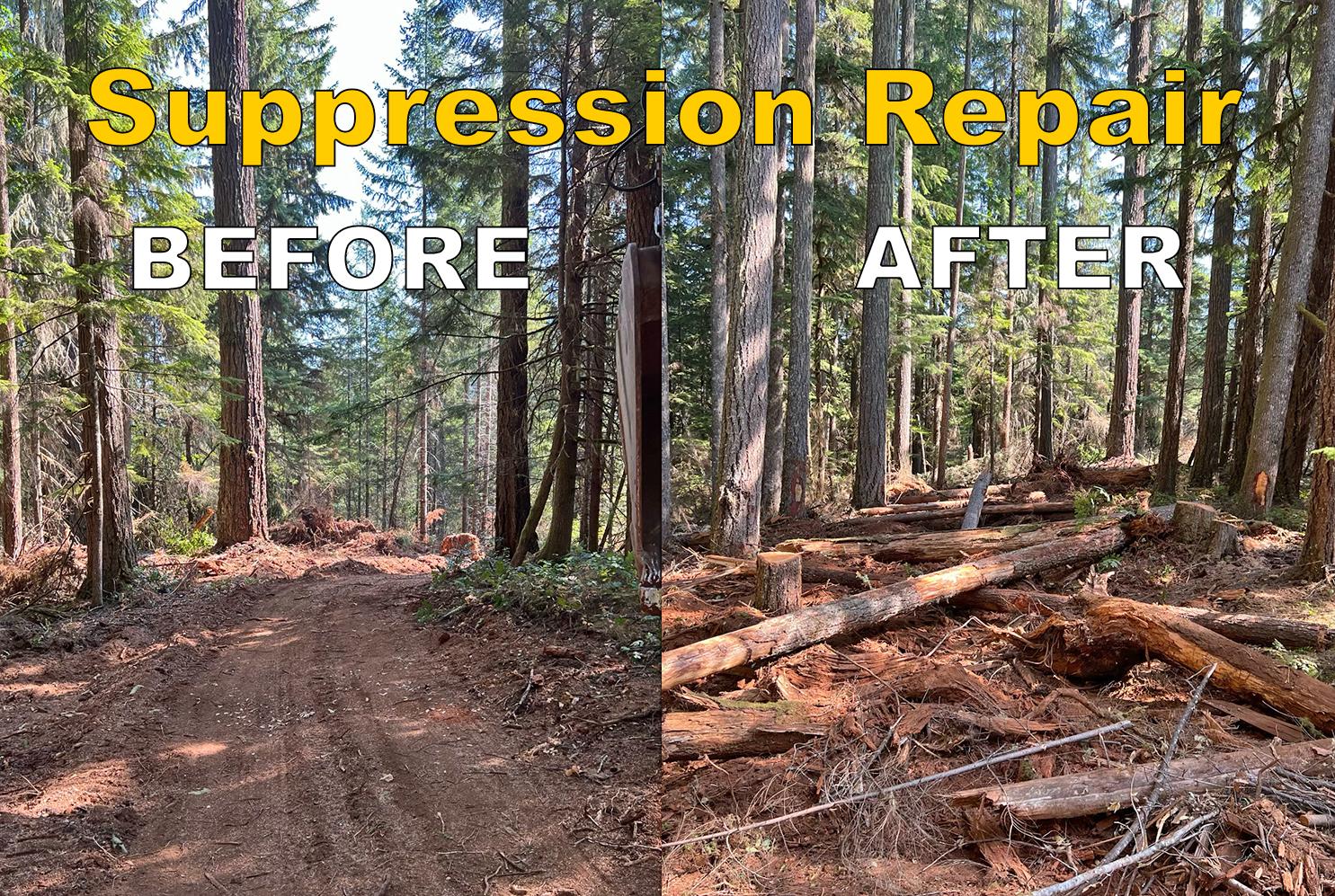
Suppression repair consists of returning the disturbed areas, fire lines, staging areas, helipads etc., to as natural a state as possible. This is to minimize any future damage or impacts to the watersheds due to erosion. Heavy equipment is used for large disturbances by pulling back the removed natural vegetation over the dozer lines to protect the soil and make it easier for the ground to recover. #BedrockFire
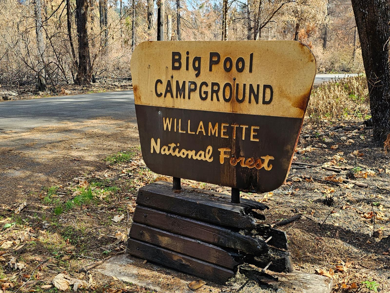
The Bedrock Fire impacted some of the popular recreation sites including the Big Pool Campground. Fire and forest personnel continue to work on assessments and mitigations. Photo credit: PNW2 PIO Kale Casey
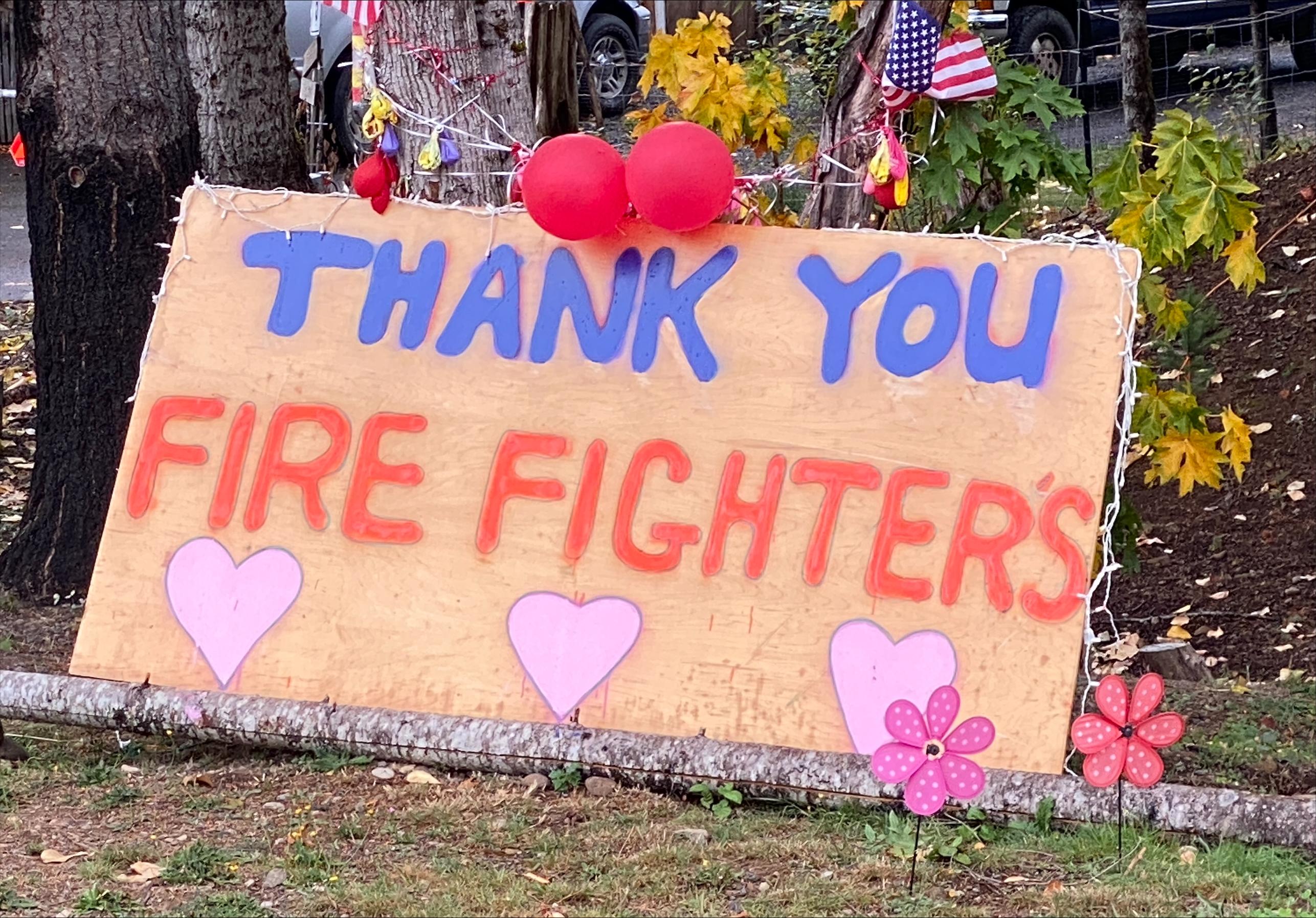
A thank you firefighter sign was displayed outside of a McKenzie community home. We appreciate your support as we continue to work towards suppression repair!

Smoke Outlook Sunday, September 24, 2023
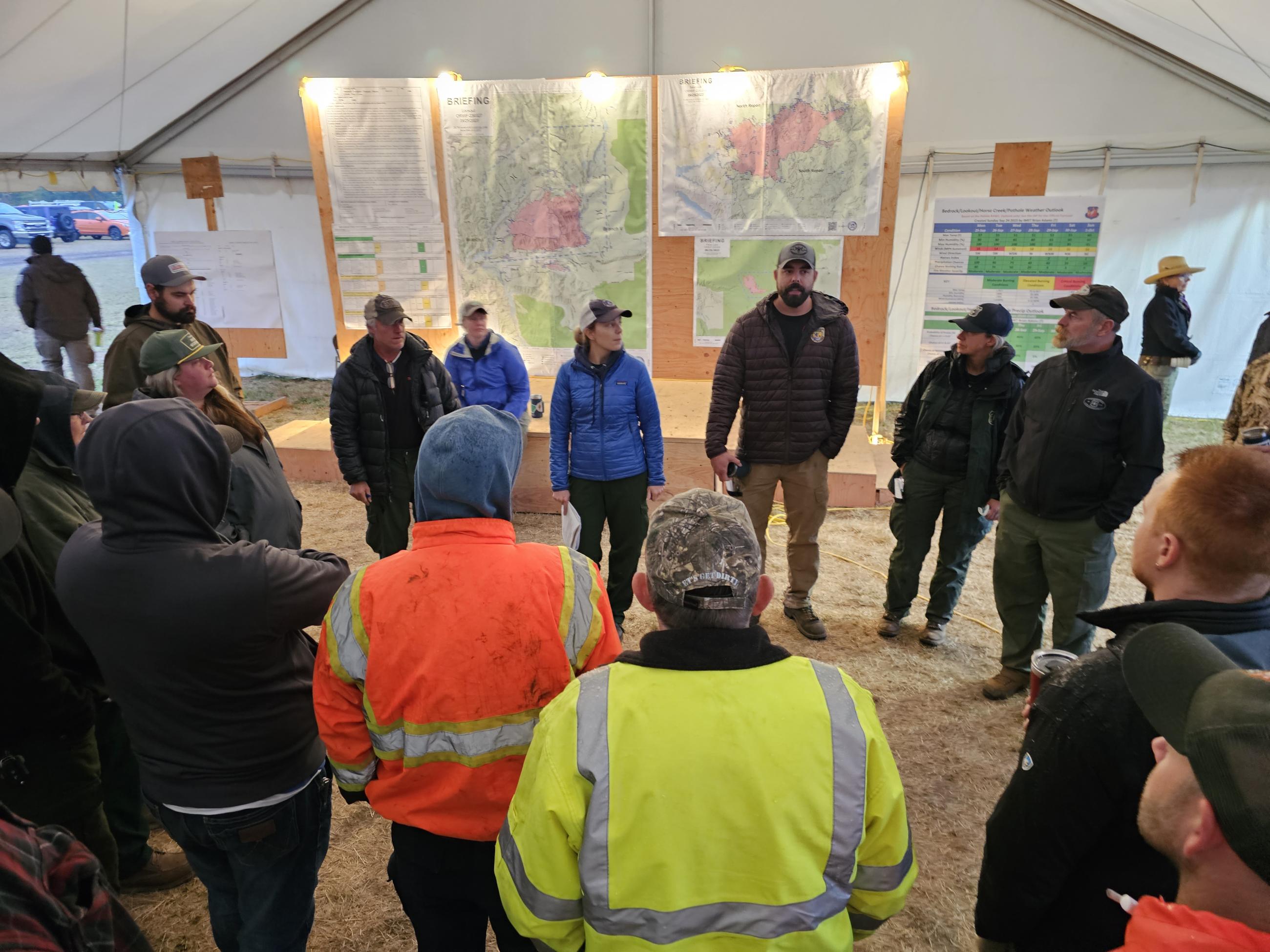
Behind the scenes - Incident Command Post
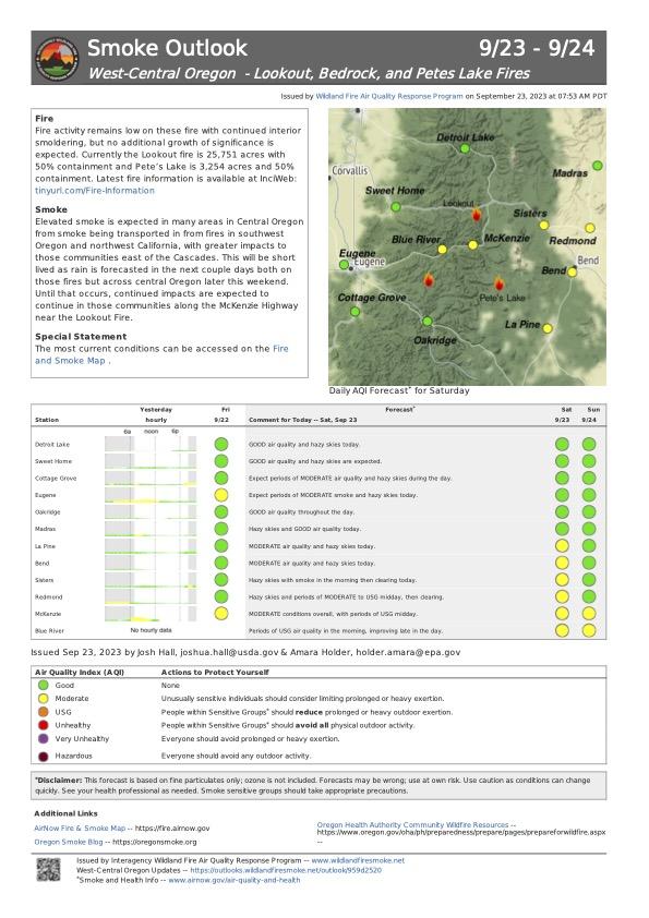
Smoke Outlook Saturday Sept 23 2023
Forest Service News Release
Contact: Kassidy Kern
(541) 588-2000
https://www.fs.usda.gov/willamette/
Emergency response team shares soil-burn severity map and research from Bedrock Fire
Satellite images, field surveys provide a picture
of burned areas and soil stability
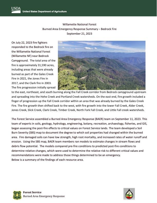
Springfield, Ore. – Sept. 21, 2023 — An Emergency Response Team of resource specialists who began field surveys and an assessment of the Bedrock Fire burned areas earlier this month released its findings on Sept. 21. The Bedrock Fire, which started July 22, 2023, has covered 31,590 acres on the Willamette National Forest and adjacent private lands, and continues to smolder within established containment lines.
The Burned Area Emergency Response (BAER) Team is an Emergency Response program aimed at managing imminent, unacceptable risks to human life, safety and property, as well as threats to critical natural and cultural resources, from post-wildfire conditions. BAER Team members closely assess watersheds for post-fire, rain-related impact, such as flooding, debris-flow potential, and increased soil erosion. The team then recommends time-critical treatments to complete before the first damaging storm event.
The BAER Team soil-burn severity map for the Bedrock Fire identifies 10.8 percent of the fire area as having high burn severity and 28.5 percent with moderate burn severity. The remaining 60.7 percent has low or very low burn severity.
"Where the Bedrock Fire moved through the burn scars of the 2017 Jones and 2021 Gales fires, those reburned areas show more high and moderate soil-burn severity. Other areas that burned outside of those fire scars have only small pockets of high and moderate severity," said BAER Team Leader John Chatel.
Using the burn severity map, BAER scientists calculate expected increases in stream flows and run models to identify areas prone to erosion or landslides. "Those are the areas we focus on for protecting values at risk," Chatel said. Values at risk include public safety, roads, buildings, recreation sites, trails, historic and cultural sites, and more.
A review of the high soil-burn severity areas showed no ground cover, powdery grey or white ash present and no roots under the surface, which reduces the integrity of the soil. The higher the burn severity, the less likely soil is able to absorb rainfall, increasing surface runoff and risk of erosion, debris flows and flooding. In areas of moderate burn severity, specialists observed the majority of pre-fire ground cover (litter and ground fuels) was lost, but some charred material remained with gray ash. In those areas, soil structure remained intact, and in general fine roots and their structures remained, which assists in regrowth of hardwoods, plants and fungi.
A soil-burn severity map was initially generated using satellite imagery, then validated and adjusted by field surveys. The BAER Team observed that roots below the soil surface were generally unburned and providing soil stability, water was able to infiltrate into the soil at deeper depths, and soil structure was not degraded.
“There is still the risk of erosion on steeper, burned hillslopes that lack ground cover,” said Chatel. “These risks will remain for several years or longer in reburned areas until vegetation recovers.”
The BAER team is now prioritizing values at risk and developing a suite of emergency actions to mitigate potential hazards. BAER proposals focus on federal lands, but the team will be sharing information about identified hazards with other agencies later this week to help them plan for potential problems. The soil-burn severity map is available for viewing and downloading at: https://inciweb.wildfire.gov/incident-information/orwif-bedrock-fire.
For more information regarding this BAER assessment, please contact Kassidy Kern at (541) 588-2000 or Kassidy.kern@usda.gov.
Follow us on Facebook and Twitter @WillametteNF for more updates.
###