


Here’s more info on what we have going on!!
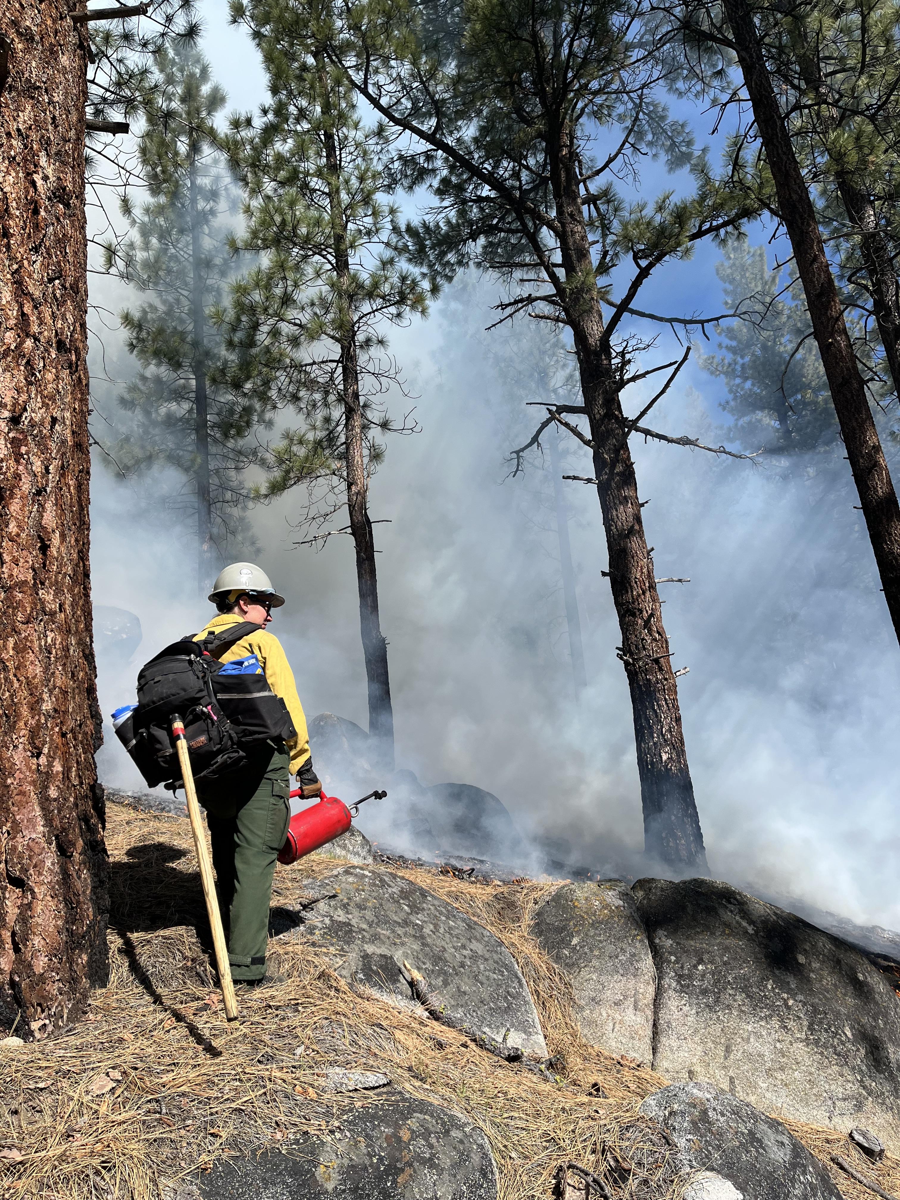
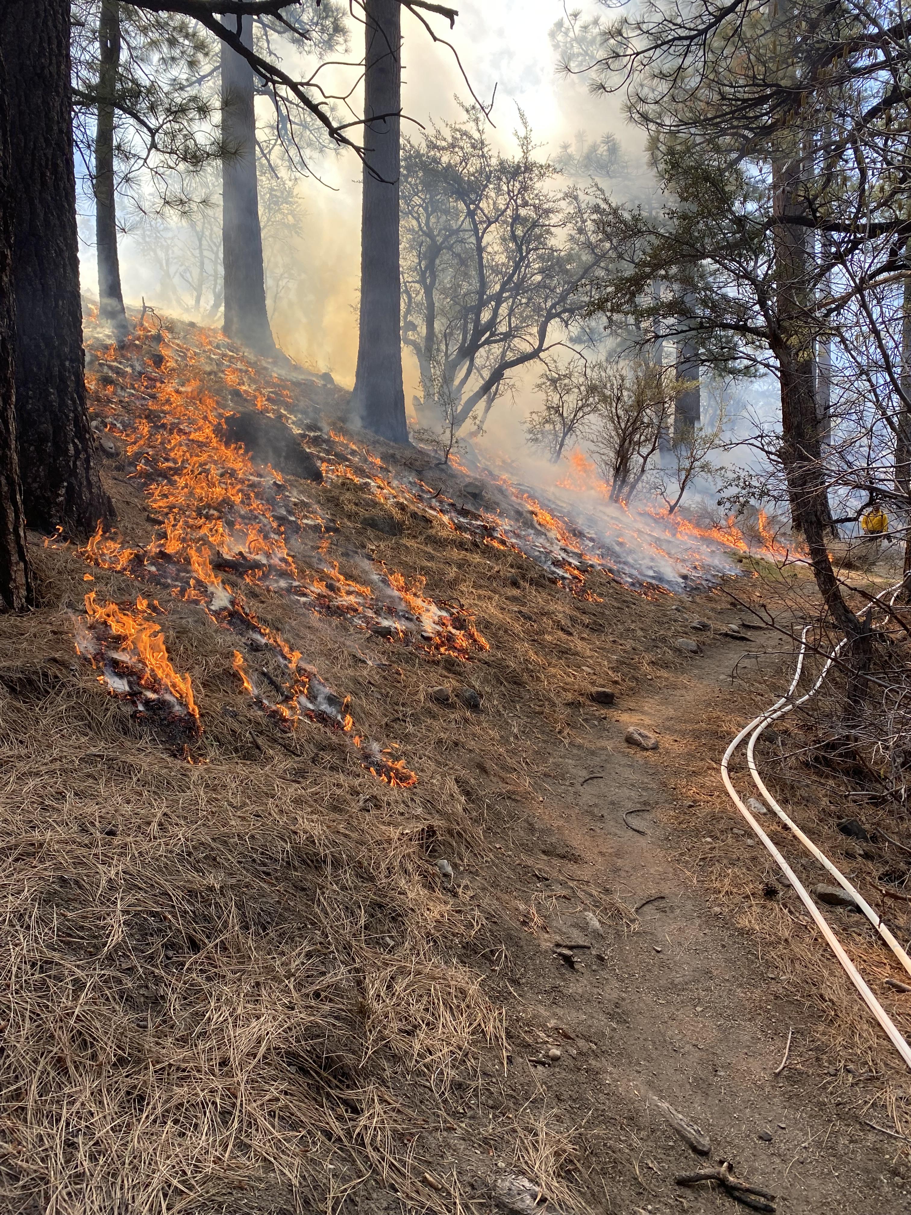
Prescribed Fire is an important tool for decreasing long-term fire risk to communities and restoring our forests, so they are more resilient to natural fire in the future. Prescribed fires, also known as prescribed burns, refer to the controlled application of fire by a team of fire experts under specified weather conditions to restore health to ecosystems that depend on fire.
CURRENT STATUS
- Sierra Front (Includes Carson and Bridgeport Ranger Districts) - 100 Personnel
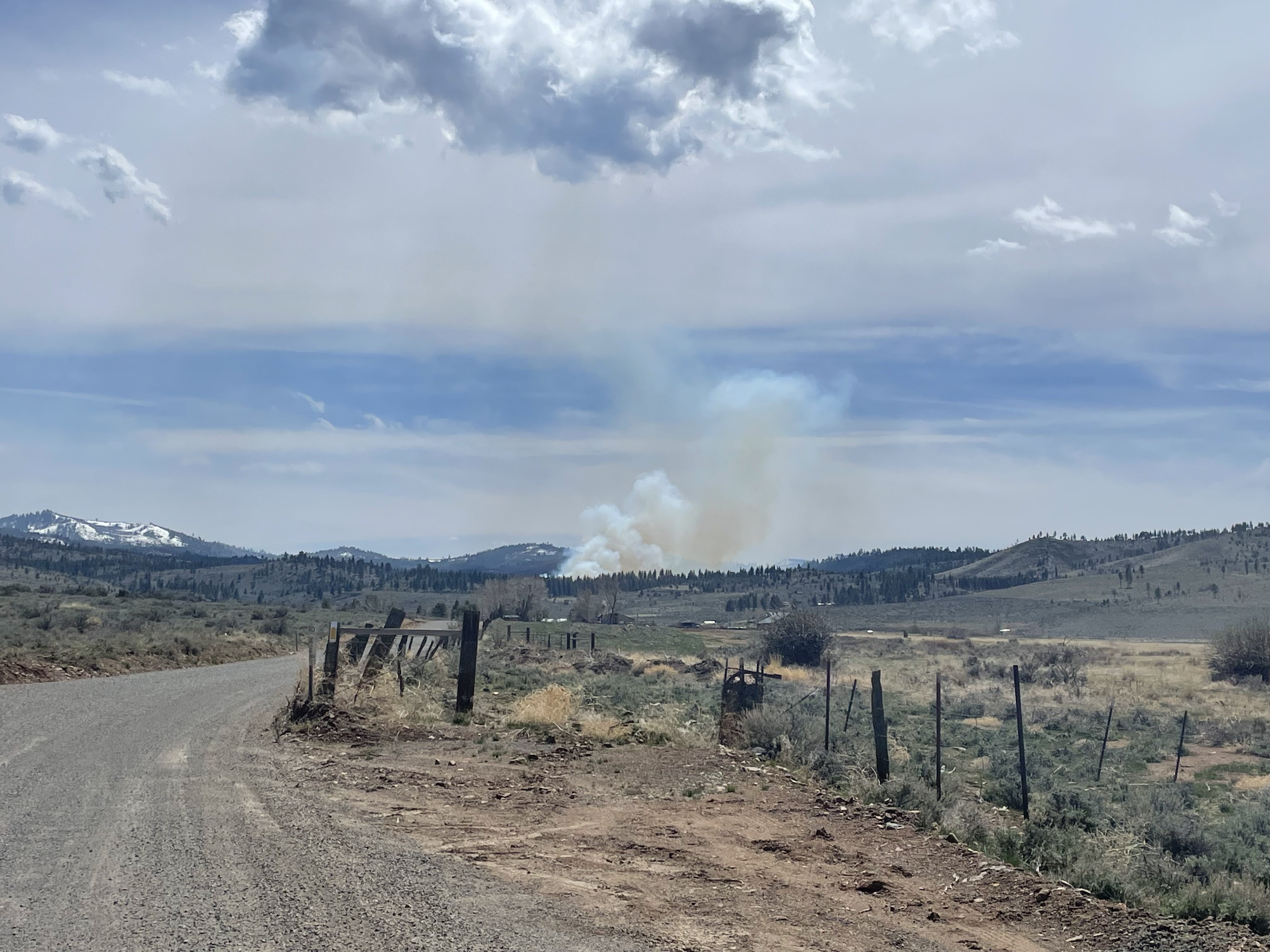
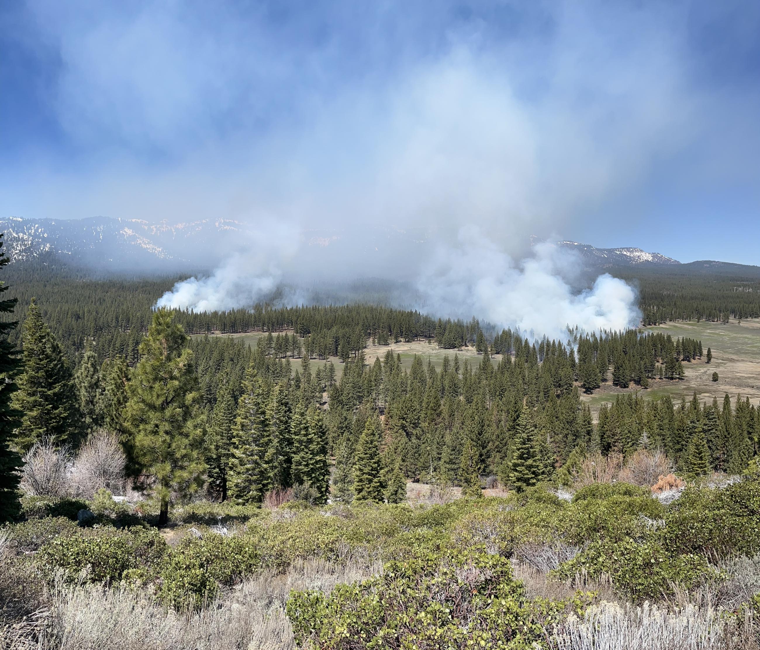
Reno, NV - Dog Valley RX (343 Acres) - Mopping up today. 302 total acres treated 4/20/24
- Mitchell Canyon RX - Mop up in progress. 91 acres treated 4/20/24
- White's Creek RX - Mop up in progress. 21 acres treated 4/19/24
Walker, CA - Mill Canyon RX - UPCOMING Burning planned for 4/23/24
- Spring Mountains National Recreation Area
Southern Nevada - Cole Springs RX - NO BURNING TODAY
McFarland RX - NO BURNING TODAY
- Mountain City, Ruby Mountains, Jarbidge Ranger Districts
Ruby Valley, NV - Ruby Lake Estates RX - NO BURNING TODAY
Please do not call 911. Local Fire Departments are continuously in communication with our #firefighters on the ground.
| Current as of | Sat, 04/20/2024 - 10:49 |
|---|---|
| Incident Time Zone | America/Los_Angeles |
| Incident Type | Prescribed Fire |
| Date of Origin | |
| Incident Commander | Multiple RXB2 Burn Bosses |
| Incident Description | The Sierra and Elko Fronts, a Wildfire Crisis Landscape Project on the Humboldt-Toiyabe National Forest, was selected to receive a historic investment of $53 million in 2023 to support the USDA Forest Service’s National Wildfire Crisis Strategy. Landscapes were chosen based on the potential for wildfire to affect nearby communities, critical infrastructure, public water sources, and Tribal lands. The Forest was positioned well given current efforts around the Nevada Shared Stewardship Agreement, an interagency collaboration effort that has previously identified wildfire crisis landscapes across the state based on similar threats to public and private land. The wildfire crisis landscape projects are a large-scale effort to reduce the risk of wildfire to protect at-risk communities and critical infrastructure, while also increasing the landscape’s resilience and ability to survive the effects of changing climates and other stressors such as insects, disease, and invasive species. Selected wildfire crisis landscapes will advance the goals of the Wildfire Crisis Strategy by utilizing the best available science and strategic network of hazardous fuels and vegetation treatments to reduce wildfire risk. Wildfire crisis landscapes, also known as firesheds, are large forested and rangeland areas where communities, infrastructure, and natural resources are at the highest risk to be impacted by wildfire. Examples include critical watersheds and wildlife habitats; utility, energy, and mining facilities; transportation corridors; and recreation areas. Several high-risk fire sheds were identified on the Humboldt-Toiyabe National Forest, including the Sierra and Elko Fronts. Combined with the initial ten selected landscapes in 2022, the wildfire crisis landscape projects now span nearly 45 million acres across 137 of the 250 high-risk firesheds in the western United States. More than $930 million will be invested in 21 landscapes across 26.7 million acres. This work will mitigate risk to approximately 200 communities within these selected landscapes. |
| Coordinates |
39° 12' 18'' Latitude
--117° 25' 29
'' Longitude
|
| Total Personnel: | 100 |
|---|
| Remarks |
Coming Together to Address the Wildfire Crisis
Though the Forest Service has been working to manage the health of millions of acres of national forests across the American West for decades, the scale, pace and methods of work on the ground have not matched the need. With the support of our partners, states, Tribes and local communities, the Forest Service is collaboratively implementing this new strategy across jurisdictions and landownerships to protect communities, critical infrastructure, watersheds, habitats, and recreational areas. Overgrown forests, a warming climate, and a growing number of homes in the wildland-urban interface, following more than a century of rigorous fire suppression, have all contributed to what is now a full-blown wildfire and forest health crisis.
The Forest Service is working with partners to focus fuels and forest health treatments more strategically and at the scale of the problem, using the best available science as a guide. Through investments from the Bipartisan Infrastructure Law and the Inflation Reduction Act, wildfire risk reduction work will occur on 21 landscapes across 134 firesheds in the western U.S. where projects |
|---|