
Highlighted Activity
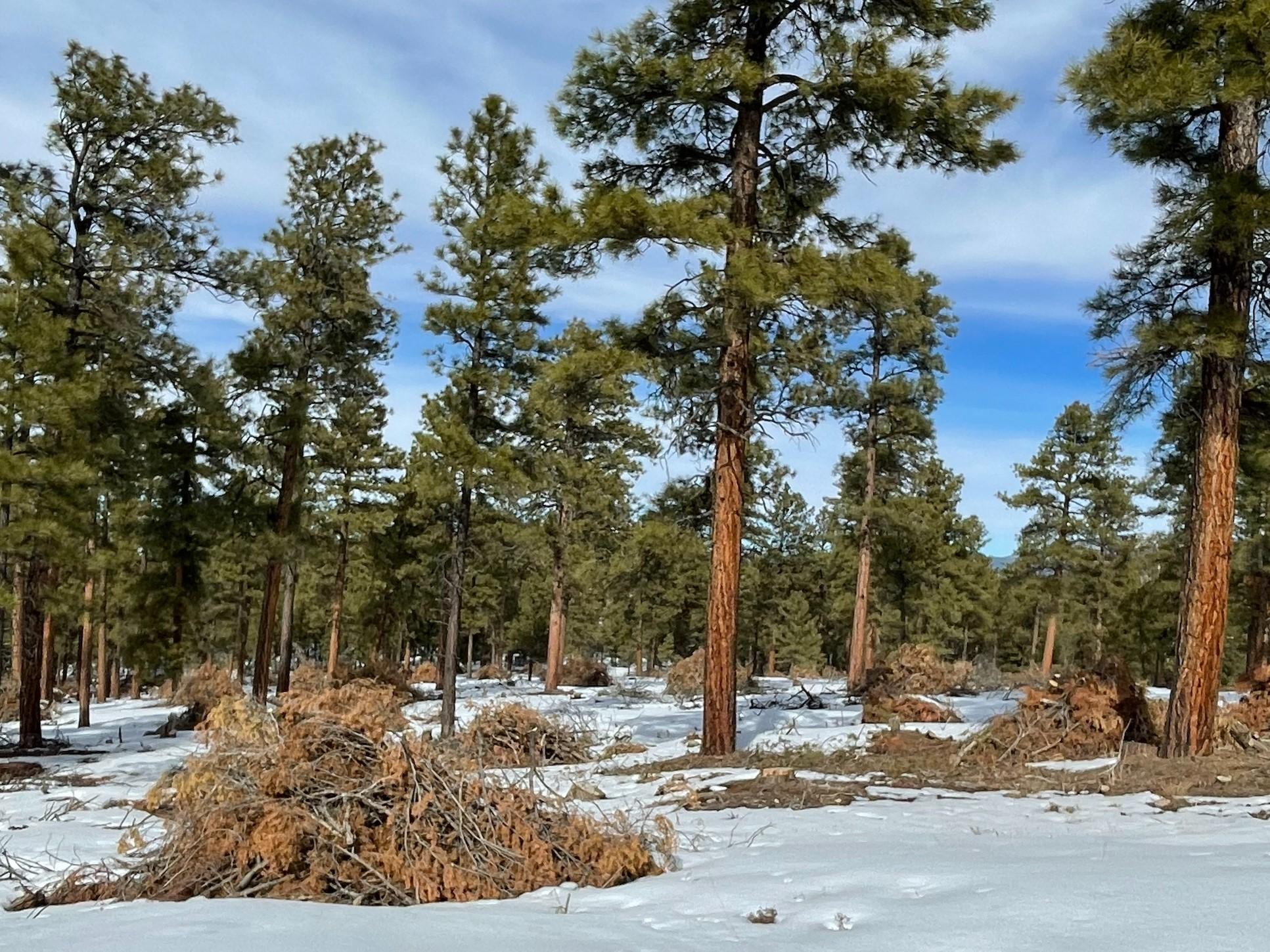
Fire crews are planning to burn piles located in three locations near the communities of El Valle, Trampas and Ojo Sarco (see map). They were created from 200 acres of thinning as part of the Rio Trampas Project, which aims to restore forest health and resiliency next to communities while providing fuelwood and other wood product opportunities to residents and visitors.
The ponderosa forests around the communities are fire-dependent and must undergo fire disturbance on a regular basis to maintain resiliency. Discussions and collaboratives about improving the Embudo Creek Watershed, where these piles are located, have been occurring for years. Most recently, the Tres Rios Watershed Coalition was formed to identify priority areas for restoration.
The project is part of the national Wildfire Crisis Strategy. As an area with some of the most at-risk firesheds in the nation, the strategy identified a 1.5-million-acre area in and around the Carson National Forest as the Enchanted Circle Landscape. Forest Service staff and partners across the region are working to protect communities and natural resources by restoring healthy, resilient, fire-adapted forests using mechanical thinning and returning beneficial fire in these landscapes.
| Current as of | Fri, 04/05/2024 - 17:18 |
|---|---|
| Incident Time Zone | America/Denver |
| Incident Type | Prescribed Fire |
| Location | Near the communities of El Valle, Ojo Sarco and Trampas |
| Coordinates |
36° 07' 51'' Latitude
-105° 45' 34
'' Longitude
|