Click on the following words to see related information.
News Maps Closures Photos Videos Announcements
At 2:00 pm on Tuesday, September 5th, the Spring Creek Fire reached 100% containment. The Spring Creek Fire transitioned from a Type 3 to a Type 4 incident on Monday, July 17th. This change to a smaller organization was possible due to the successful suppression efforts; additional containment; and decreased fire behavior and intensity.
The Spring Creek Fire started on Saturday, June 24. Firefighters and aircraft worked to keep the fire to about 200 acres on a mix of private and Bureau of Land Management-administered land. Hot, dry, windy conditions aligned with terrain on June 26, causing the fire to make a significant run growing to more than 2,500 acres. Rocky Mountain Area Complex Incident Management Team Two assumed command of the fire June 28.
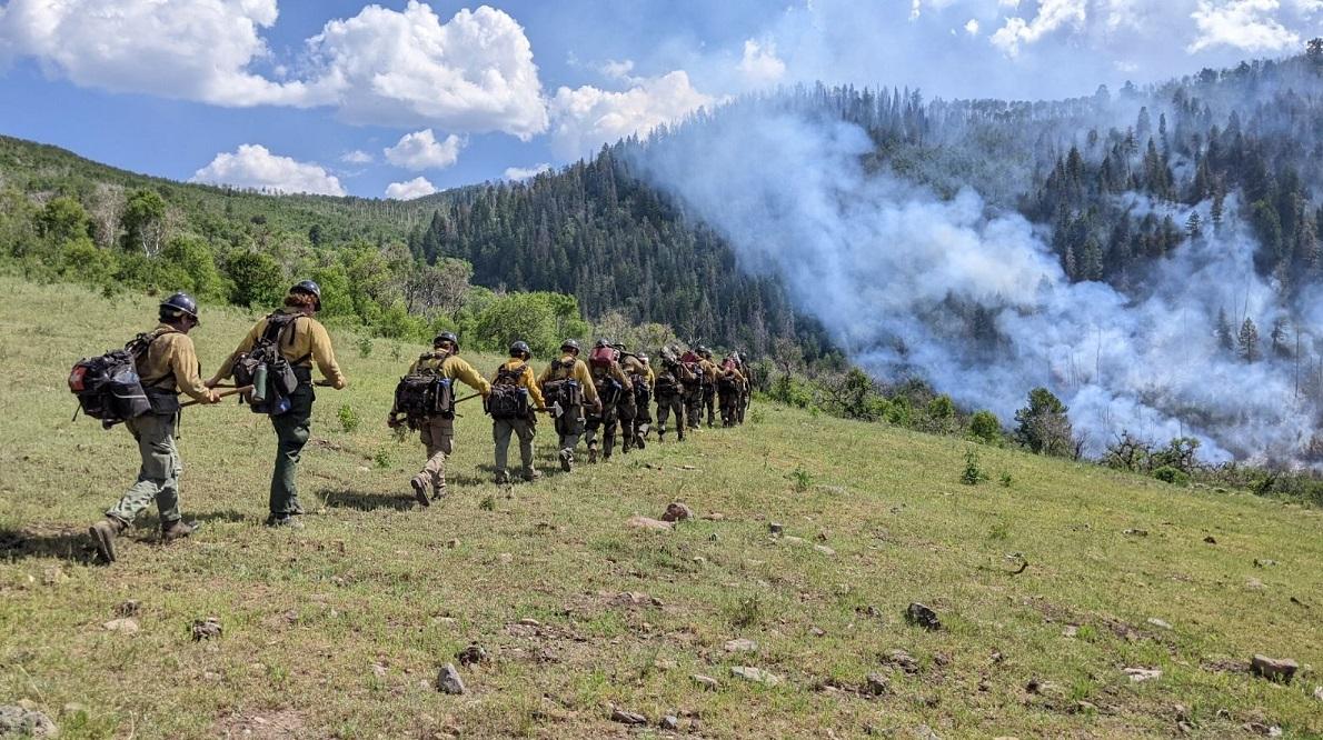
The varied fuels and extreme terrain presented substantial challenges to firefighters during containment efforts. Crews used a variety of tactics including direct handline against the black fire’s edge and indirect tactics where terrain would not allow firefighters to safely engage.
Firefighters are now mopping up hotspots, providing suppression repair to disturbed firelines and patrolling firelines. Personnel are removing equipment no longer needed on the fireline. Smoke will be intermittently present for some time both from the smoldering fire and from exposed oil shale.
Spring Creek Road and High Mesa Road are open to restricted traffic only. Please avoid these areas if possible and drive with caution with increase in fire personnel on the roadway.
Closures: There are no closure orders in place at this time.
Evacuations: There are no evacuations at this time. Residents are encouraged to register with Garfield County's emergency notification system at: Garfield County Emergency Communications Authority (garco911.com). All evacuation orders will be conducted through the Sheriff's office. Call recorded message line at 970-981-3401 for current evacuation information
Temporary Flight Restrictions: There is a TFR (FDC 03/0215) in place for air space over the Spring Creek Fire to reduce impacts to fire aviation operators. Fire aviation response is halted or delayed if an unauthorized aircraft enters the TFR. Temporary flight restrictions also apply to unmanned aircraft system (UAS) or drones. If you fly, we can’t!
Additional information can also be found on the Upper Colorado River Interagency Fire Management Unit Facebook page and older information on the Spring Creek Fire Facebook page Additional information may be found on the Bureau of Land Management website or by calling 970-200-6195.
| Current as of | Tue, 09/19/2023 - 11:53 |
|---|---|
| Incident Type | Wildfire |
| Cause | Undetermined |
| Date of Origin | |
| Location | 5 miles southwest of Parachute, CO |
| Coordinates |
39° 23' 27'' Latitude
-108° 4' 27
'' Longitude
|
| Total Personnel: | 28 |
|---|---|
| Size | 3,256 Acres |
| Percent of Perimeter Contained | 100% |
| Estimated Containment Date | 10/1/2023 |
| Remarks |
Anticipated containment date is due to fire location in very difficult terrain likely requiring a season ending event to reach full containment.
|
|---|

 InciWeb