
The Deep Fire was started on August 15, 2023 by lightning. It is located in the Trinity Alps Wilderness west of Siligo Meadow.
| Current as of | Mon, 09/11/2023 - 21:31 |
|---|---|
| Incident Type | Wildfire |
| Cause | Lightning |
| Date of Origin | |
| Location | 10 Miles north of Weaverville, CA in Stuart Fork Drainage |
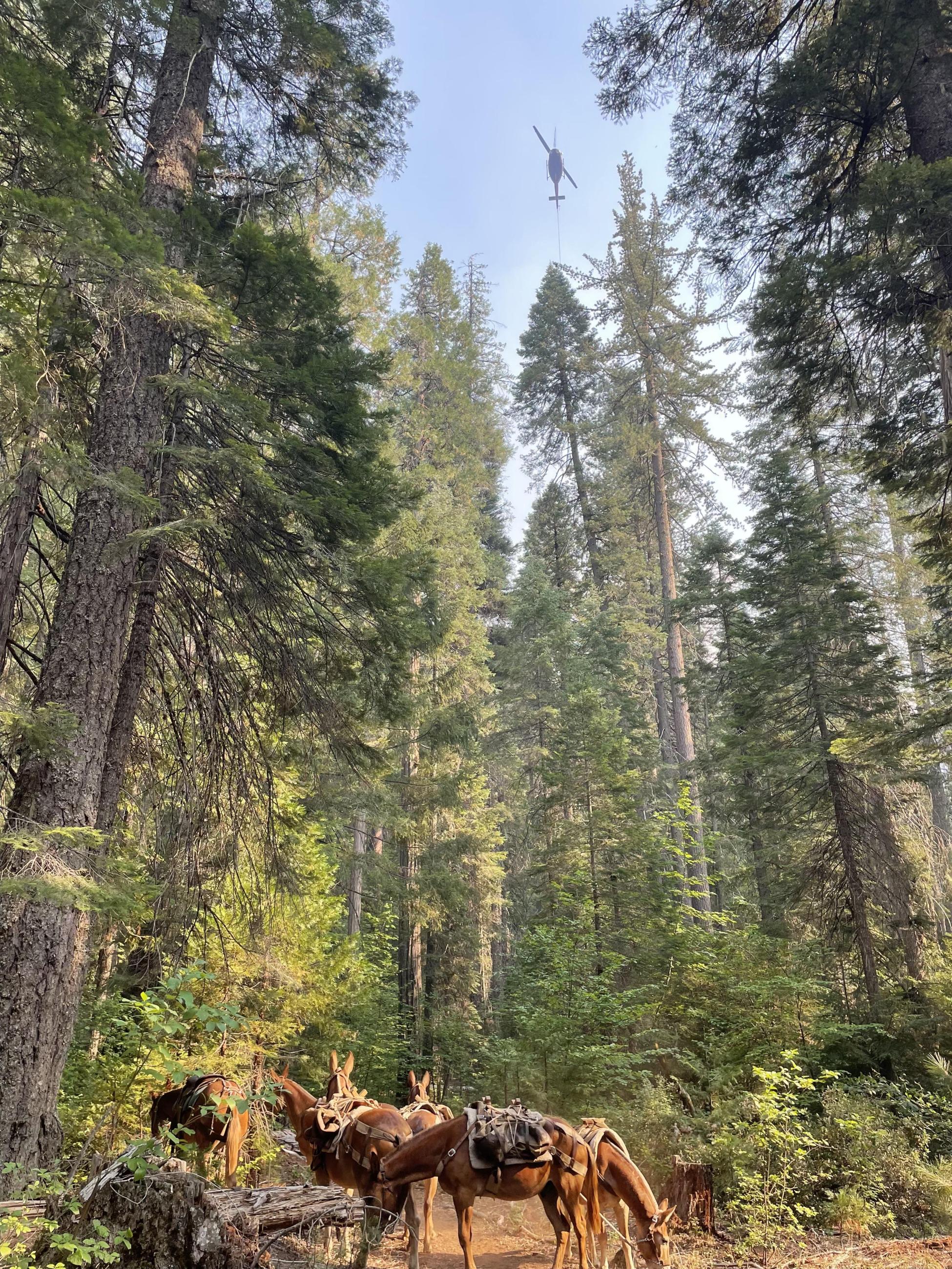
| Incident Commander | Shasta-Trinity National Forest, Trinity River Management Unit (TRMU), Weaverville CA Incident Commander: Scott Stephenson NVIMT 5 assumed command of the fire on Saturday, September 1st, 2023 at 0600. |
| Coordinates |
40° 56' 9.96'' Latitude
-122° 55' 37.8408
'' Longitude
|
| Total Personnel: | 95 |
|---|---|
| Size | 4,198 Acres |
| Percent of Perimeter Contained | 87% |
| Estimated Containment Date | 10/15/2023 |
| Fuels Involved | Fuels in the area are primarily composed of Shrub (SH7) Timber Litter (TLS) and Timber with Understory (TUS). Primary tree species include mixed sizes of Douglas Fir, Ponderosa Pine, and incense cedar. Heavy fuel concentrations are common throughout all areas. A transition of the fuels/vegetation from closed timber (less than 4000') to open timber, and a shrub component (greater than 4000') Douglas-fir canopy heights range from 60-100 ft height. |
| Significant Events | Fire area had good humidity recovery last night. The RHs may drop to low to mid 20s in the valleys and sun exposed south slopes. Smoldering and minimal creeping was the dominant fire behavior, with isolated incidents of backing fire through surface fuels. South facing and other slopes with sun will continue to dry out and the topmost needles may soon be available to burn. Roll outs from fallen burned snags and logs may result in reburn but movement will be minimal. |
| Planned Actions |
Div A: Patrol and mop up all potential heat that may threaten control features. Remove and backhaul flagging and signage. Continue suppression repair along Stuart Fork Trail. Div M: Patrol from air. Utilize aircraft for bucket work as needed. Div Z: Patrol and mop |
|---|---|
| Projected Incident Activity |
12 hours: |
| Remarks |
Intel from Divisions and Planning OPS confirmed an increase in contaiment to 87%. In item 49, Resources, the fire modules are listed under Support. The REMS has no category in the 209 so they were placed under ALS Ambulance--(1) REMS with 4 people. |
| Weather Concerns | Seasonably mild and dry conditions will continue into the middle of the upcoming work week. In addition, no rain is expected during this period. Otherwise, winds will become locally gusty out of the west-northwest through east-west oriented valleys and gaps during the afternoon, while sheltered areas will generally experience light and variable winds. Relative humidities have been dropping at the Trinity Center RAWS--RHs have dropped from 32% on 9/06/23 to 16% on 9/10/23. This may be a concern for sun exposed fuels where smoldering and creeping is present. |
|---|