Incident Media Photographs
Could not determine your location.
Photographs Gallery
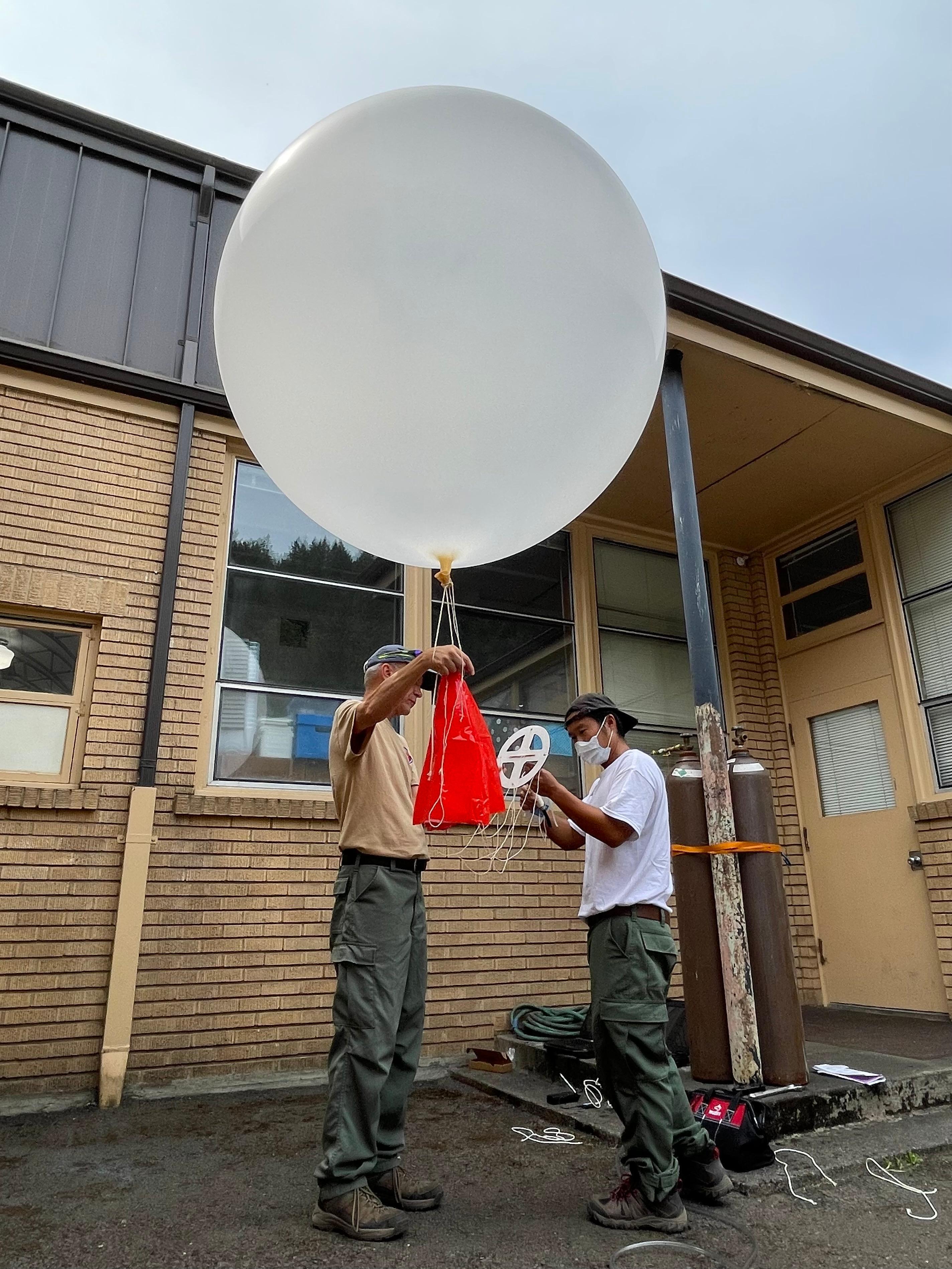
Incident Meteorologists like Genki Kino launch weather balloons on the Cedar Creek Fire to collect site-specific data that may be difficult to get. The instrument is tracked by a radio receiver and transmits data that includes temperature.
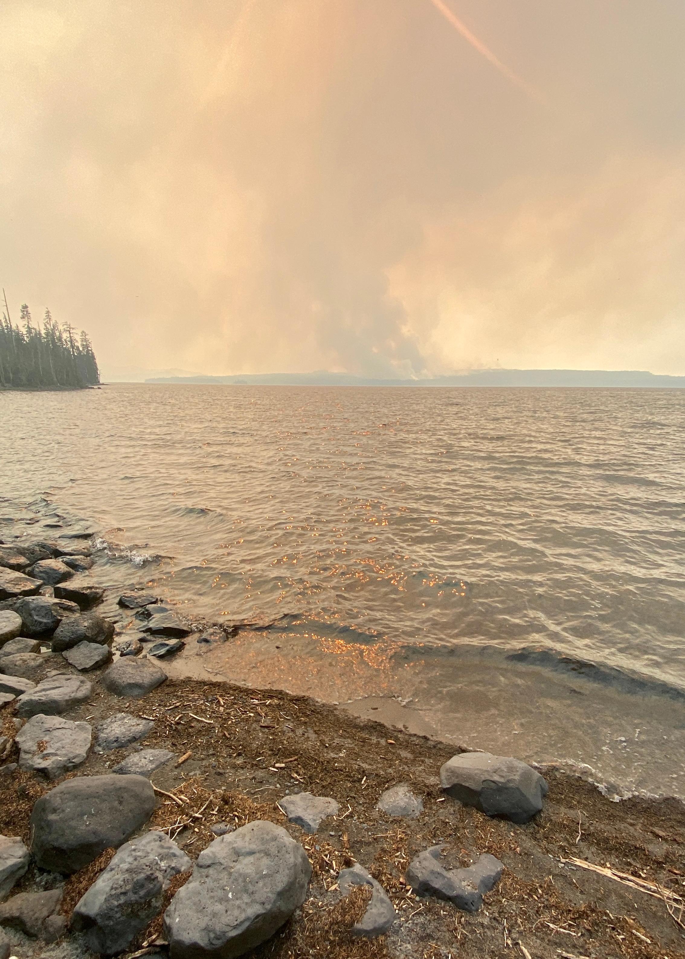
Smoke column above Waldo Lake
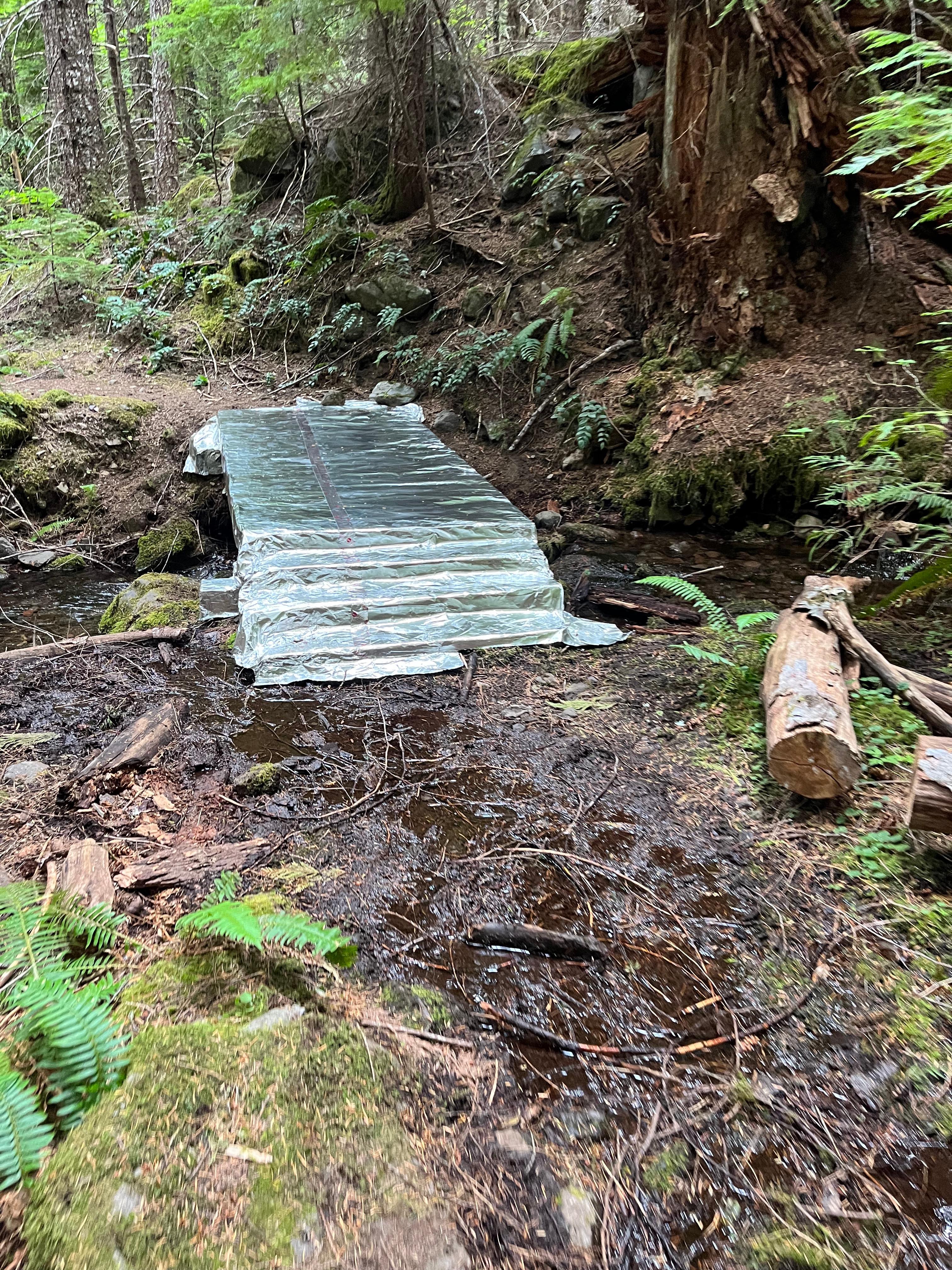
A foot bridge on the Black Creek Trail has been wrapped in protective foil. Photo by Galice Wildland Fire Module.
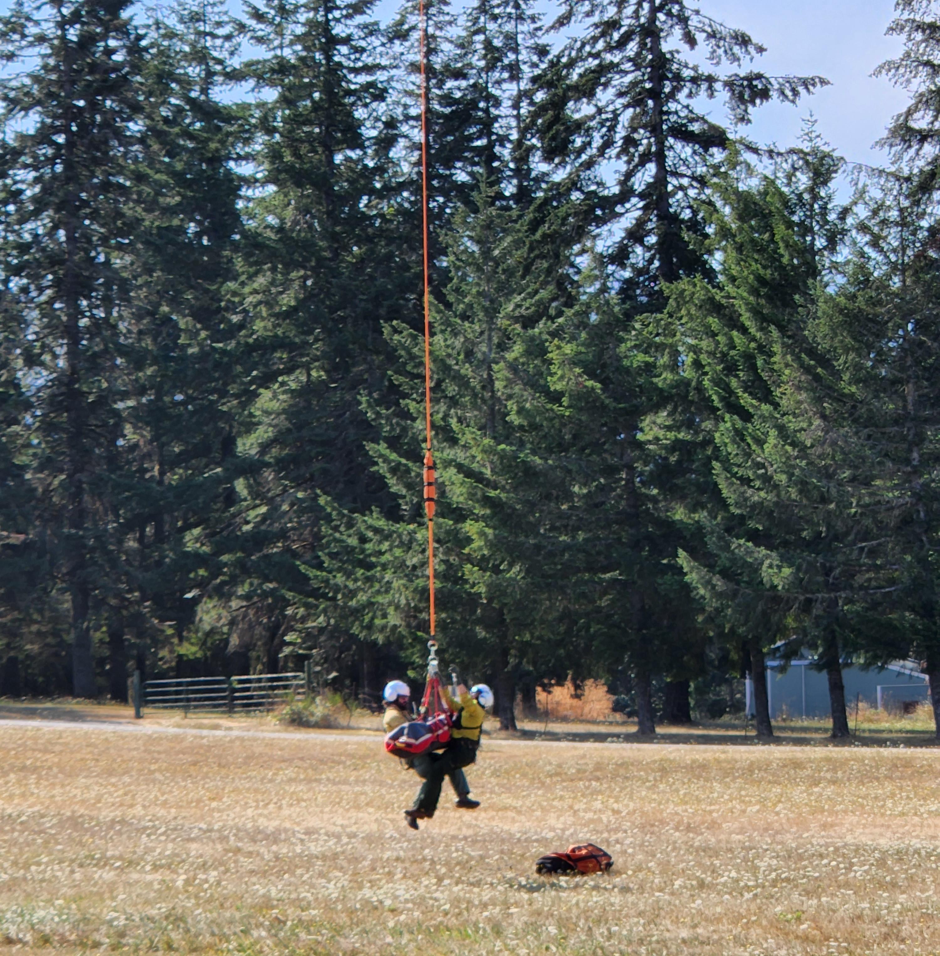
Medical personnel and helicopter crews practice extrication techniques on August 19.
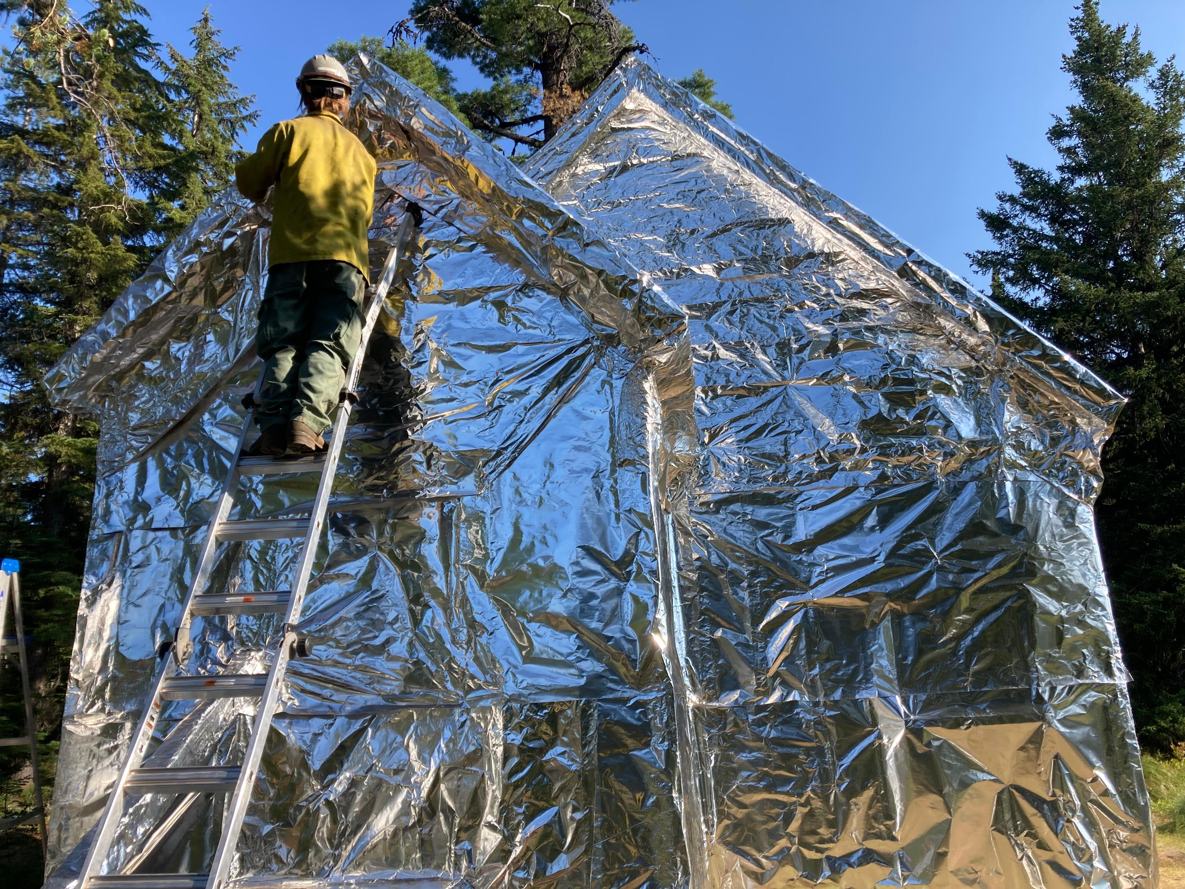
The Taylor Burn Guard Station was wrapped with protective foil on August 16th.
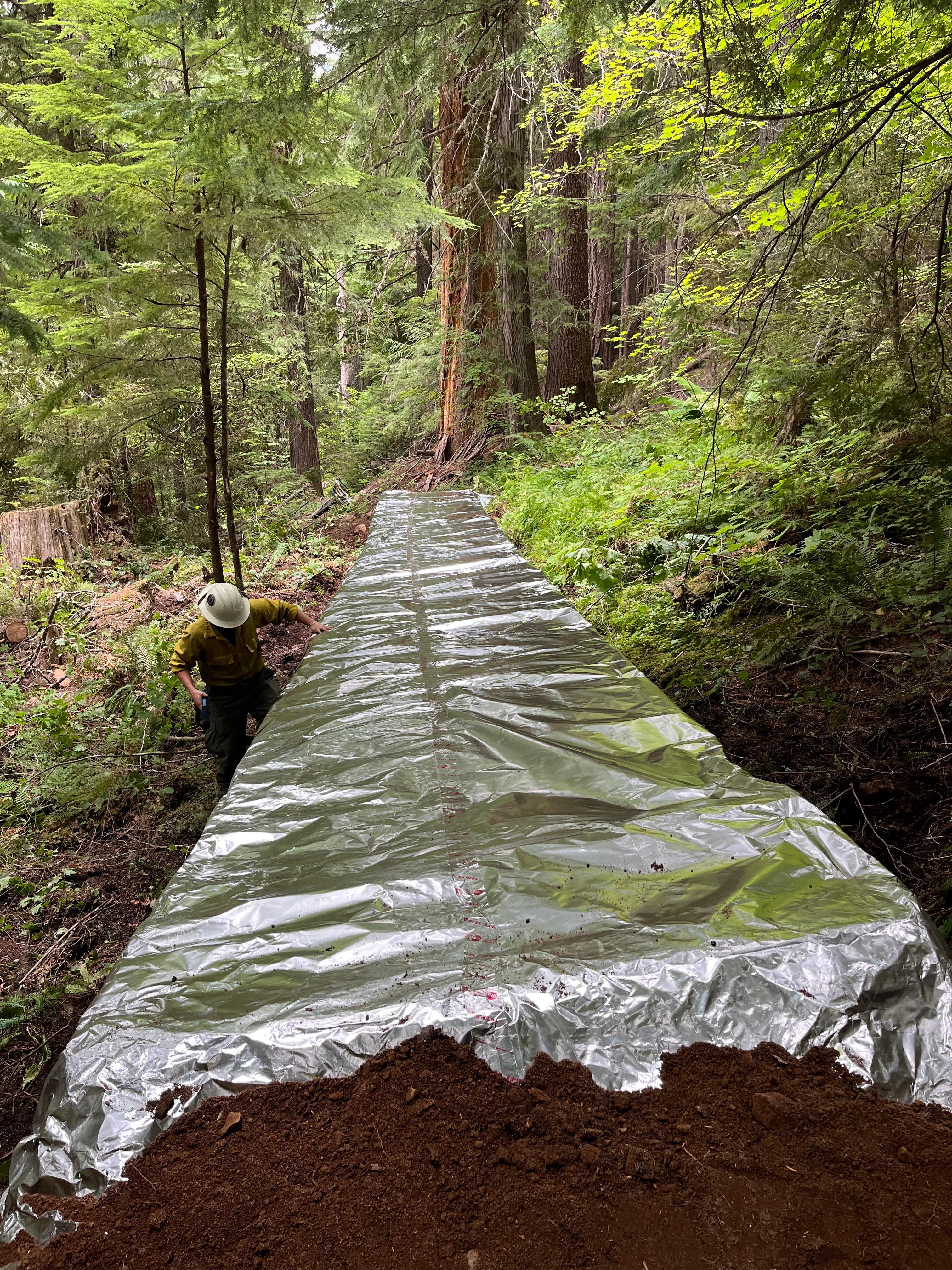
Bridges and other wooden structures on the Black Creek Trail have been wrapped in protective foil. Photo by Galice Wildland Fire Module.
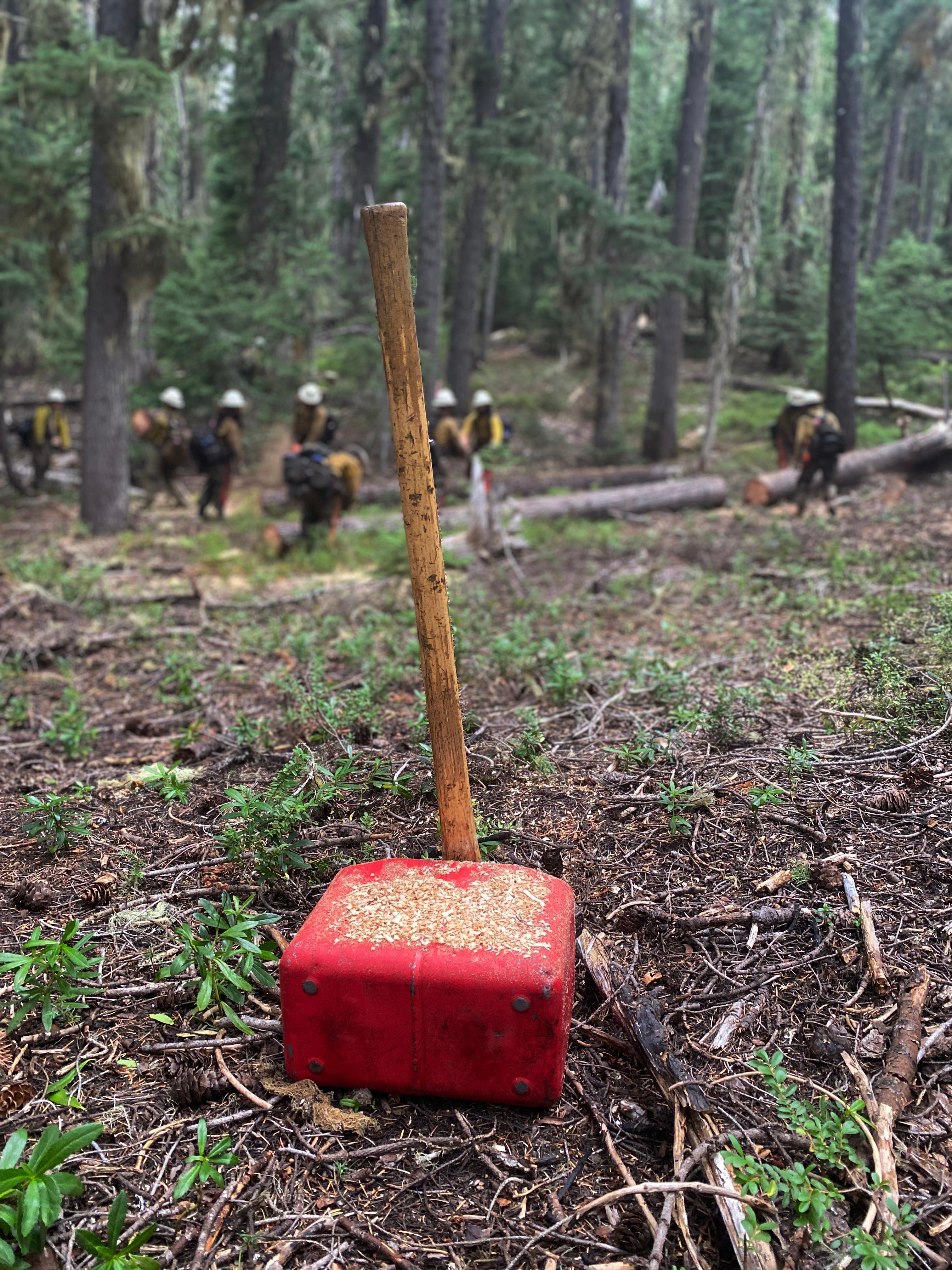
The Sacramento Hotshots from New Mexico worked to thin vegetation along the Lower Fuji Mountain Trail. Photo by Public Information Officer Jacob Welch
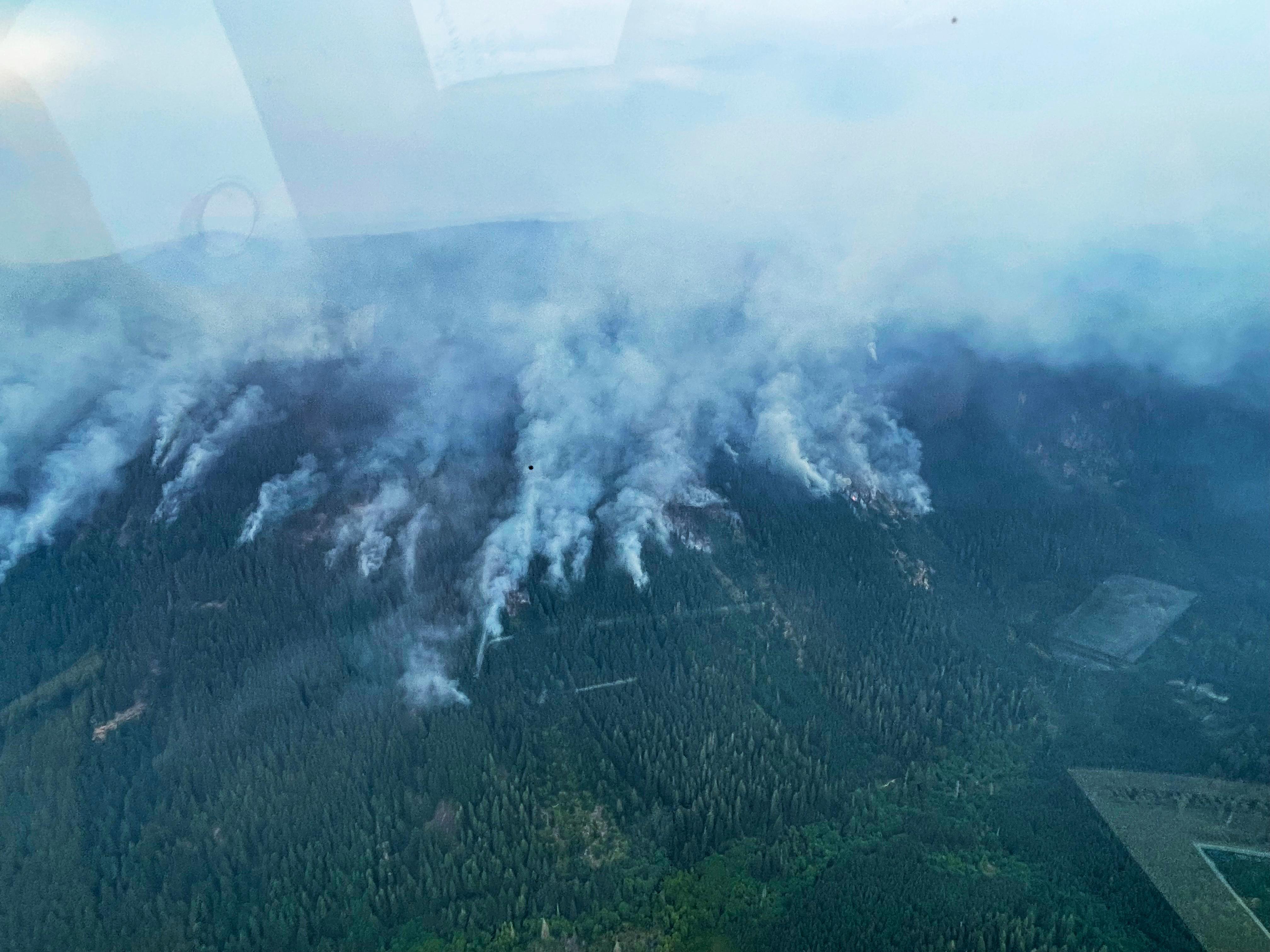
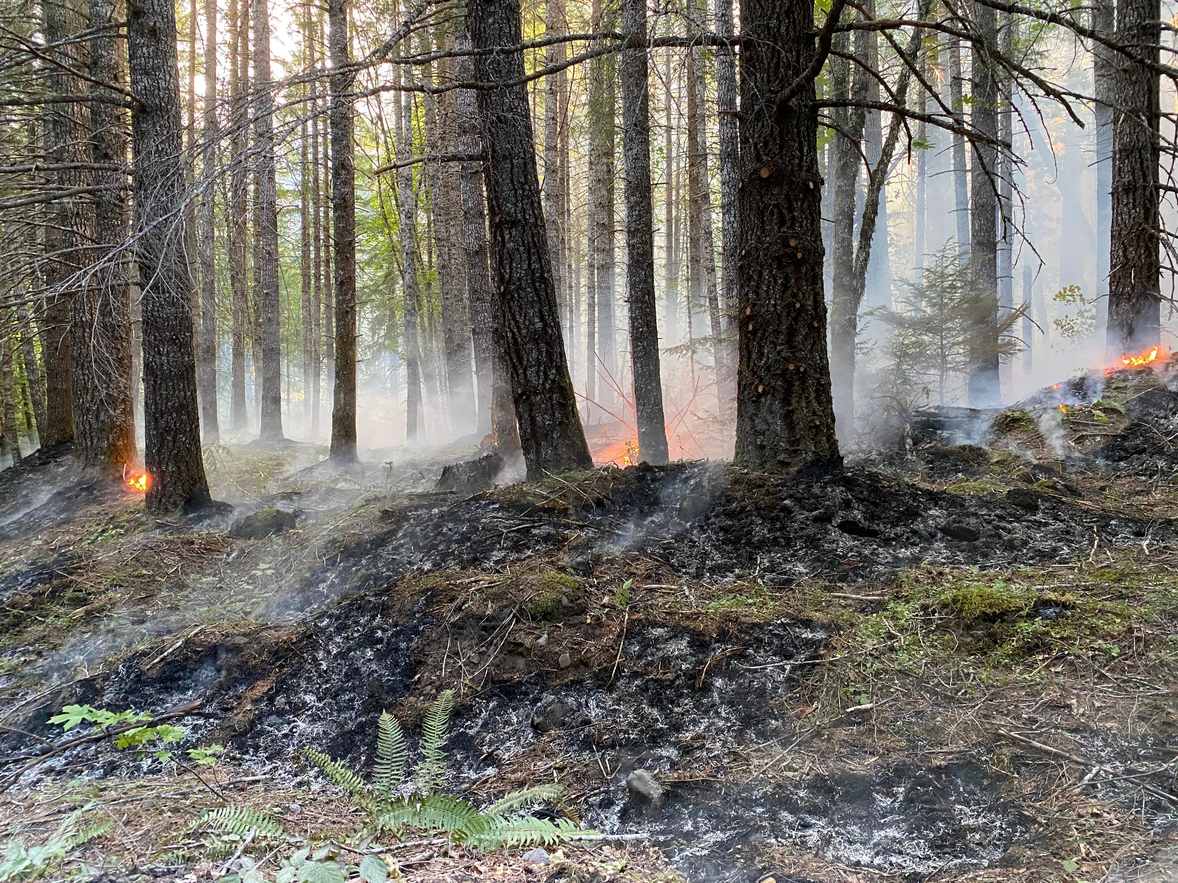
The fire slowly backs down a slope on August 18.
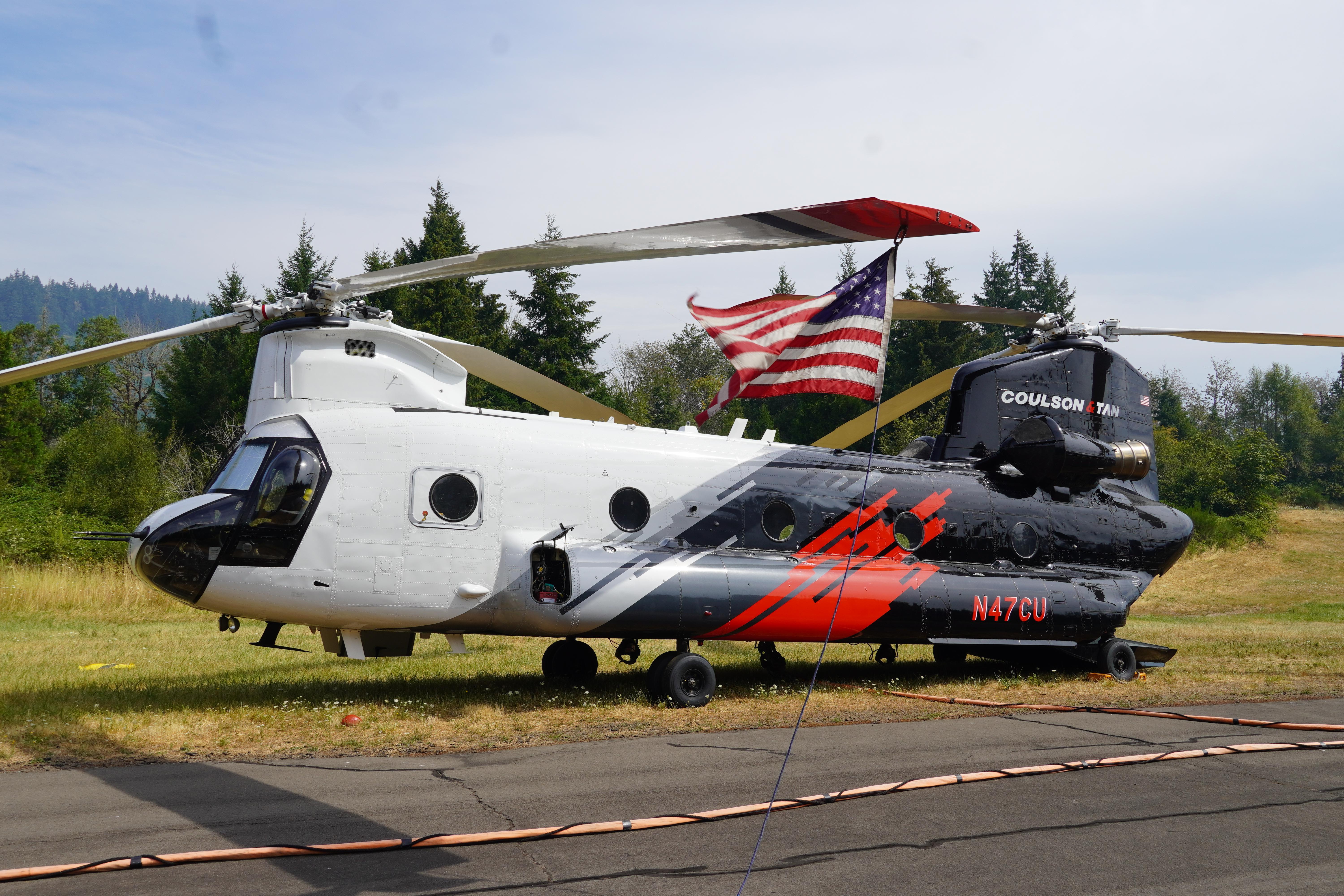
A contracted heavy lift helicopter is one of the machines available to firefighters in the Oakridge area.
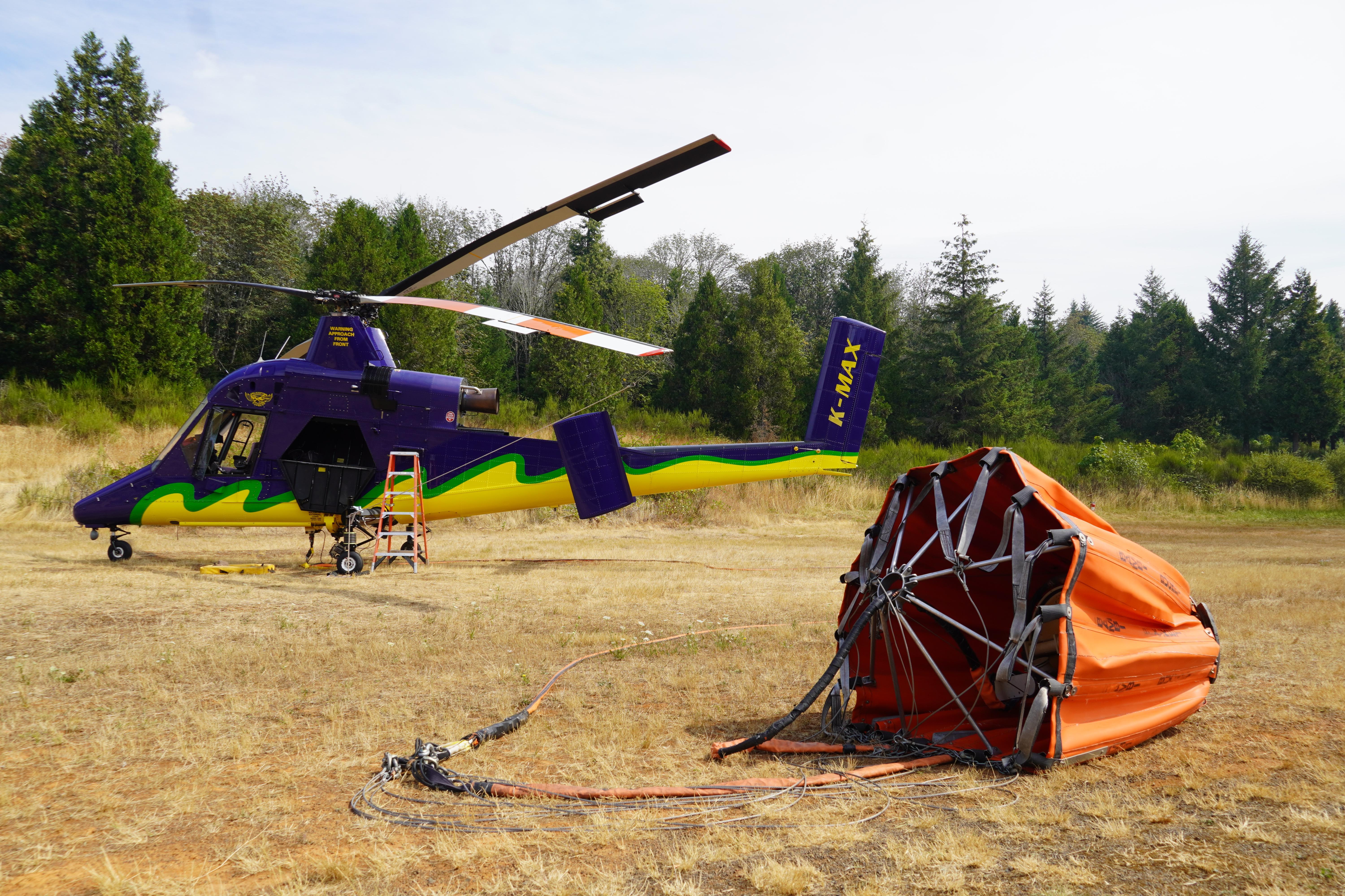
A KMAX heavy helicopter is one of several helicopters working out of a base at the Oakridge Airport.
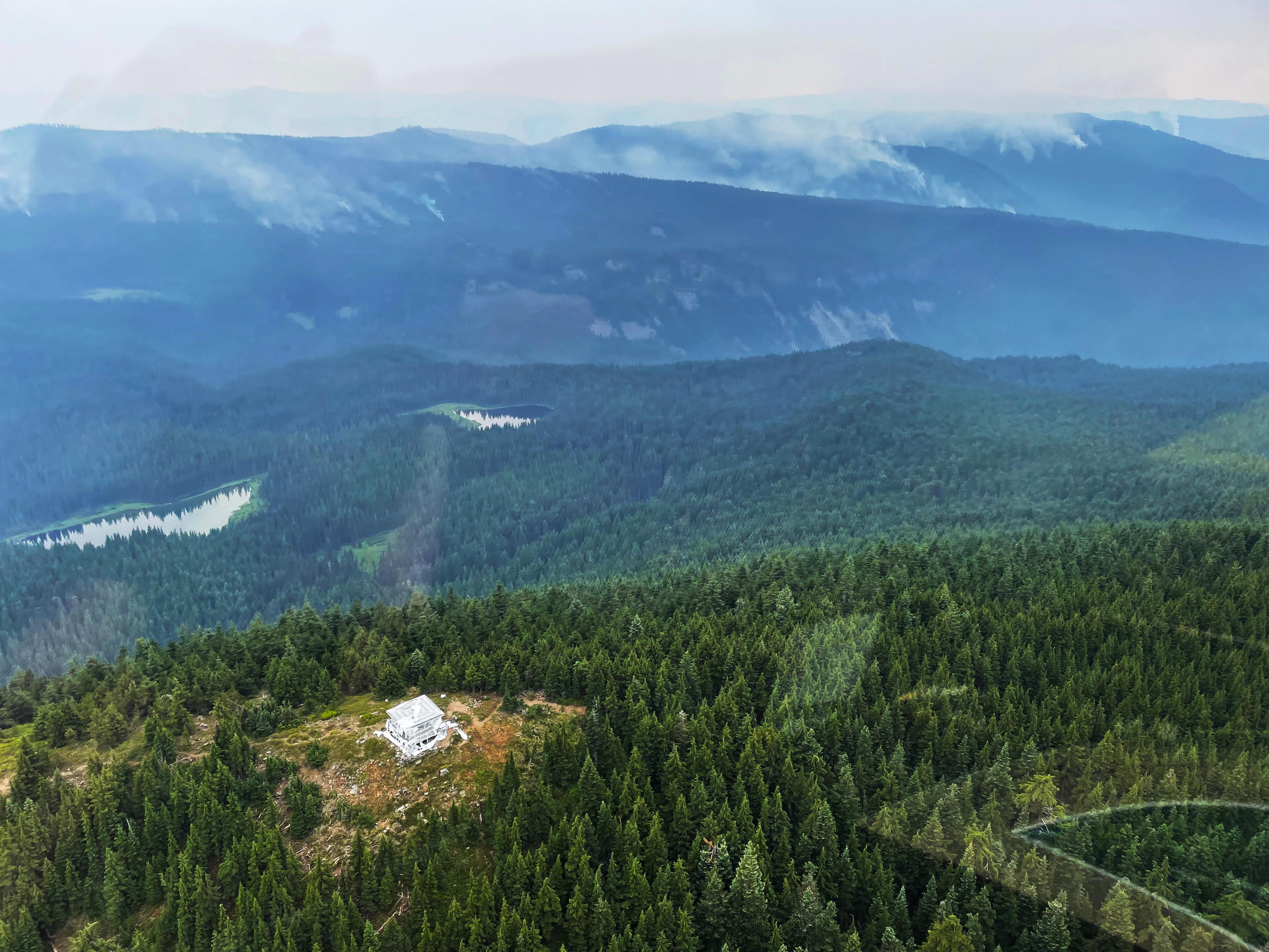
The Waldo Mountain Guard Station, wrapped in protective foil, as seen from the air on Aug 18, 2022

 InciWeb
