U.S. flag

An official website of the United States government

Here's how you know

Incident Media Maps

Zoom to your location
Reset map zoom and position

Could not determine your location.

Mill Creek 2 Fire

Share this incident

Unit Information

15 Burnett Court 
Durango, 
81301 
15 Burnett Court 
Durango, 
81301 

Incident Contacts

  • Public Information
    Email:
    2023.TrailSprings@firenet.gov
    Phone:
    ‪(970) 426-5370‬
    Hours:
    8a.m. - 8p.m.

Maps Gallery

Image options: [ Full Size ] - [ PDF ]

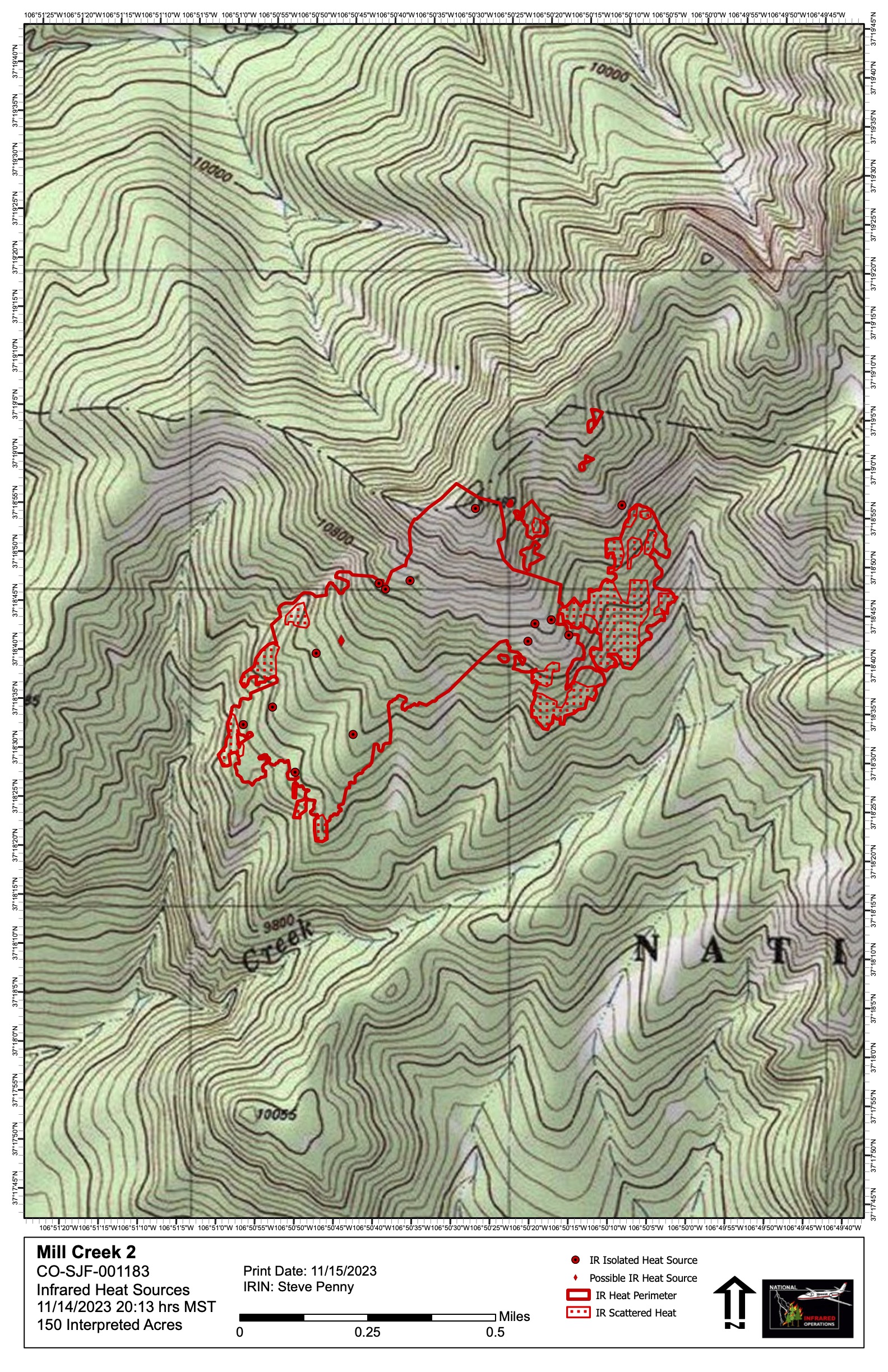
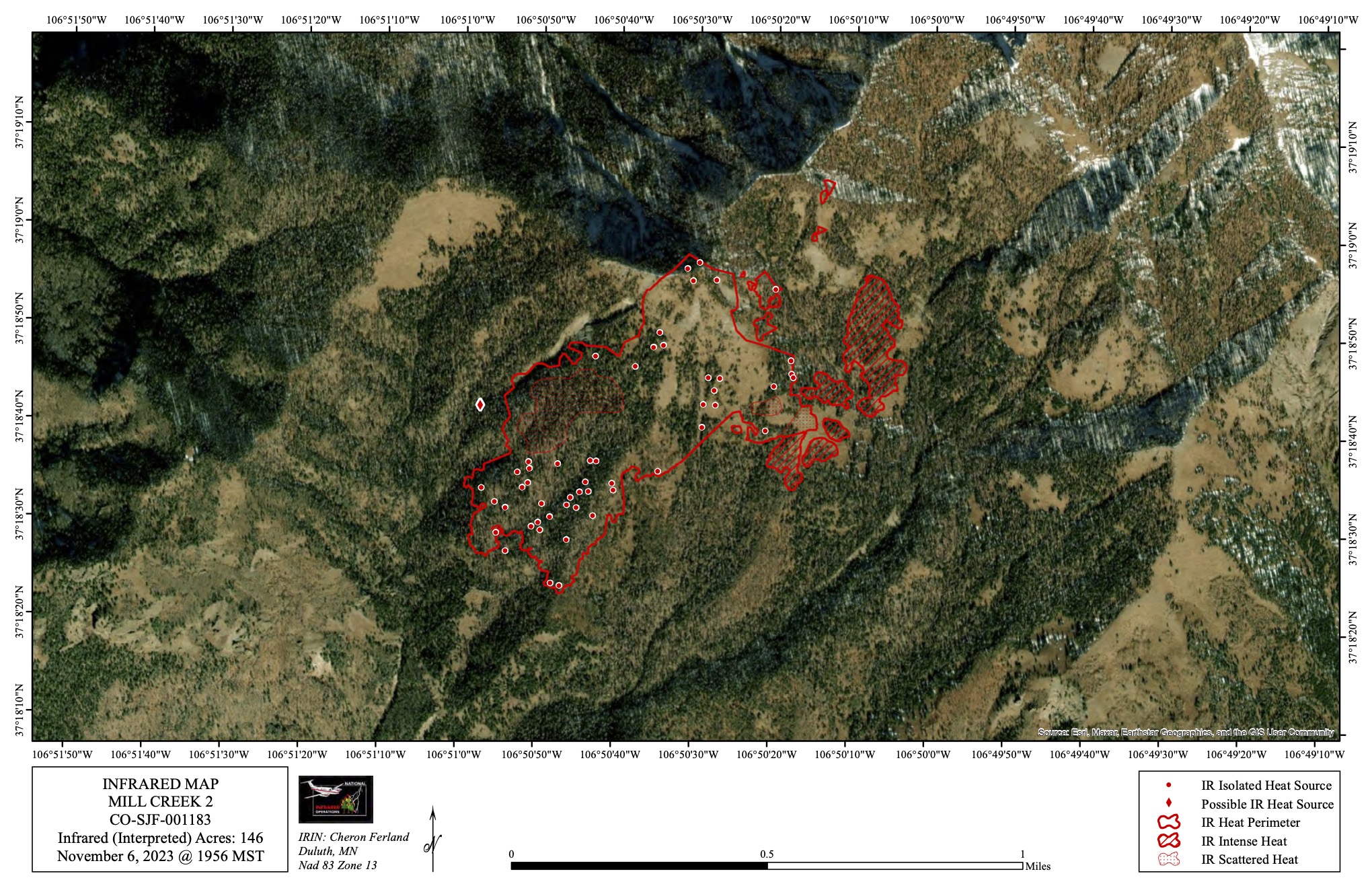
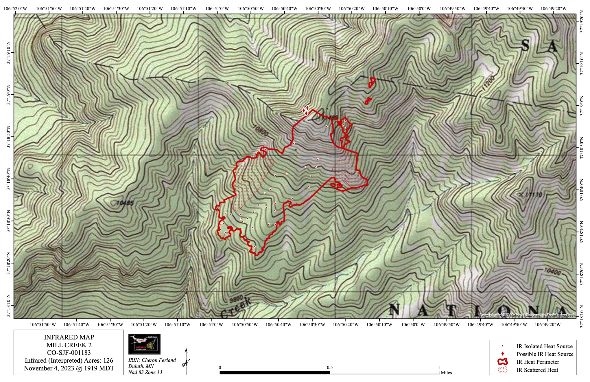
Map showing fire area and locations where heat has been detected, Nov 15.  Satellite infrared technololgy is used to create these maps.


Image options: [ Full Size ] - [ PDF ]

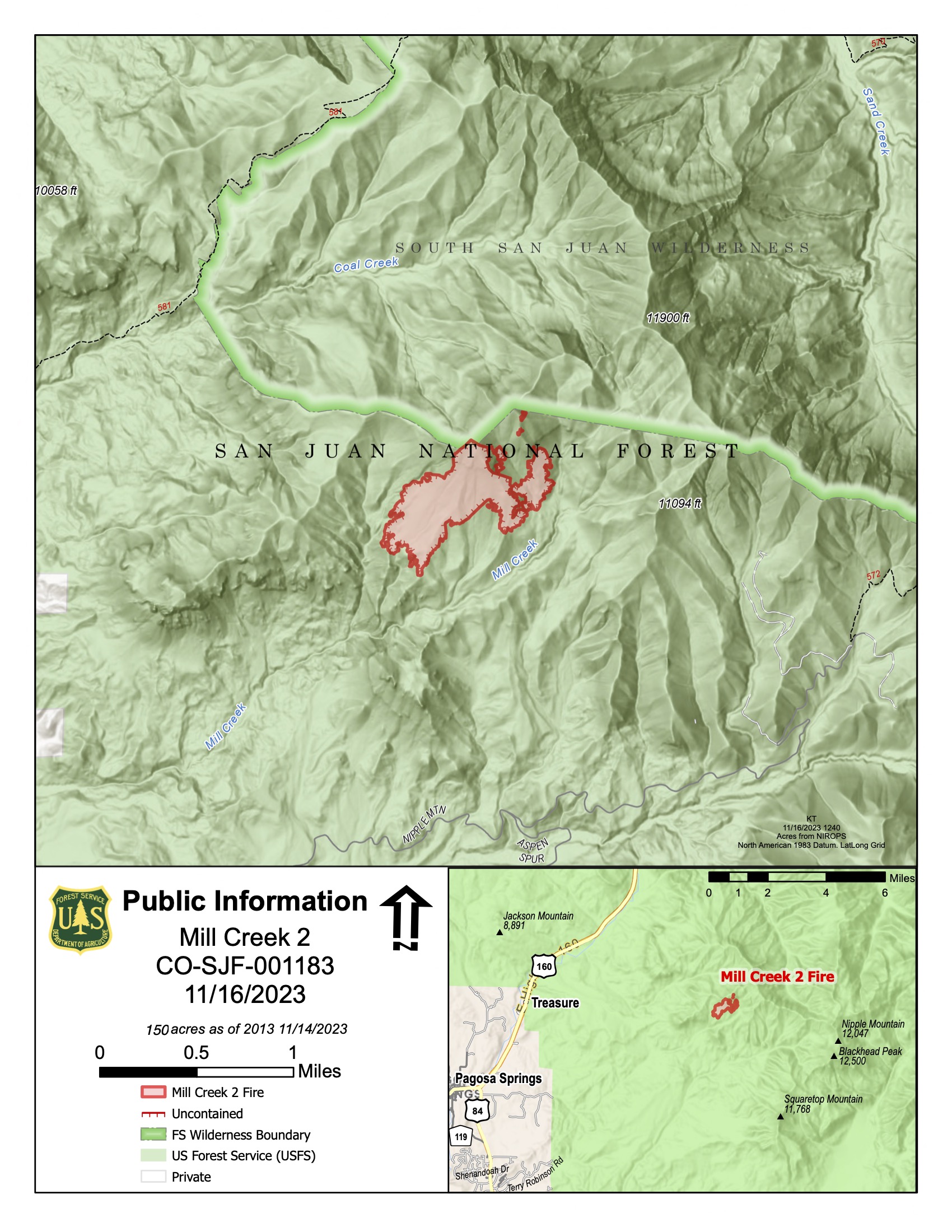
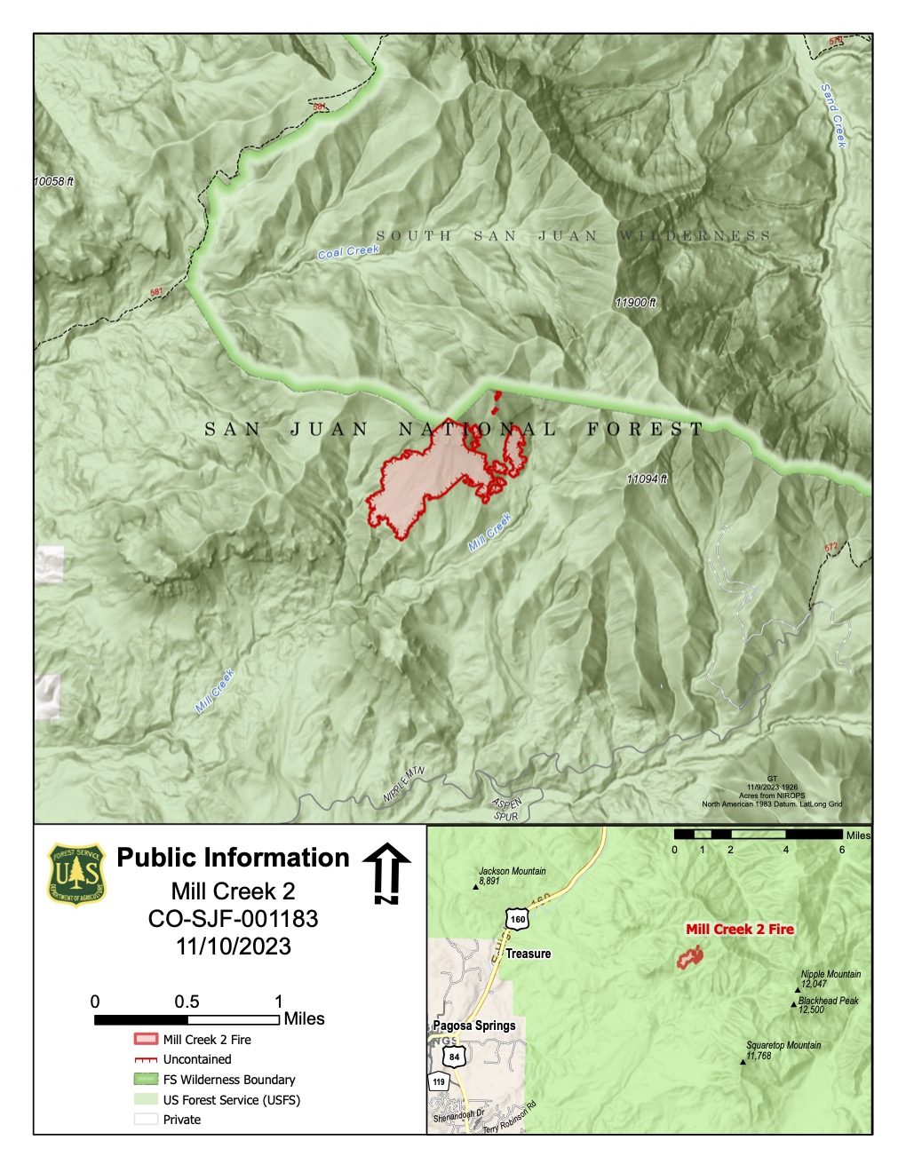
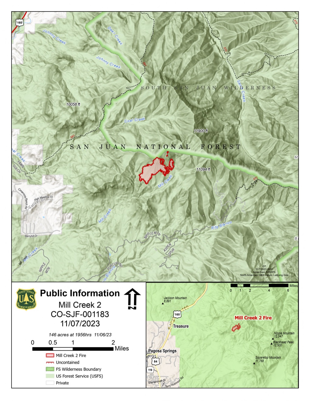
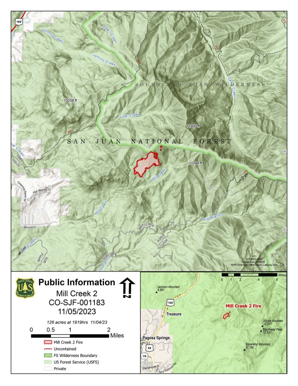
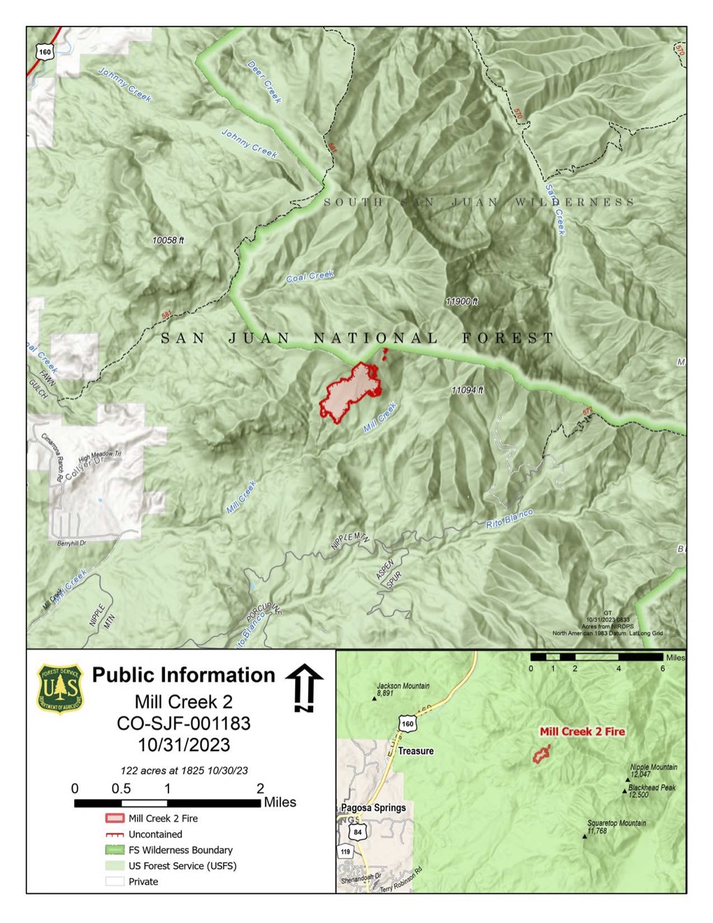
Map showing Mill Creek 2 Fire area

Image options: [ Full Size ] - [ PDF ]

Image options: [ Full Size ] - [ PDF ]

Image options: [ Full Size ] - [ PDF ]

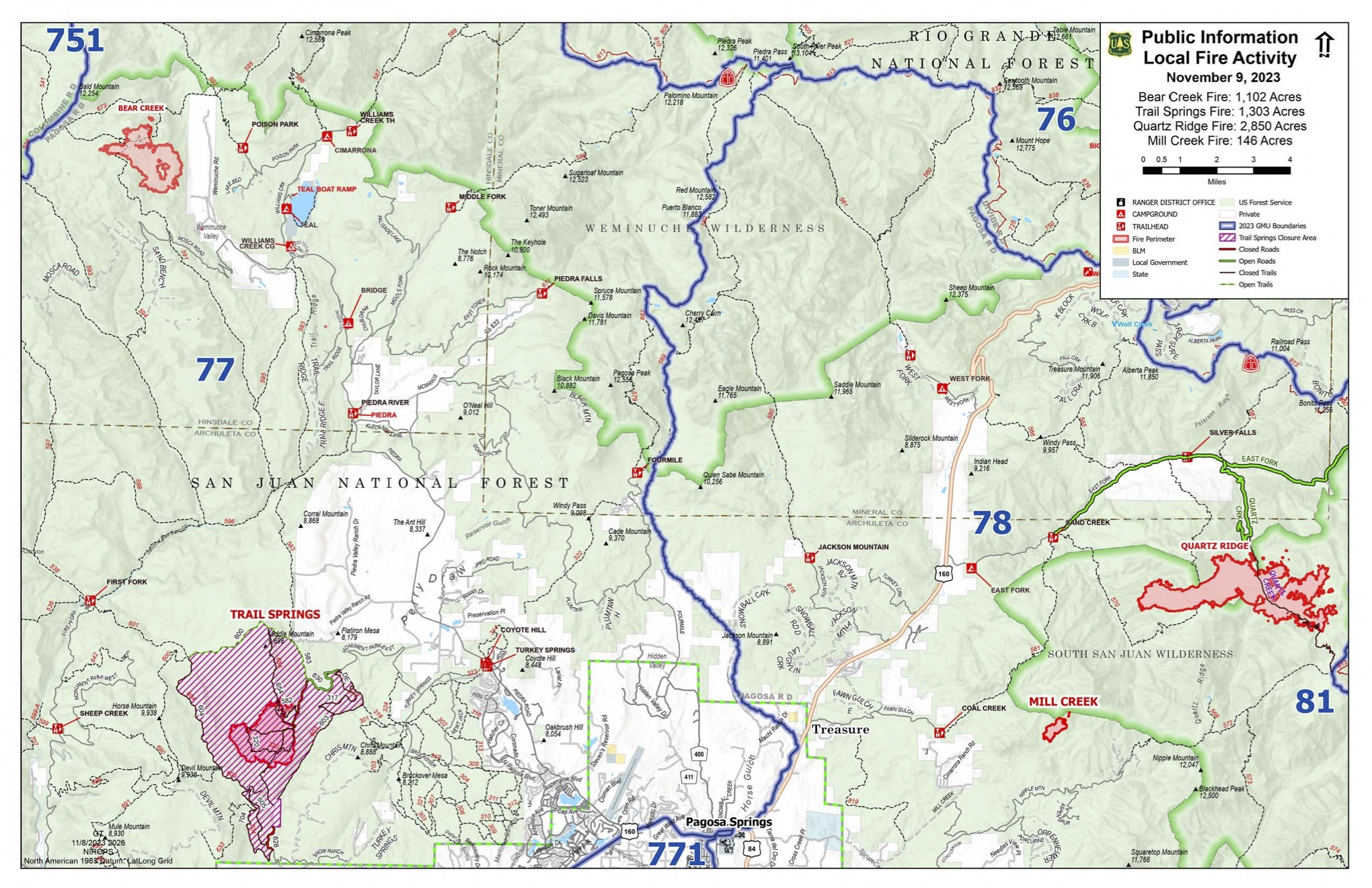
A map of the Pagosa Ranger District showing the location of Trail Springs, Mill Creek 2, Quartz Ridge, and Bear Creek Fires with hunting units overlaid.

Image options: [ Full Size ] - [ PDF ]

Image options: [ Full Size ] - [ PDF ]

Image options: [ Full Size ] - [ PDF ]

Image options: [ Full Size ] - [ PDF ]

Image options: [ Full Size ] - [ PDF ]

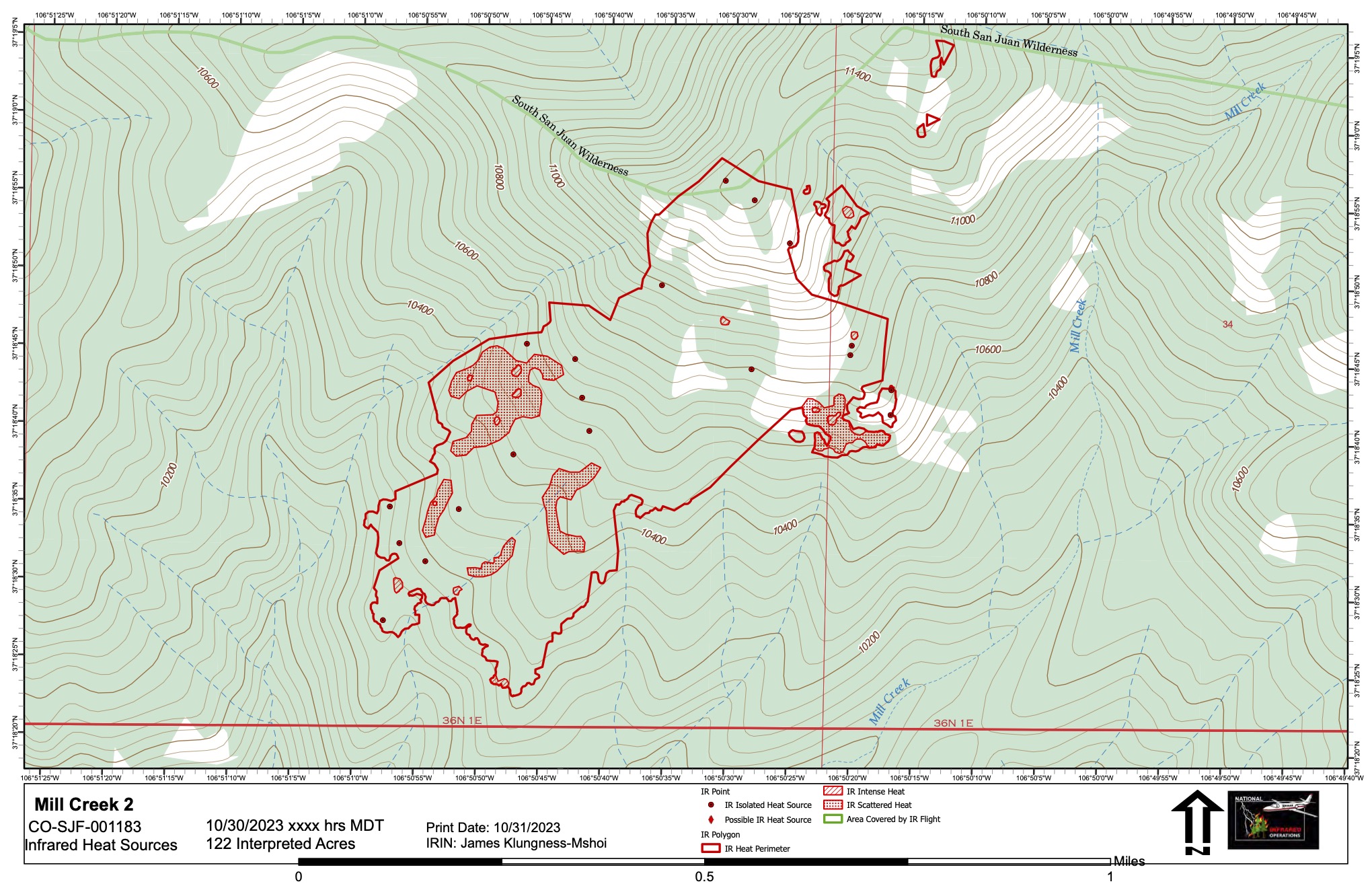
A map of the Mill Creek 2 Fire as of October 31, 2023 showing remaining sources of heat, as observed from the air with an infrared camera.

Image options: [ Full Size ] - [ PDF ]

This will be the final map for the Mill Creek 2 Fire unless there are significant changes.

Image options: [ Full Size ] - [ PDF ]

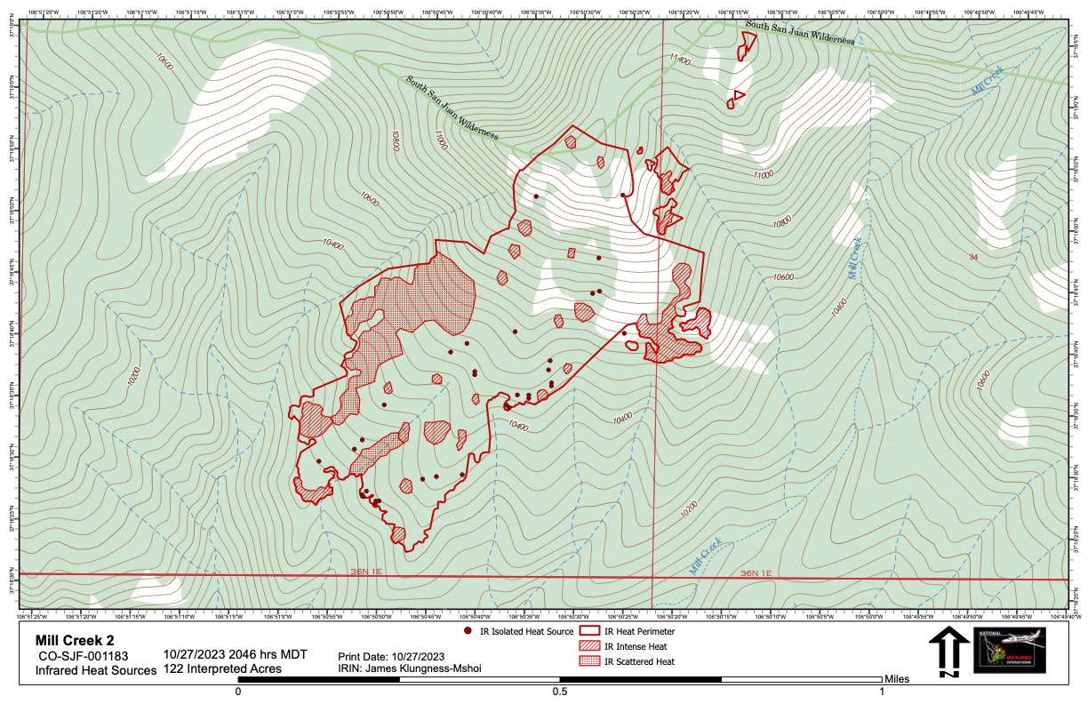
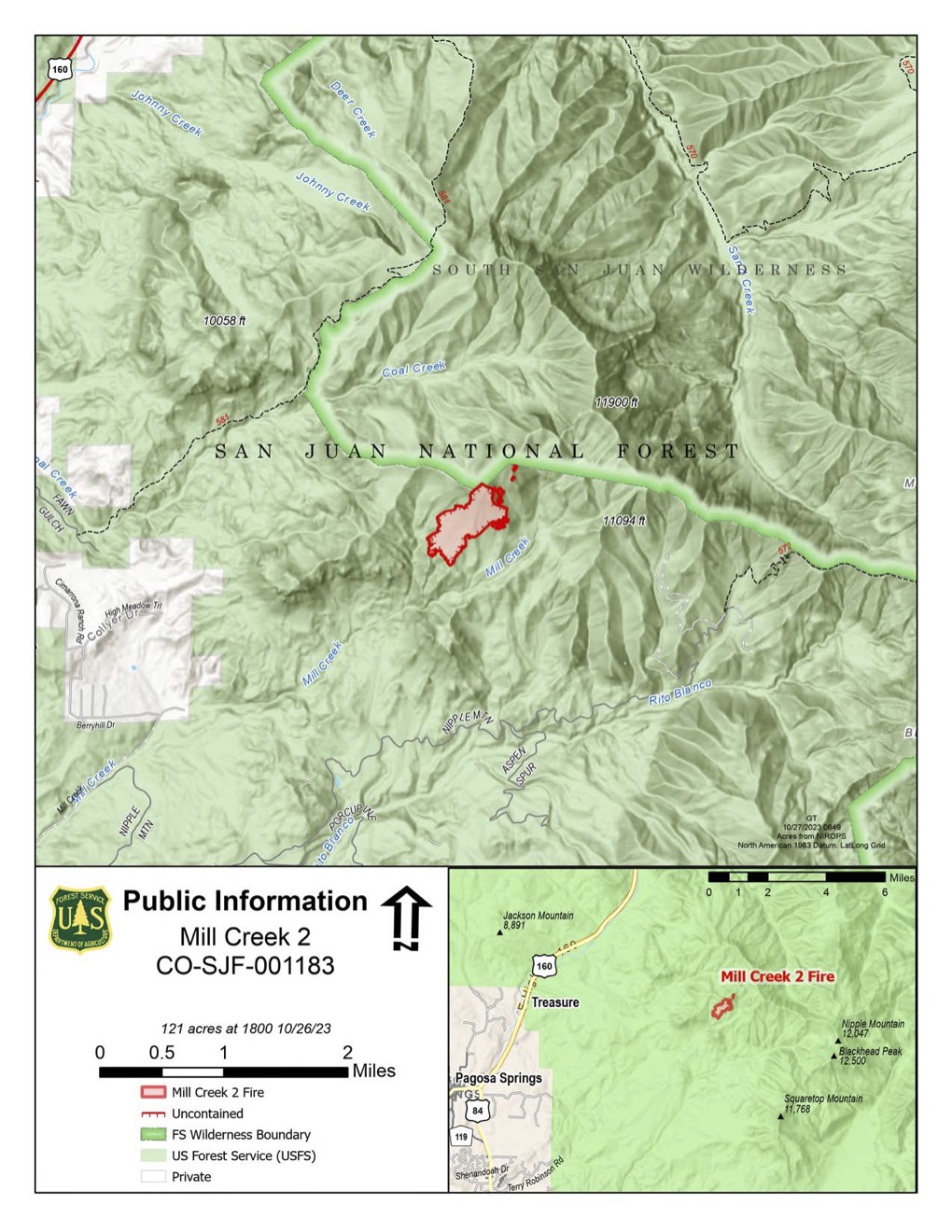
A map of the Mill Creek 2 Fire as of October 27, 2023 showing remaining sources of heat. While little fire activity has been observed, the fire does continue to smolder. With colder and moister weather predicted, fire managers expect little further growth and we will no longer be updating this map on a daily basis. Acres inside the perimeter: 122.