
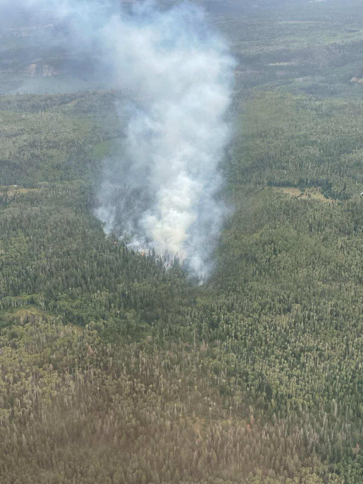
The Spring Creek Fire was reported at approximately 3:44 p.m. Sunday, Sept. 10, 2023. It is located on the Uncompahgre National Forest approximately 15 miles southwest of Montrose, Colorado. As of September 18, 2023, the Spring Creek Fire was 16 acres and 100% contained.
The following trail closures were lifted at 6 p.m. on Friday, Sept. 15, 2023: National Forest System Road (NFSR) #535 – Paradox road, NFSR #402.9A – Spring Creek Trailhead road, National Forest System Trail (NFST) #116 – Spring Creek Trail (from Dented Door to Paradox), NFST #126 – Paradox Trail and NFST #114.1B – East Fork of Dry Creek Trail
Firefighting resources remain in the area to monitor conditions. If you are recreating in the area of the Spring Creek Fire, please be aware of firefighting personnel and practice caution on roads and trails.
| Current as of | Mon, 10/09/2023 - 11:38 |
|---|---|
| Incident Type | Wildfire |
| Cause | Unknown, under investigation |
| Date of Origin | |
| Location | Approximately 15 miles southwest of Montrose, Colorado. |
| Incident Commander | USFS |
| Incident Description | East of Divide road, North of Spring Creek Canyon. The fire is approximately 15 miles southwest of Montrose, Colorado. |
| Coordinates |
38° 17' 47.1'' Latitude
-108° 03' 49.3
'' Longitude
|
| Size | 16 Acres |
|---|---|
| Percent of Perimeter Contained | 100% |
| Fuels Involved | Heavily timbered with Spruce, Fir and Aspen stands. |
| Weather Concerns | The fire area continues to see a potential for increased moisture and colder temperatures leading into the fall and winter season. |
|---|