
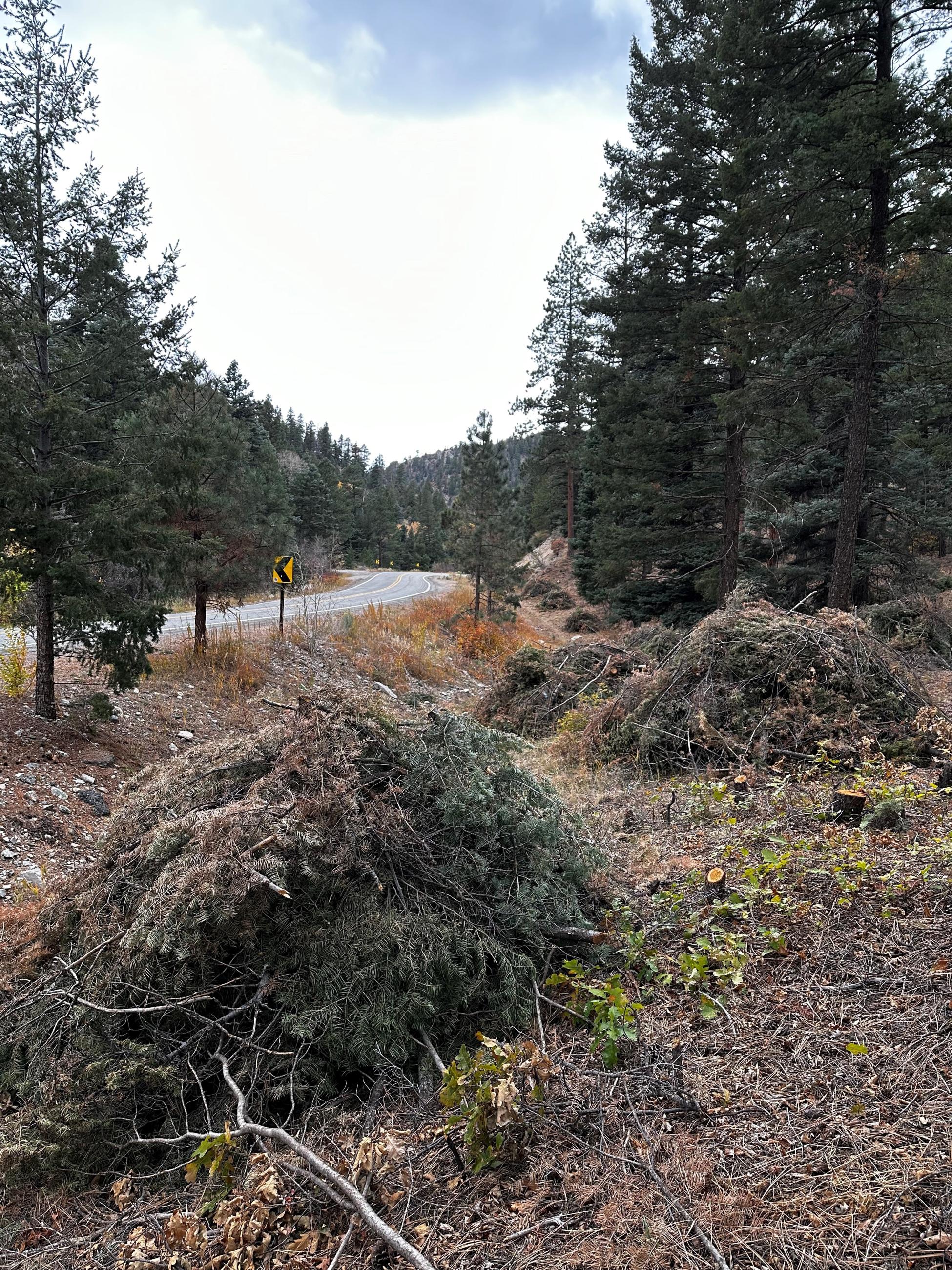
The eight-mile ride up Highway 150 from Valdez, NM, takes visitors through a narrow, forested canyon of Carson National Forest to the world famous Taos Ski Valley. Beside the road, the cascading Rio Hondo runs its course toward the Rio Grande, providing miles of fishing and feeding domestic and agricultural water along the way.
A close inspection of the trees shows that this critically important canyon is at risk of insect and disease infestation. Left untreated, the area could experience large-scale tree mortality, resulting in high fuel accumulations increasing the fire hazard.
Work to reduce fuels within and outside the forest has been underway since 2019. In collaboration with Taos County and partners, fuels reduction work has occurred on land within and adjacent to the national forest. The project is a priority of the Taos Valley Watershed Coalition.
This winter, crews are planning on pile burning along the highway between Valdez, NM, and Taos Ski Valley, as well as up the Wheeler Peak Trail to the Bull of the Woods Meadow.
This project is one of many within the Enchanted Circle Landscape, one of the highest-risk areas to wildfire in the country and a priority of the national Wildfire Crisis Strategy.
| Current as of | Tue, 12/12/2023 - 18:04 |
|---|---|
| Incident Type | Prescribed Fire |
| Location | Highway 150 and Wheeler Peak Trail |
| Coordinates |
36° 34' 27'' Latitude
-105° 30' 41
'' Longitude
|