
The Bear Creek Fire is located on the San Juan National Forest, Pagosa Ranger District approximately 2.5 miles west of the Weminuche Valley. The trail closure was lifted on 11-9-23.
Firefighters have been unable to directly engage the Bear Creek fire due to the steep remote terrain and heavy fuel loading of dead standing and down trees. Fire managers developed a strategic plan to suppress the Bear Creek fire, taking into consideration the risk posed to responders. Rain and snow have slowed the fire’s growth, but the fire continues to smolder and produce smoke from within the perimeter of the fireline. This InciWeb page will not be updated again unless significant changes occur.
| Current as of | Tue, 11/21/2023 - 12:13 |
|---|---|
| Incident Type | Wildfire |
| Cause | Lightning |
| Date of Origin | |
| Location | 20 miles NW of Pagosa Springs, CO |
| Incident Commander | Pagosa Ranger District |
| Incident Description | 83% of the objectives have been achieved. 25% full suppression 75% confinement |
| Coordinates |
37° 31' 17'' Latitude
-107° 18' 60
'' Longitude
|
| Total Personnel: | 0 |
|---|---|
| Size | 1,093 Acres |
| Estimated Containment Date | 10/31/2023 |
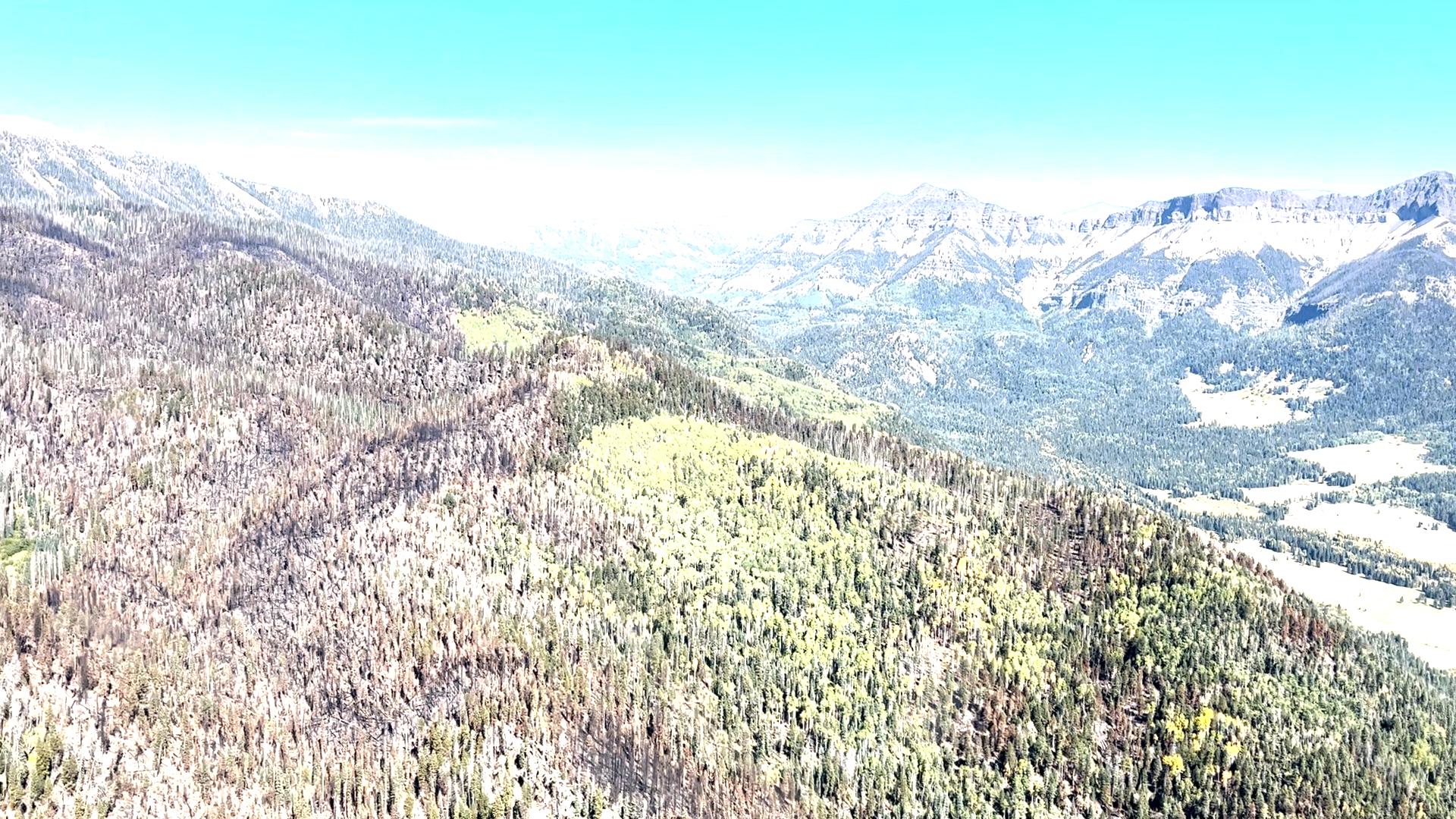
| Fuels Involved | Timber (Litter and Understory) Medium Logging Slash Fuels include mixed conifer and aspen. Due to infection of Spruce Bark Beetle, mortality in spruce at higher grounds is upwards of 80 percent. Snags are prolific in all fuel models and contributing to short range spotting and rollout. Valley bottoms are grass which is currently unavailable for fire spread. |
| Significant Events | Minimal Smoldering
|
| Planned Actions |
Observe fire spread in relation to identified Management Action Points (MAPs). |
|---|
| Weather Concerns | Snow and rain projected throughout the Thanksgiving week. |
|---|