
Highlighted Media

Units burned at the end of last weekend will be patrolled this week.
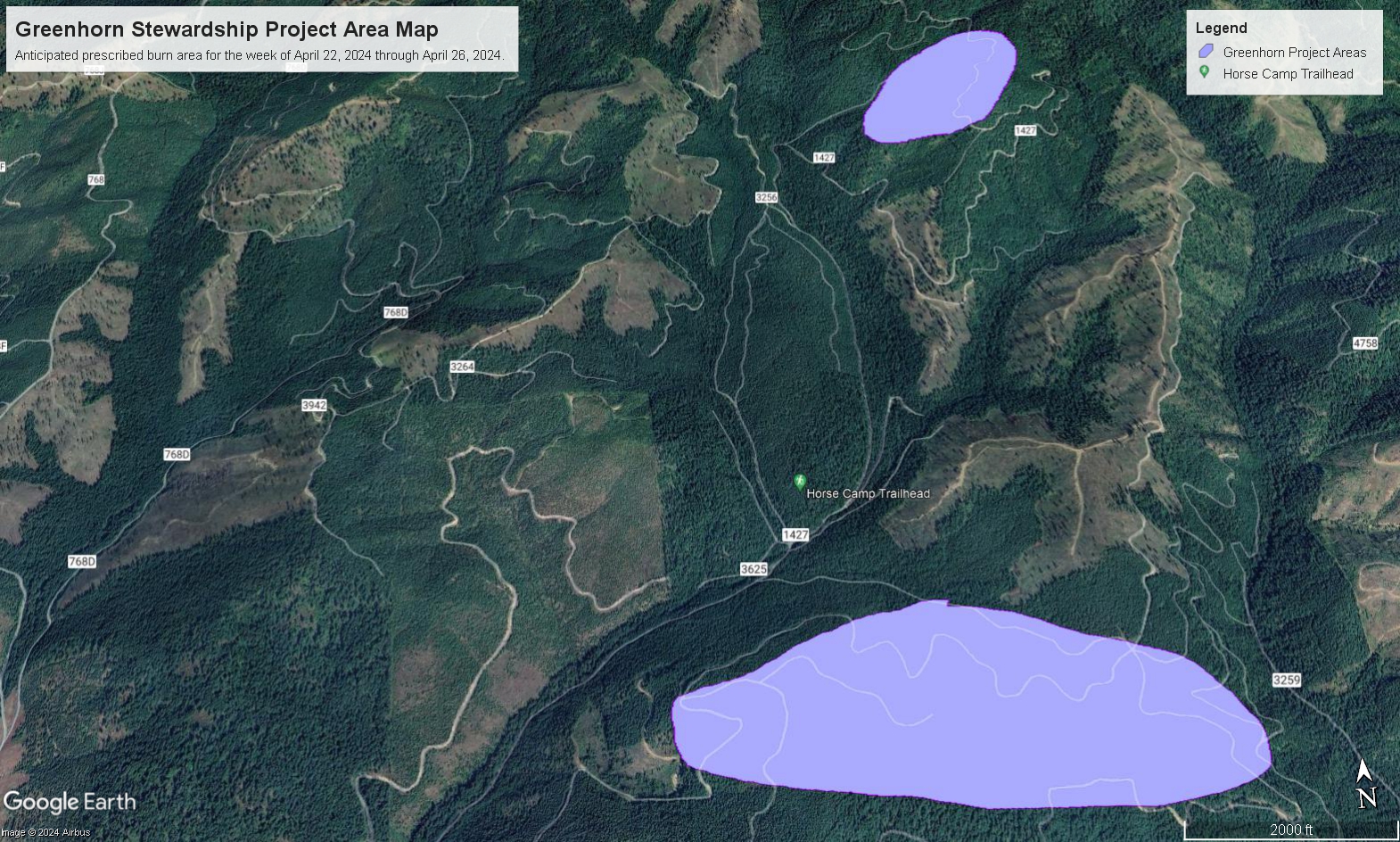
This project is located one and a half miles west of Horse Camp Trailhead and about one and a half miles east of Highway 6.
The objective of burning this slash is to remove fuel accumulations and create areas for planting new trees.
| Current as of | Mon, 05/13/2024 - 15:10 |
|---|---|
| Incident Type | Prescribed Fire |
| Date of Origin | |
| Location | This project is located approximately one and a half miles west of Horse Camp Trailhead and about one and a half miles east of Highway 6 |
| Incident Commander | Palouse Ranger District Fire and Fuels Staff |
| Coordinates |
46° 58' 55.27'' Latitude
-116° 36' 6.20
'' Longitude
|
| Size | 188 Acres |
|---|
| Planned Actions |
Resources will patrol units burned at the end of last week. Everything has been burning exceptionally well, with very ideal spring burning conditions. |
|---|