
Single Publication
Could not determine your location.
 Wildfire
 Prescribed Fire
 Burned Area
Response
Burned Area
Response Other
Other
HPCC Burn Scar Flash Flood Potential Very High for June 8
Hermits Peak and Calf Canyon BAER
Publication Type: News 06/07/2022
Hermits Peak-Calf Canyon Burn Scar Flash Flood Potential Very High on Wednesday, June 8, 2022
SHARING IMPORTANT INFORMATION FROM THE NATIONAL WEATHER SERVICE—ALBUQUERQUE NM:
A Flash Flood Watch has been posted: WWA Summary for Flood Watch Issued by ABQ (weather.gov)
We anticipate some additional advisories/warnings on Wednesday, June 8, 2022.
The National Weather Service (NWS) briefing is publicly available at https://www.weather.gov/media/abq/Briefings/weeklyweatherbriefing.pdf
Flooding Preparedness NWS Website:
Emergency Preparedness: Flooding (weather.gov)
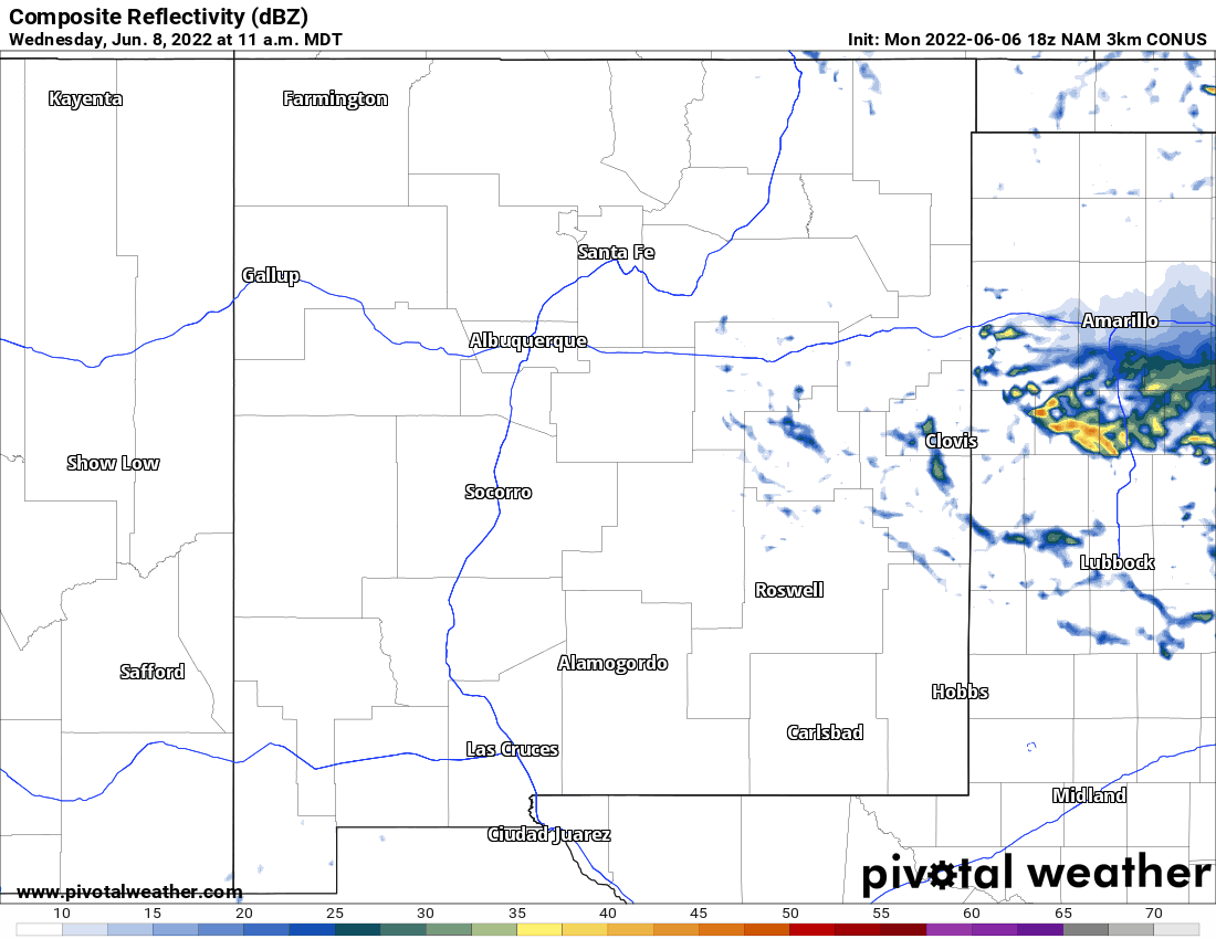
NWS is closely watching thunderstorm trends for Tuesday afternoon, June 7, but especially on Wednesday, June 8, which is the bigger day of concern.
Moisture will be strongly replenished starting Tuesday evening/night into early Wednesday, June 8.
The coverage of thunderstorms near and within the Hermits Peak-Calf Canyon fire perimeter Wednesday afternoon, June 8, is likely to be the greatest that we have seen thus far.
Most probable window is 11:00am through 7:00pm.
Real concerns for flash flooding from any thunderstorm during this timeframe is given very high potential for 0.25” in the span of 15-30 minutes.
This is not the monsoon pattern just yet but more the effects of backdoor cold fronts flushing in higher moisture from the east. The area does dry out again Thursday-Saturday, June 9-June 11.
ATTACHED AT THE BOTTOM OF THIS PAGE IS A LINK TO A GIF MOVING NWS MAP