
Single Publication
Could not determine your location.
 Wildfire
 Prescribed Fire
 Burned Area
Response
Burned Area
Response Other
Other
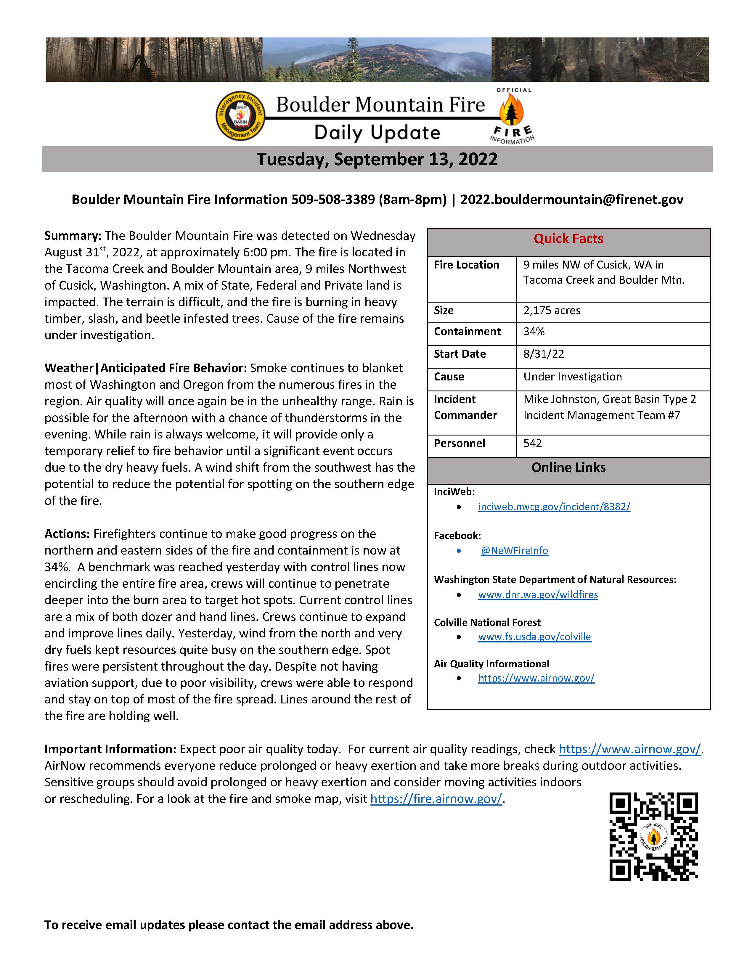
Boulder Mountain Fire Daily Update September 13, 2022
Boulder Mountain Fire
Publication Type: News 09/13/2022
Tuesday, September 13, 2022
Boulder Mountain Fire Information 509-508-3389 (8am-8pm) | 2022.bouldermountain@firenet.gov
Quick Facts
Fire Location: 9 miles NW of Cusick, WA in Tacoma Creek and Boulder Mtn.
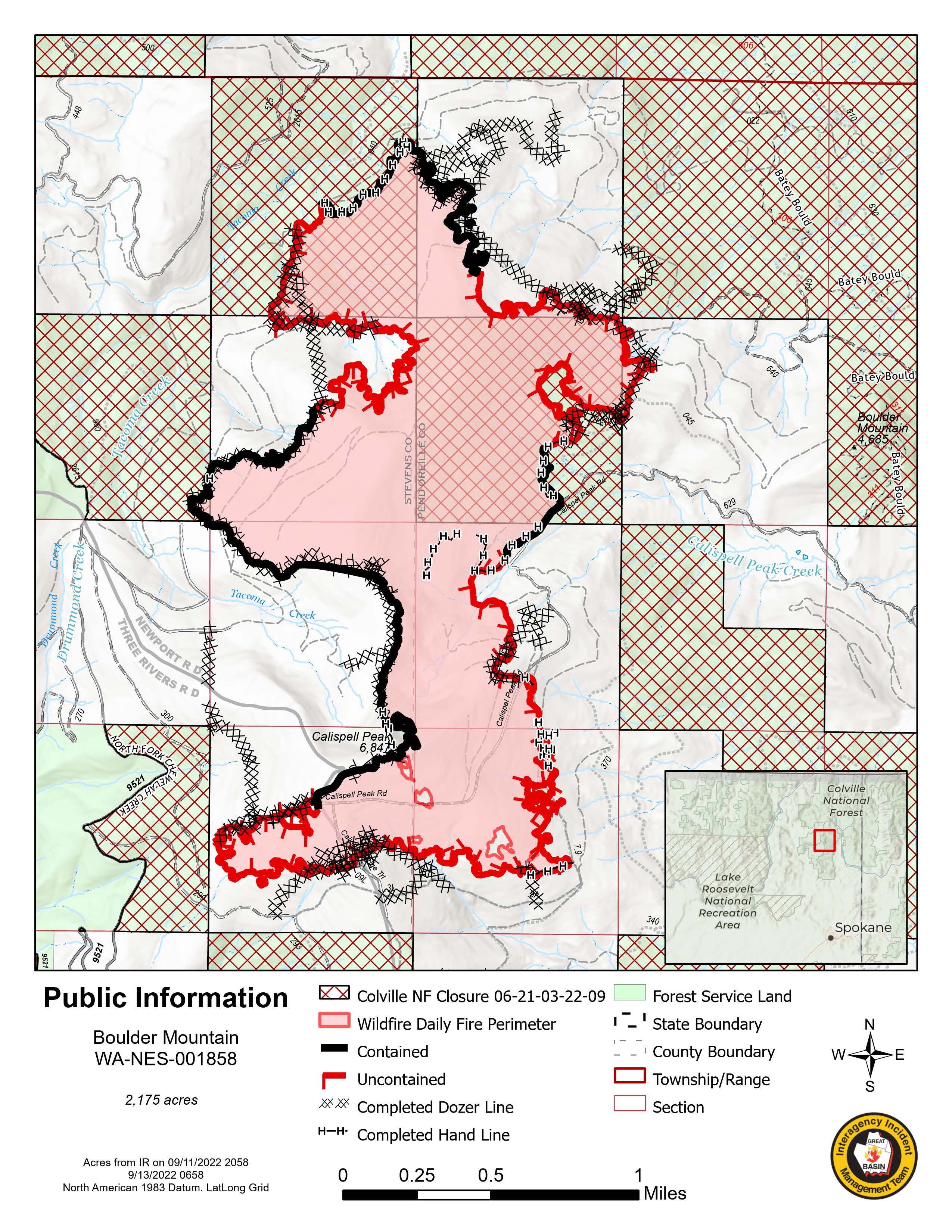
Size: 2,175 acres
Containment: 34%
Start Date: 8/31/22
Cause: Under Investigation
Incident Commander: Mike Johnston, Great Basin Type 2 Incident Management Team #7
Personnel: 542
Online Links
InciWeb: inciweb.nwcg.gov/incident/8382/
Facebook: @NeWFireInfo
Washington State Department of Natural Resources: www.dnr.wa.gov/wildfires
Colville National Forest: www.fs.usda.gov/colville
Air Quality Informational: https://www.airnow.gov/
Summary: The Boulder Mountain Fire was detected on Wednesday August 31st, 2022, at approximately 6:00 pm. The fire is located in the Tacoma Creek and Boulder Mountain area, 9 miles Northwest of Cusick, Washington. A mix of State, Federal and Private land is impacted. The terrain is difficult, and the fire is burning in heavy timber, slash, and beetle infested trees. Cause of the fire remains under investigation.
Weather|Anticipated Fire Behavior: Smoke continues to blanket most of Washington and Oregon from the numerous fires in the region. Air quality will once again be in the unhealthy range. Rain is possible for the afternoon with a chance of thunderstorms in the evening. While rain is always welcome, it will provide only a temporary relief to fire behavior until a significant event occurs due to the dry heavy fuels. A wind shift from the southwest has the potential to reduce the potential for spotting on the southern edge of the fire.
Actions: Firefighters continue to make good progress on the northern and eastern sides of the fire and containment is now at 34%. A benchmark was reached yesterday with control lines now encircling the entire fire area, crews will continue to penetrate deeper into the burn area to target hot spots. Current control lines are a mix of both dozer and hand lines. Crews continue to expand and improve lines daily. Yesterday, wind from the north and very dry fuels kept resources quite busy on the southern edge. Spot fires were persistent throughout the day. Despite not having aviation support, due to poor visibility, crews were able to respond and stay on top of most of the fire spread. Lines around the rest of the fire are holding well.
Important Information: Expect poor air quality today. For current air quality readings, check https://www.airnow.gov/. AirNow recommends everyone reduce prolonged or heavy exertion and take more breaks during outdoor activities. Sensitive groups should avoid prolonged or heavy exertion and consider moving activities indoors or rescheduling. For a look at the fire and smoke map, visit https://fire.airnow.gov/.