Incident Media Photographs
Could not determine your location.
Photographs Gallery
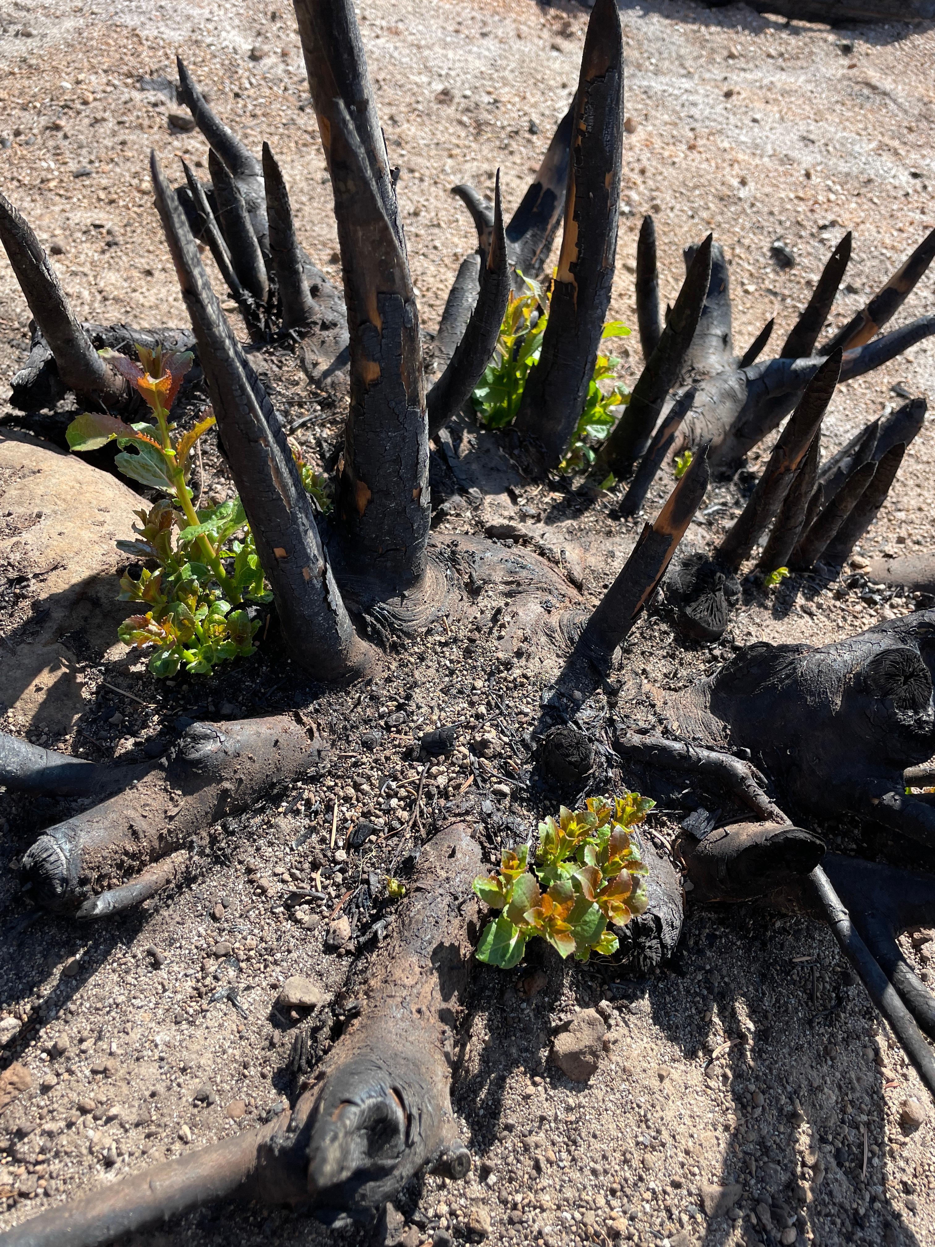
BAER team members have observed plant species are already showing signs of regrowth post-fire.
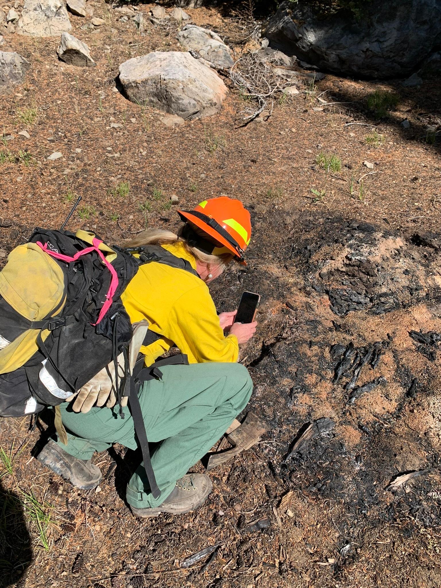
BAER botanists review vegetation loss on the Cedar Creek Fire to validate and update data to create a vegetation mortality map.
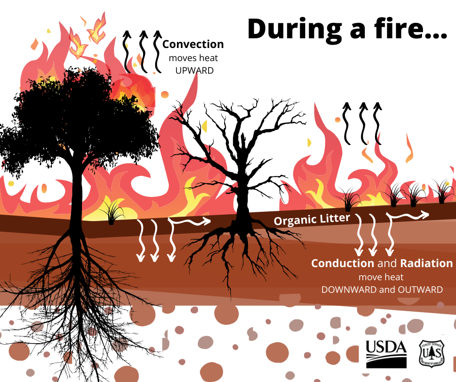
Trees, shrubs, grasses, and the layer of litter on the ground will burn at different intensities in different areas, causing some soils to be exposed to higher heat in some of those high fire intensity burn areas.
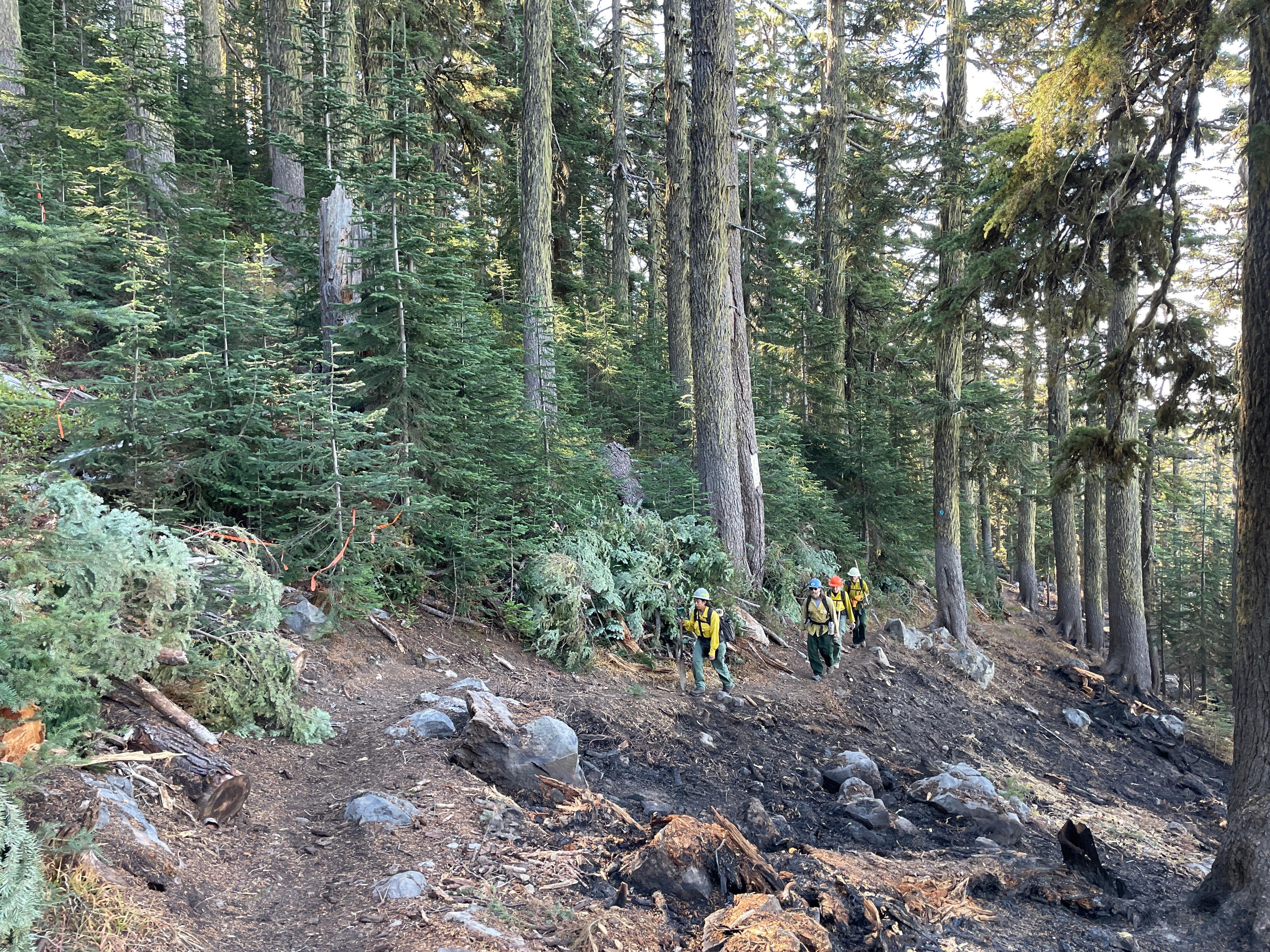
Cedar Creek BAER team members hike through areas along the edge of the Cedar Creek Fire to verify soil burn severity and identify emergency risks and imminent threats to critical values.
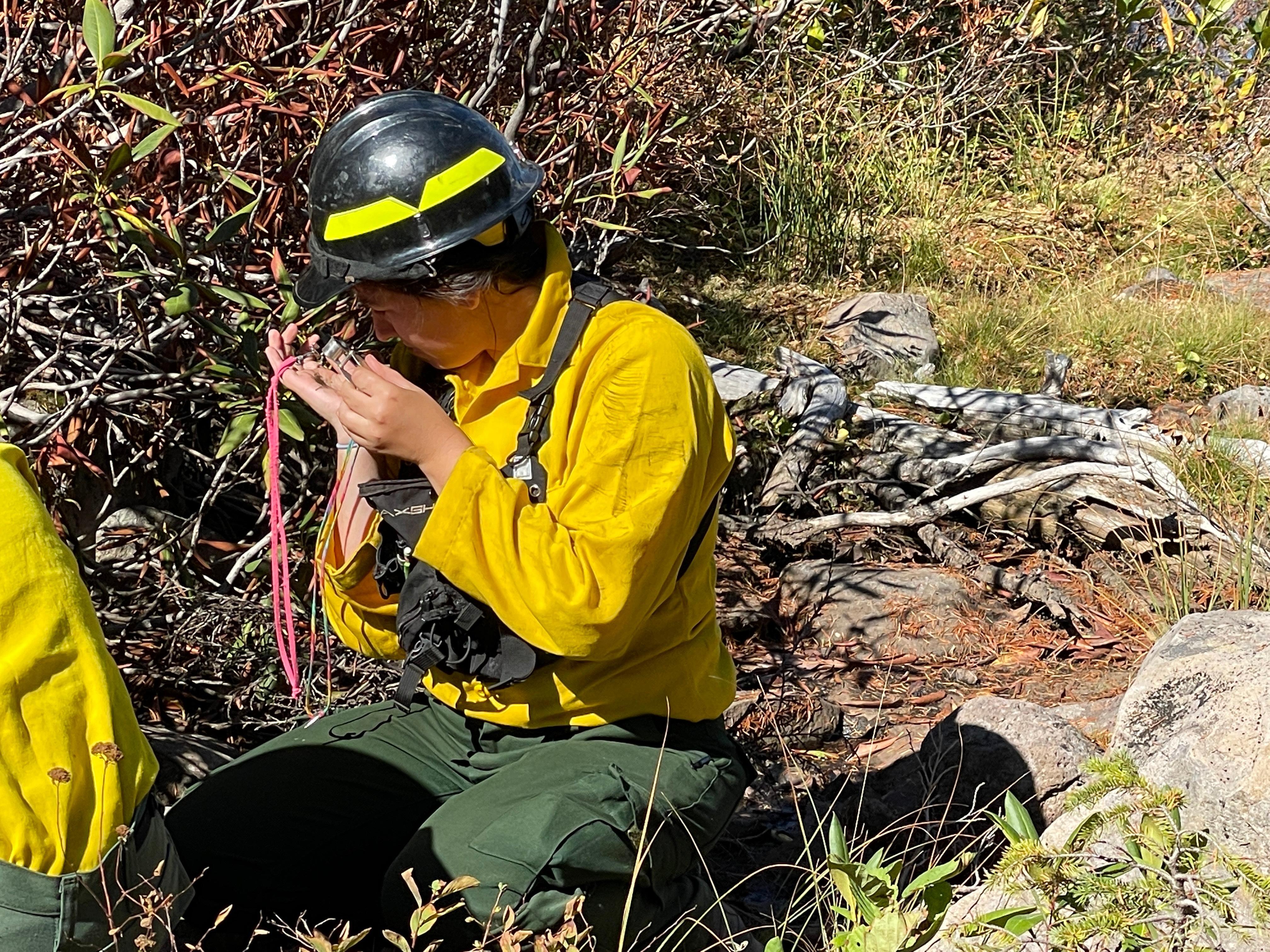
Botanist uses a hand lens to identify remaining plants of a known rare species.
Burned Area Emergency Response Logo
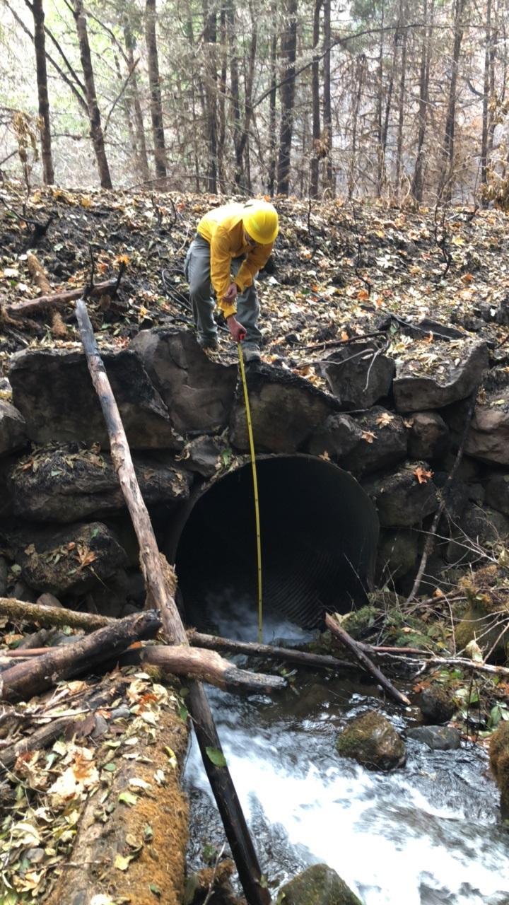
Engineers, hydrologists & fish biologists assess culvert size and capacity to evaluate for potential stream flow changes.
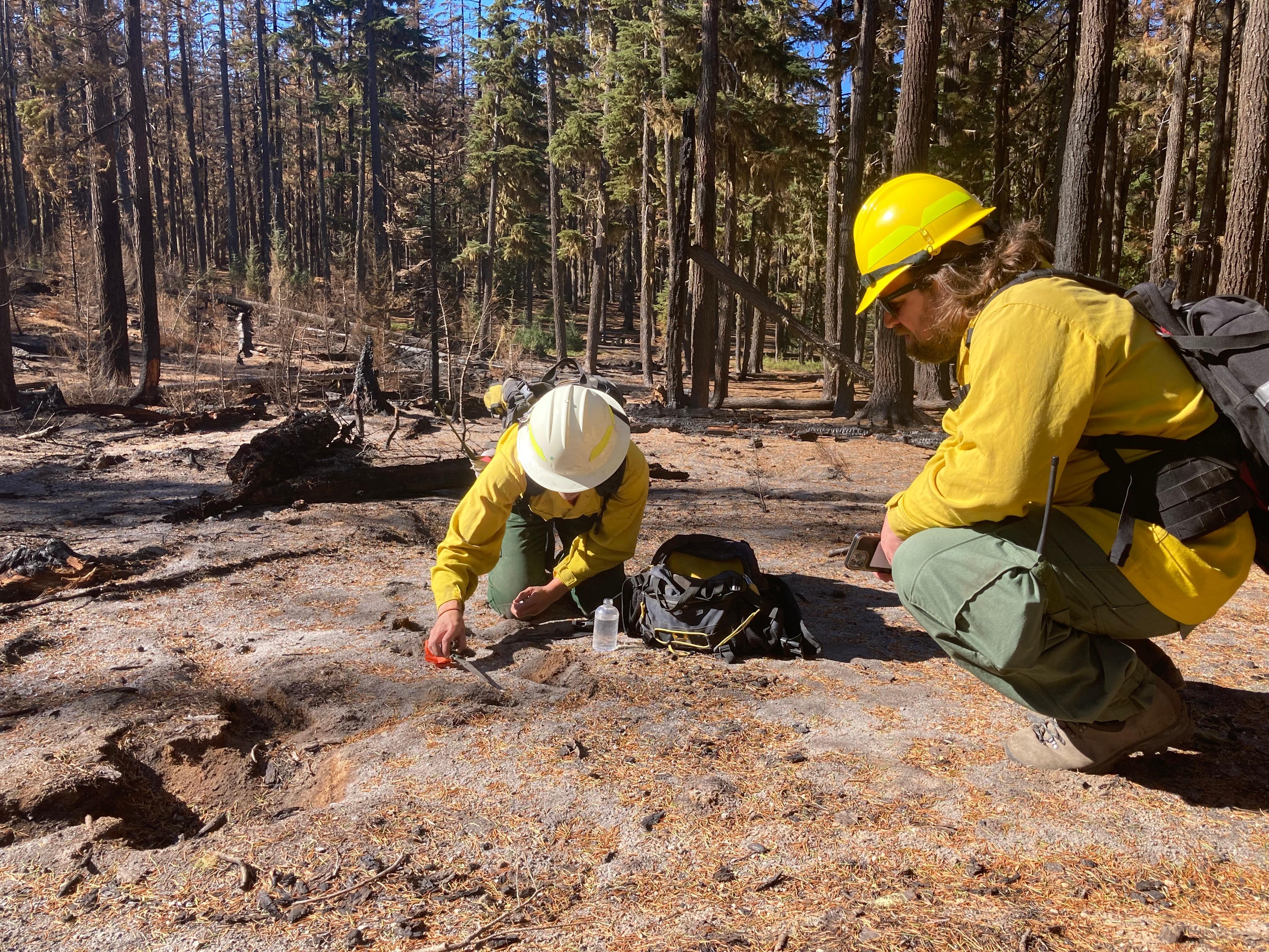
Soil scientist and hydrologist examine the layers of soil to help determine soil burn severity.

 InciWeb