Incident Media Photographs
Could not determine your location.
Photographs Gallery
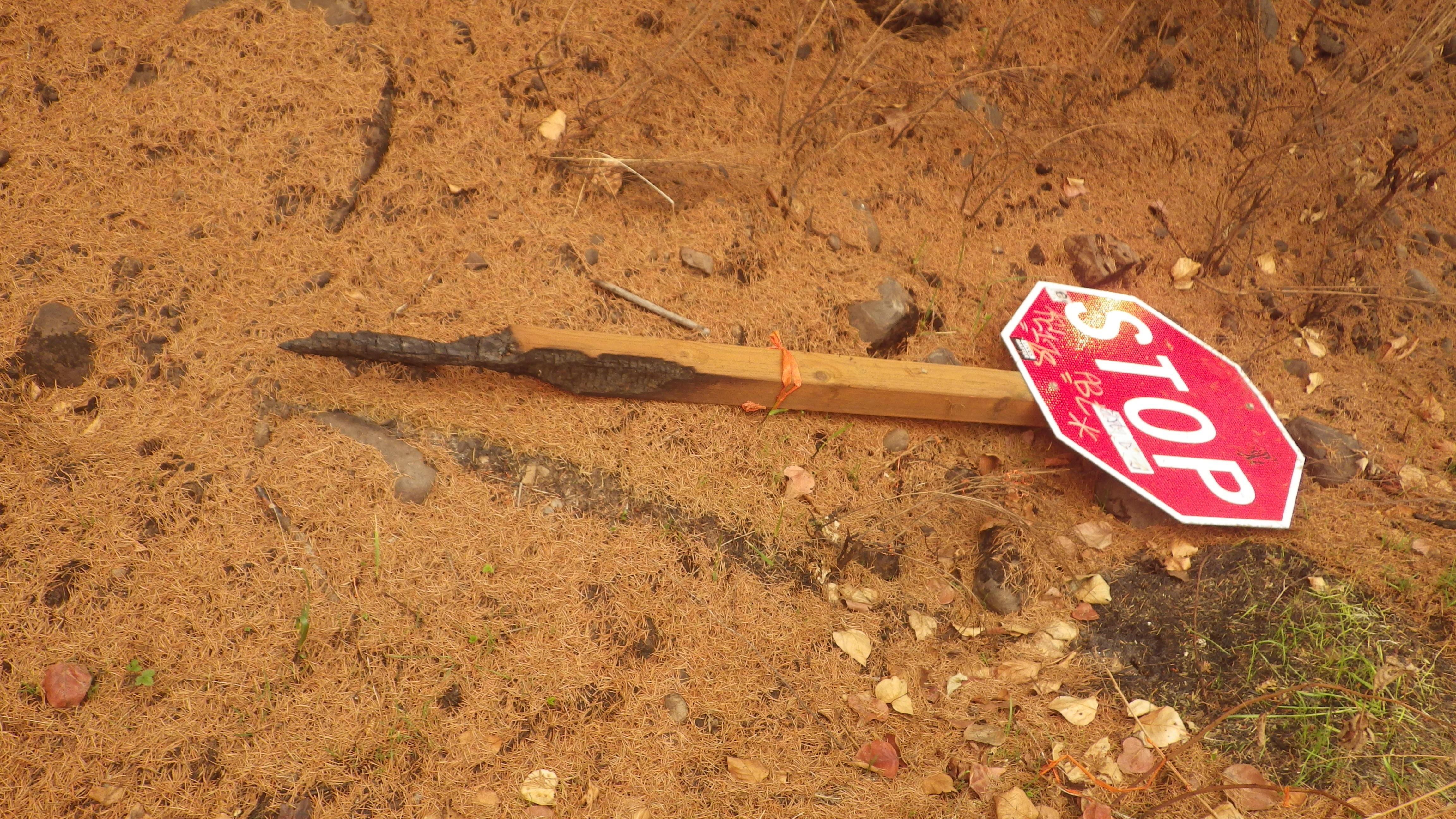
Engineers note missing and damaged signs as part of the risk assessment.
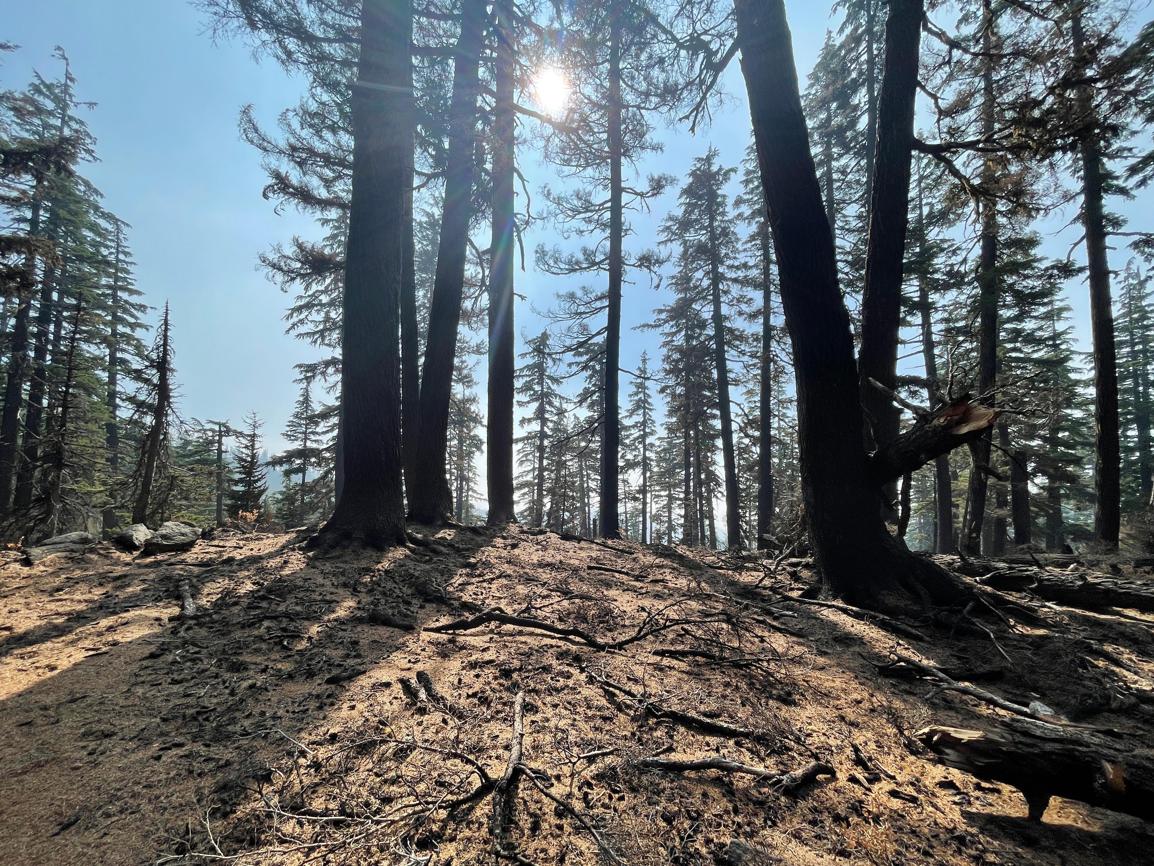
These trees dropped needles which will provide a helpful groundcover that help slow the interaction between rain drops and soil particles that would otherwise move down the slope.
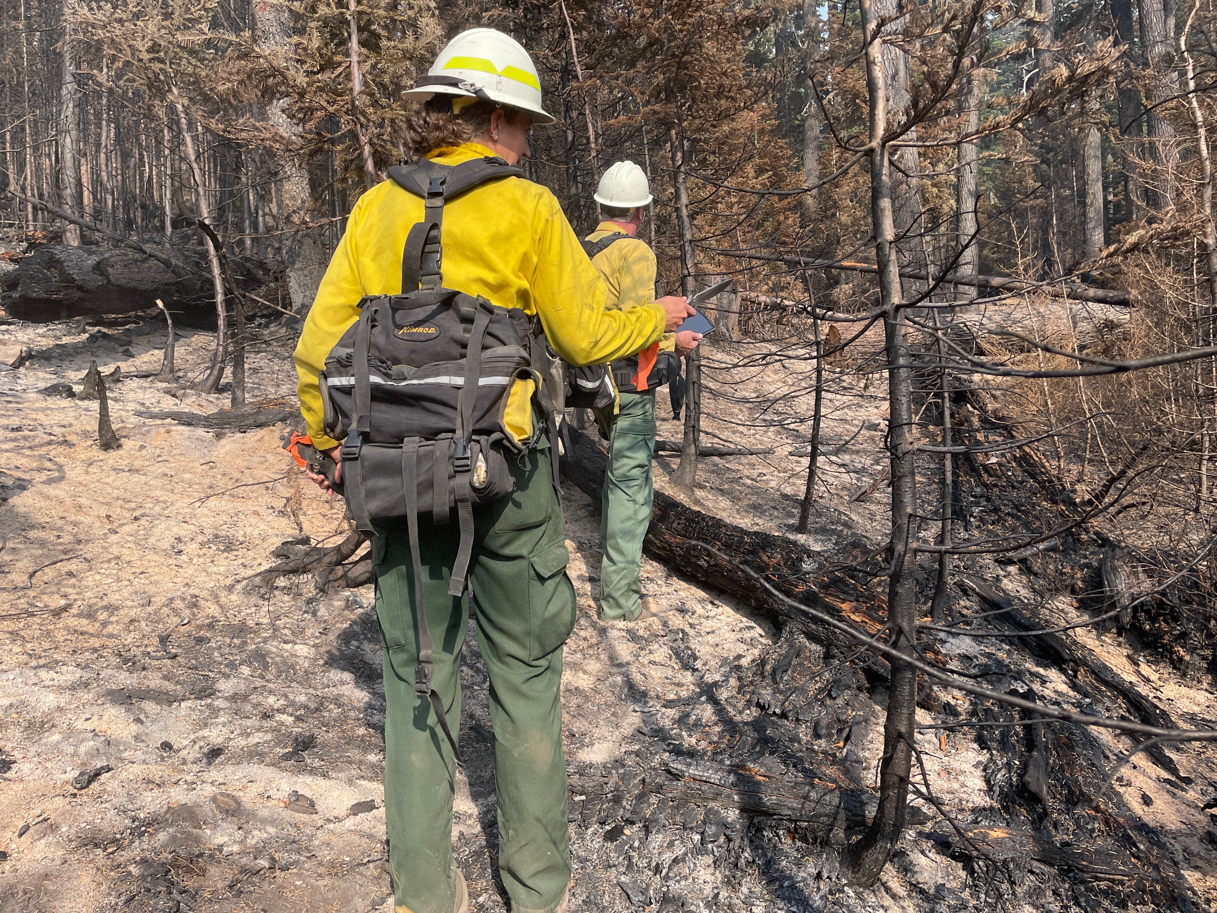
Cedar Creek BAER team soils specialists review and validate soil burn severity on the ground in comparison to a draft map created using satellite data.
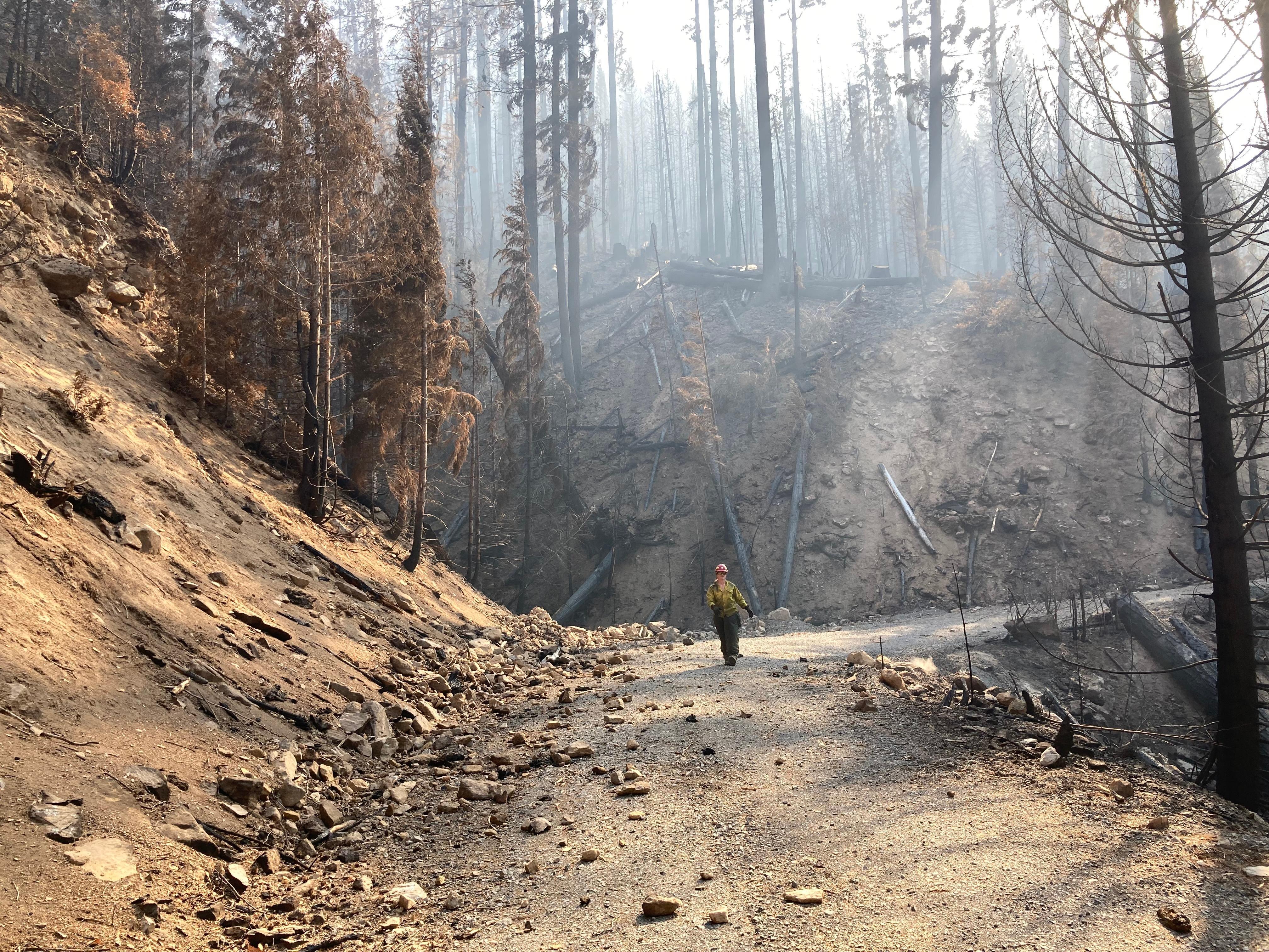
The Cedar Creek Fire BAER (Burned Area Emergency Response) Team geologist has been evaluating rockfall hazards around the fire area.
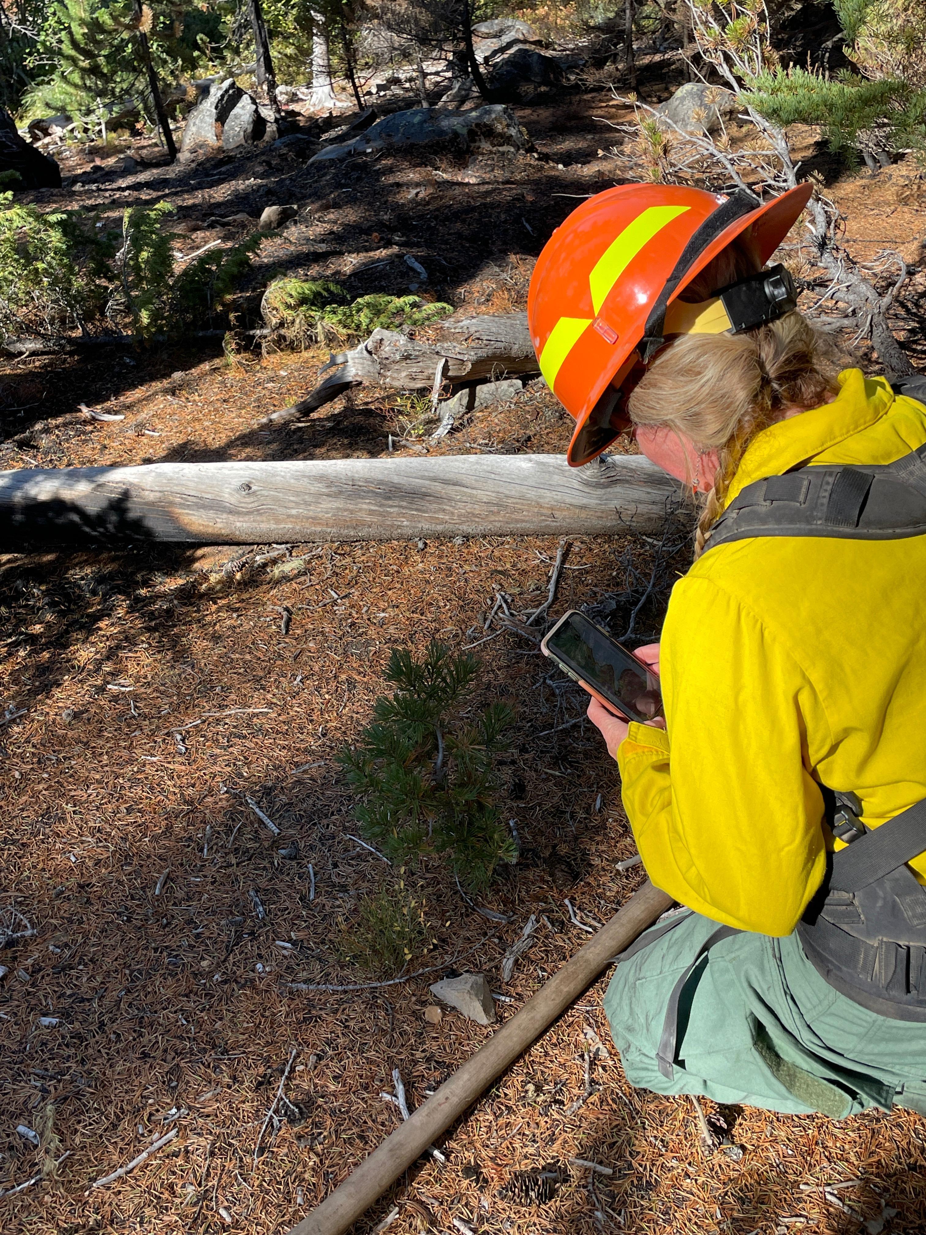
A botanist documents a whitebark pine tree population within the Cedar Creek Fire.
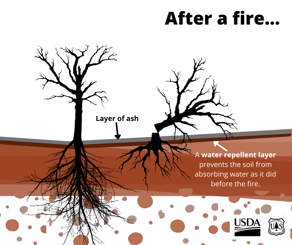
Scientists look at changes in the soils, including: Loss of ground cover; Changes in the surface color; Changes in soil structure; Loss of fine roots in the surface soils; Formation of water-repellent layers that limit ability of soil to absorb water
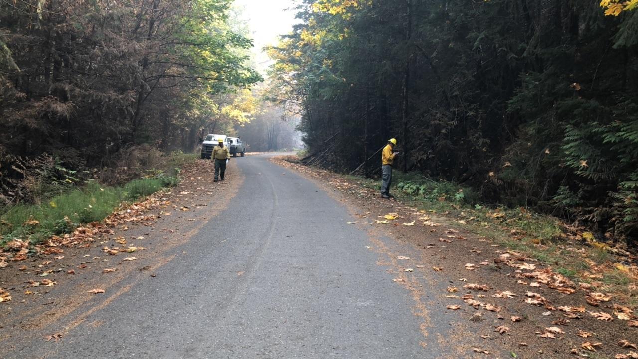
Engineers examine the condition of roadways and check drainage features to determine if they can handle estimated post-fire storm flows.
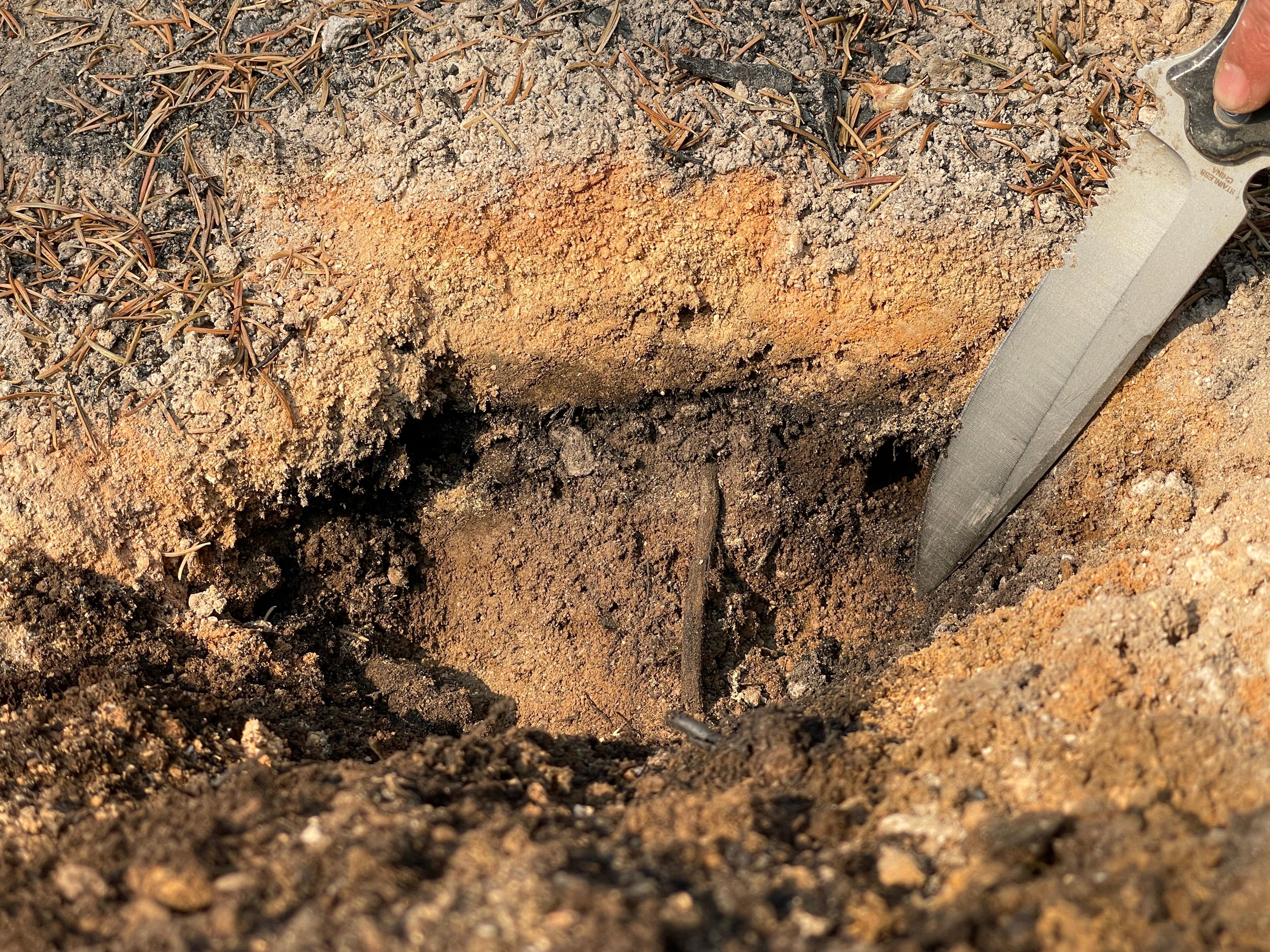
Here the surface litter has been fully consumed and the top layers of this soil have been oxidized as evidenced by the change in color. Deeper below the surface the soil retains its color and soil properties. This is an example of high soil severity.
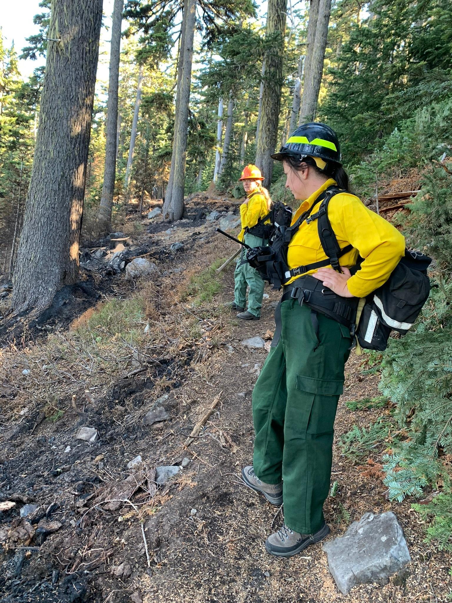
BAER botanists review vegetation loss on the Cedar Creek Fire to validate and update data to create a vegetation mortality map.
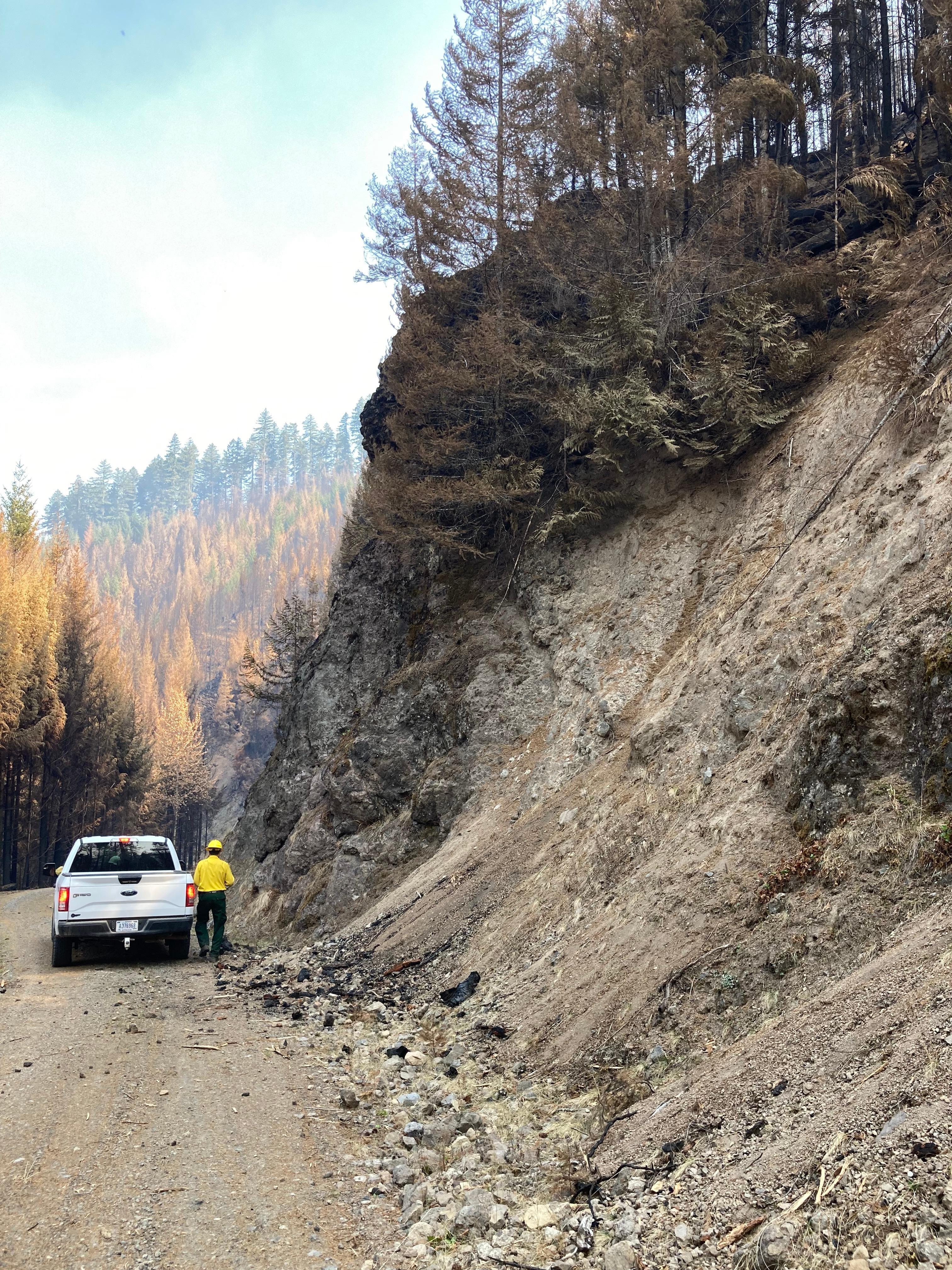
The Cedar Creek Fire BAER (Burned Area Emergency Response) Team geologist has been evaluating rockfall hazards around the fire area.
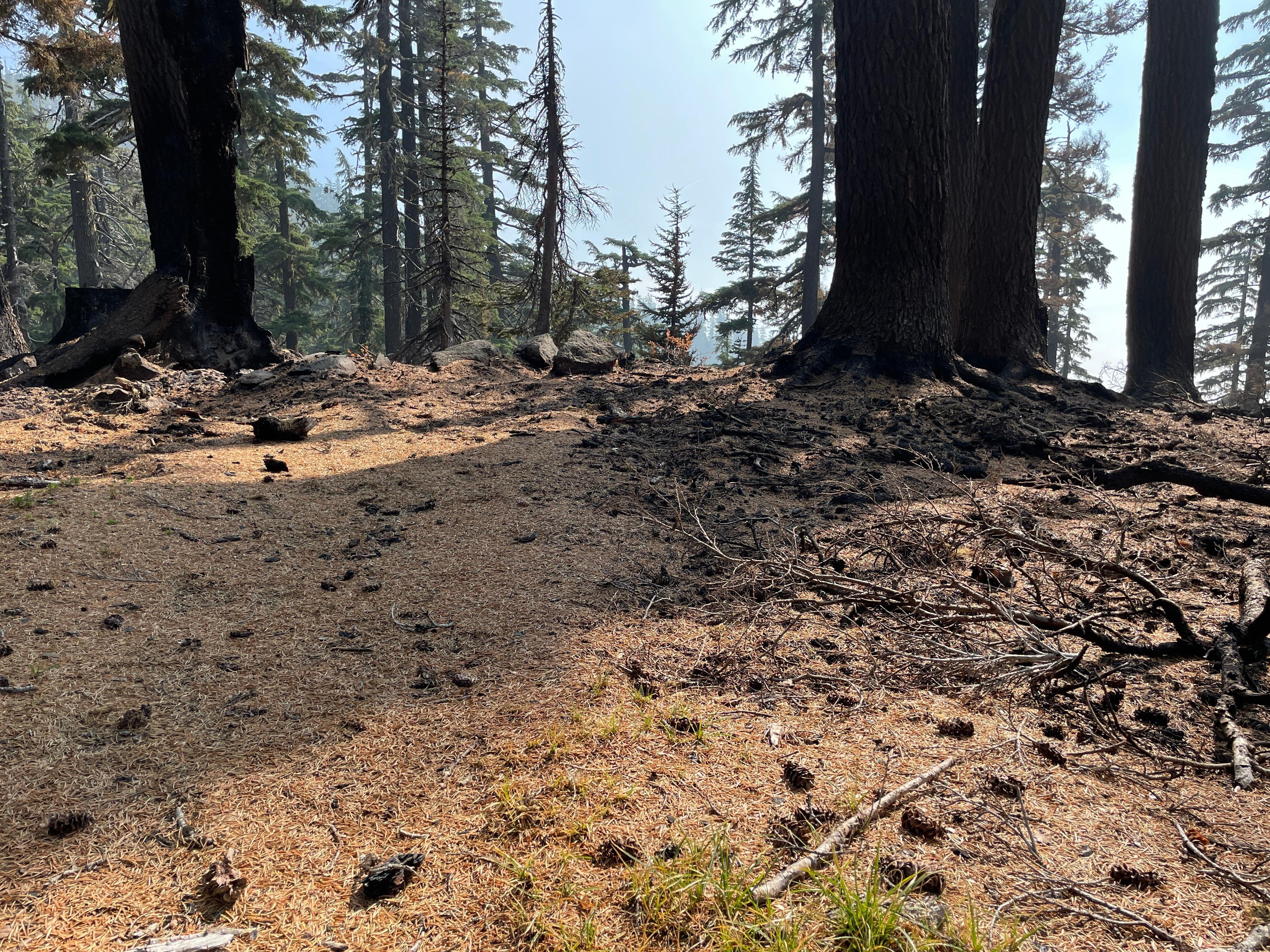
These trees dropped needles which will provide a helpful groundcover that help slow the interaction between rain drops and soil particles that would otherwise move down the slope.
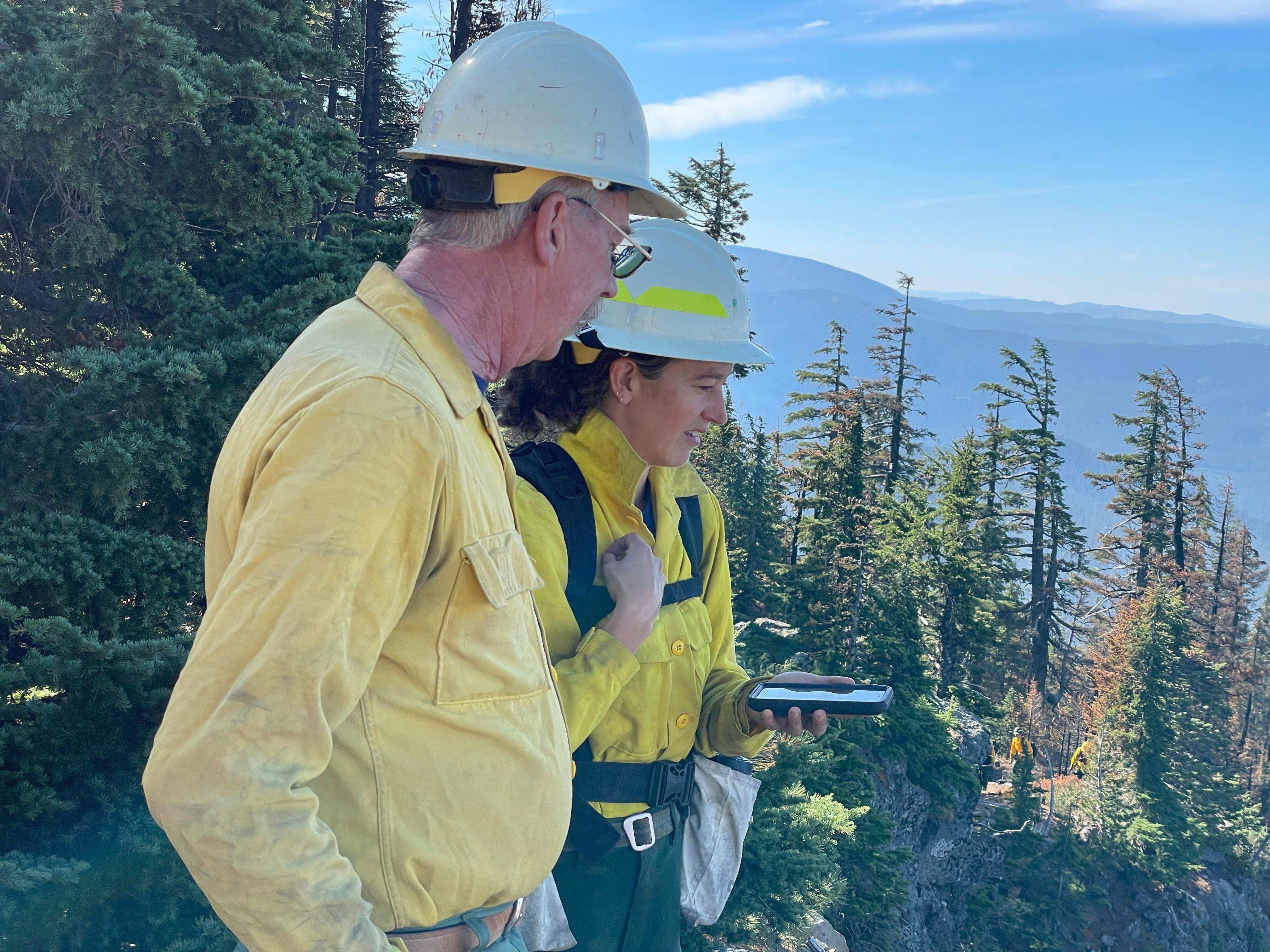
Cedar Creek BAER team soils specialists review and validate soil burn severity on the ground in comparison to a draft map created using satellite data.

 InciWeb